Last Updated: 20th Dec 2025
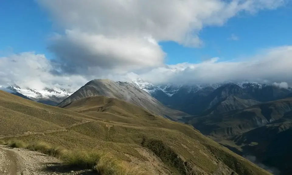
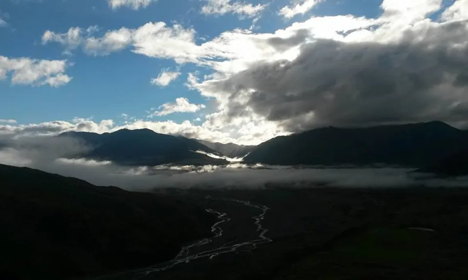
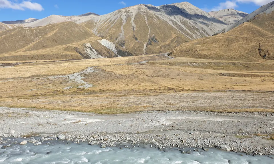
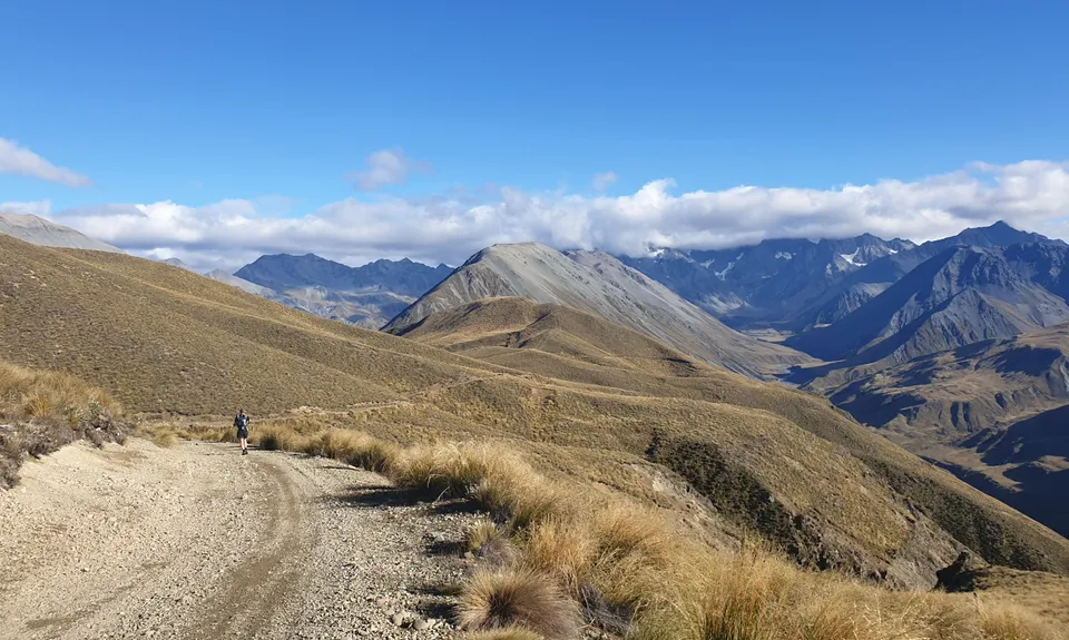
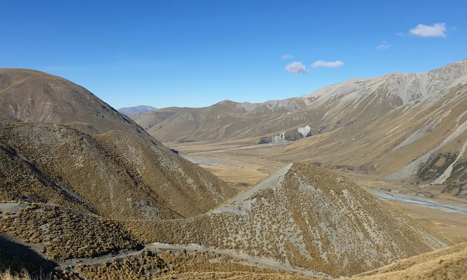
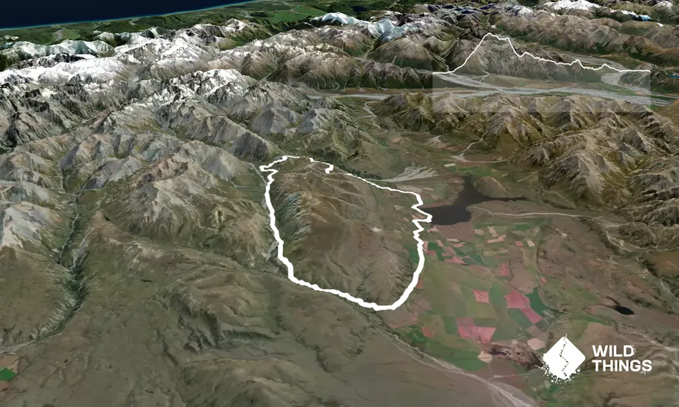
Big A Little A - Mt Arrowsmith
Last Updated: 20th Dec 2025
Open
Grunt Factor: 48 ?
Gnarl Factor: 7 ?
42.2km
1075m
1075m
1404m
.jpg)
_001.jpg)
Trail Map
This Topo layer only covers NSW/ACT.
Switch to another map layer when viewing outside this area.
Switch to another map layer when viewing outside this area.


