Last Updated: 20th May 2026
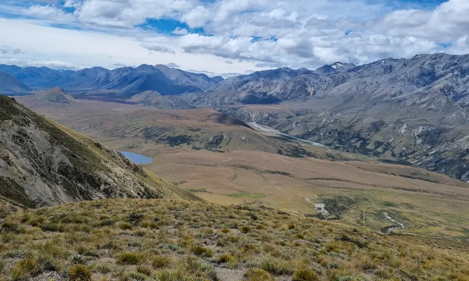
Clent Eastward in “Barrosa”
Last Updated: 20th May 2026
Open
Grunt Factor: 45 ?
Gnarl Factor: 47 ?
26.3km
1300m
1300m
1364m
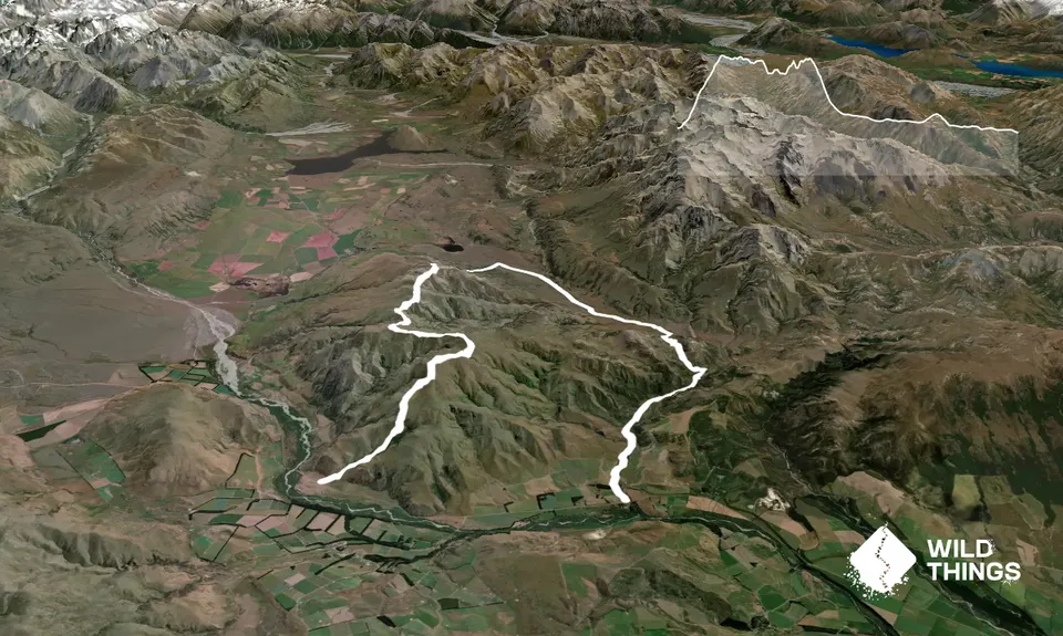
Trail Map
This Topo layer only covers NSW/ACT.
Switch to another map layer when viewing outside this area.
Switch to another map layer when viewing outside this area.


