Last Updated: 6th Feb 2026
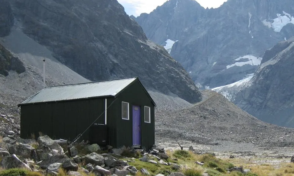
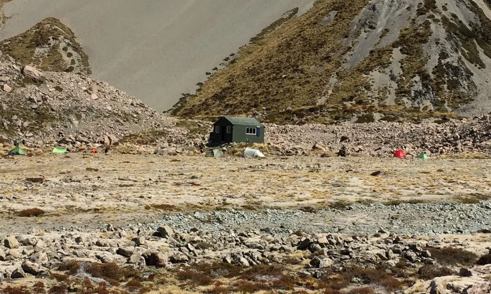
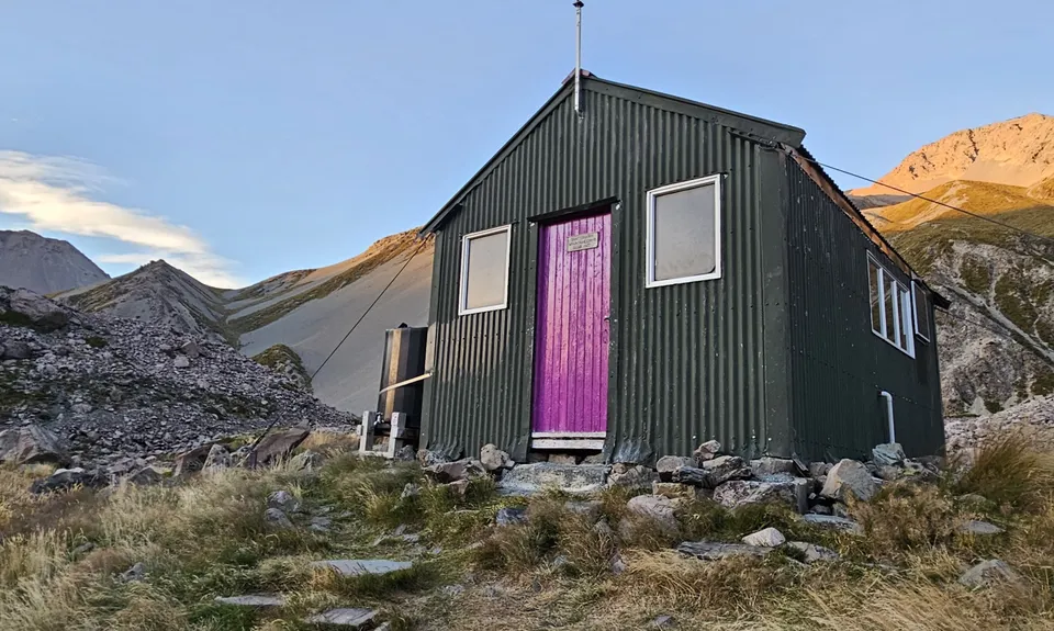
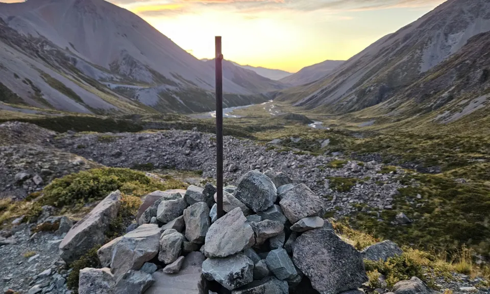
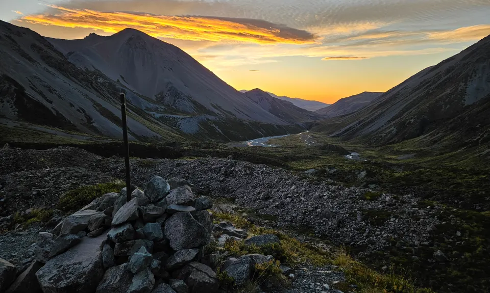
Cameron Hut return
Last Updated: 6th Feb 2026
Open
Grunt Factor: 42 ?
Gnarl Factor: 54 ?
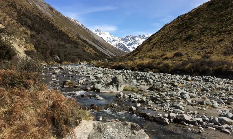
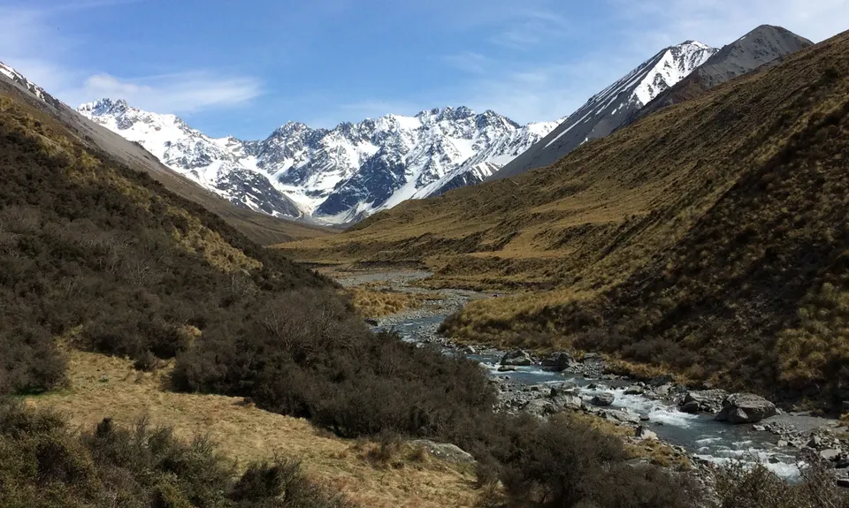
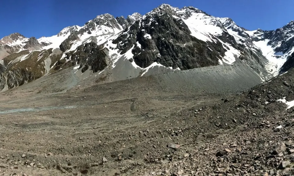
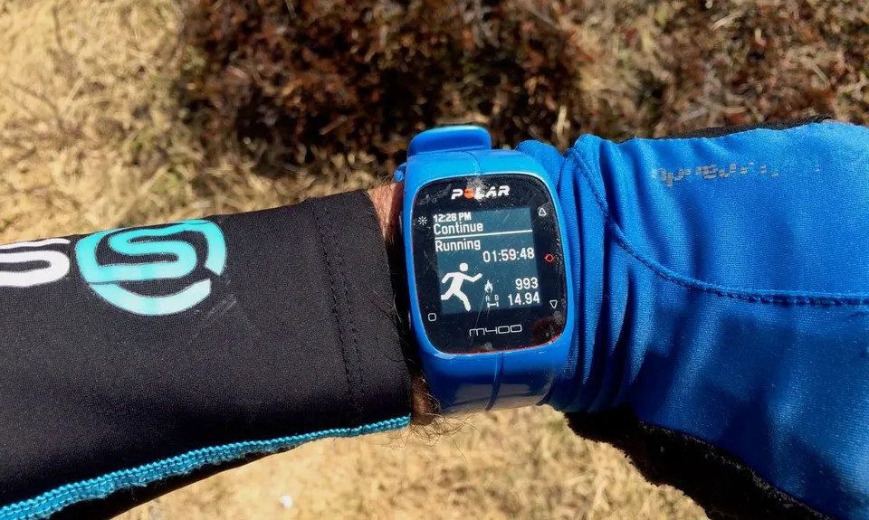
31.0km
800m
800m
1300m


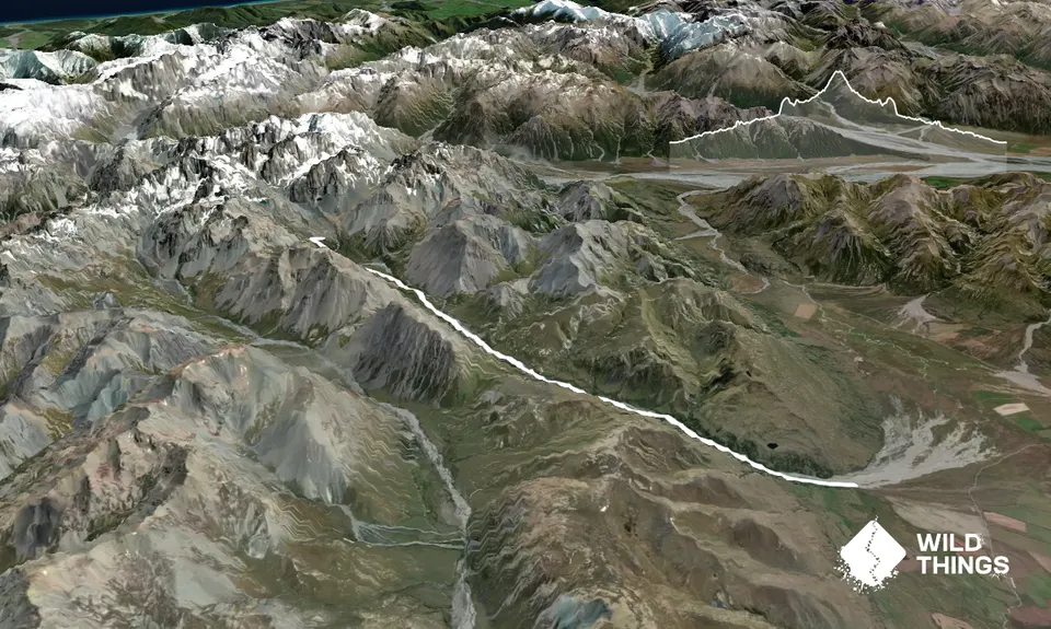
Trail Map
This Topo layer only covers NSW/ACT.
Switch to another map layer when viewing outside this area.
Switch to another map layer when viewing outside this area.


