Last Updated: 17th May 2026
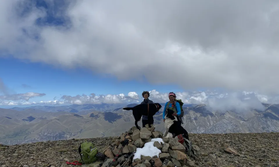
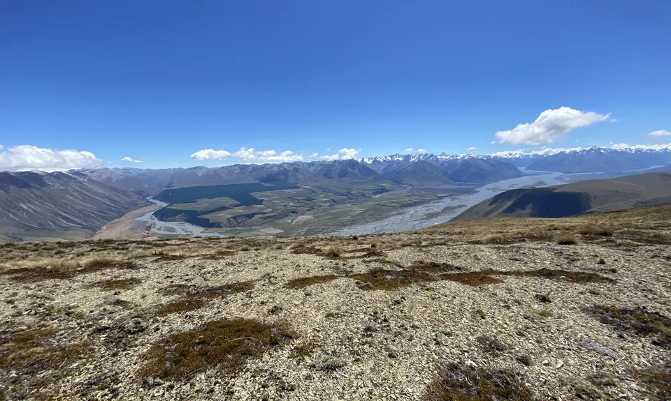
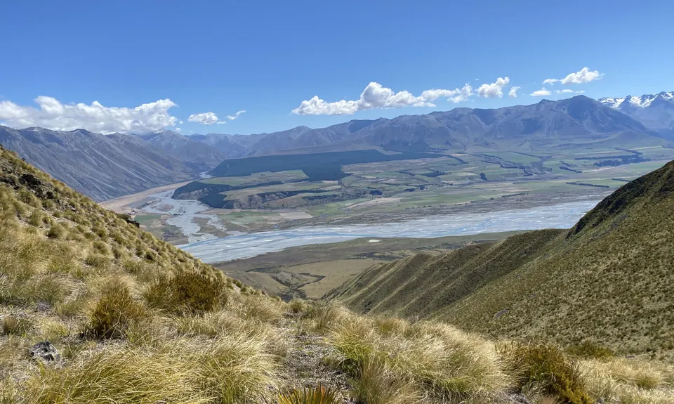
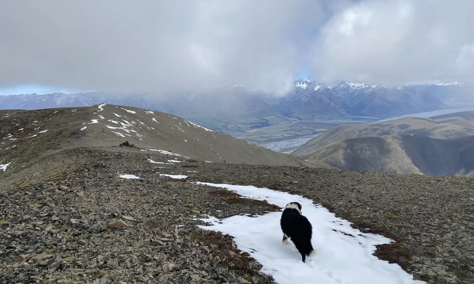
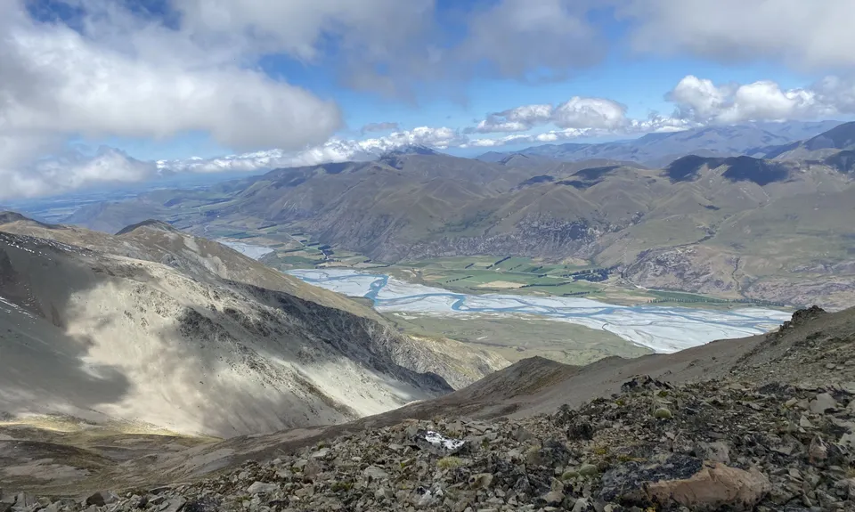
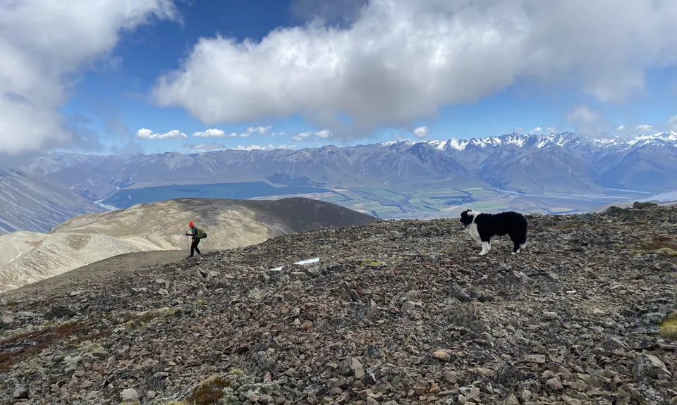
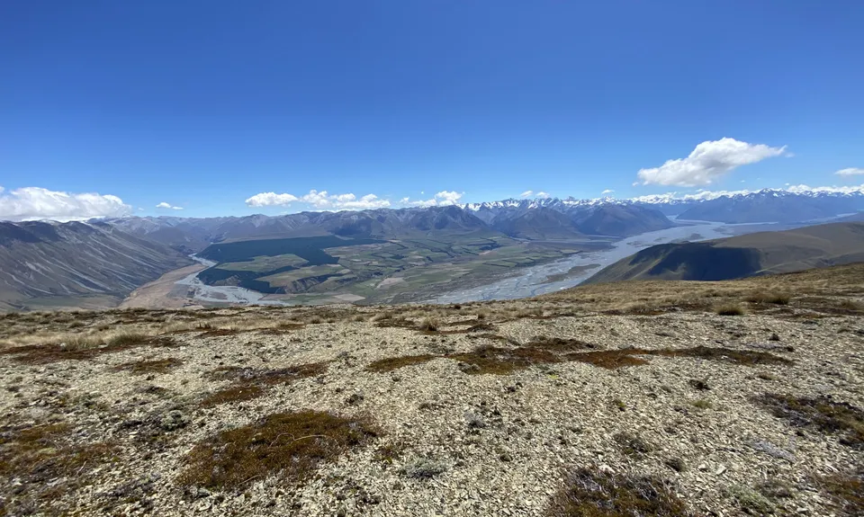
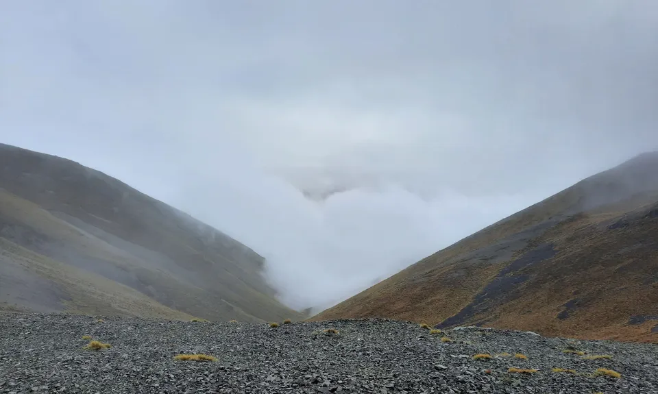
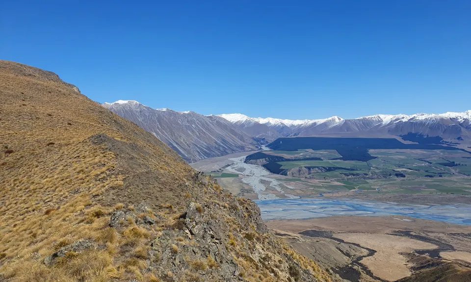
Looping Mt Harper
Last Updated: 17th May 2026
Open
Grunt Factor: 45 ?
Gnarl Factor: 71 ?
19.5km
1300m
1300m
1860m


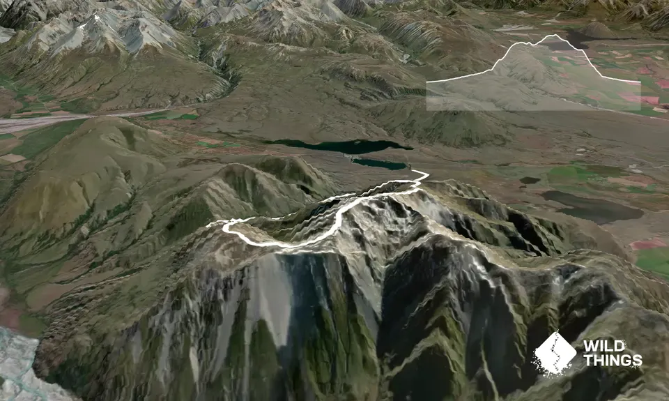
Trail Map
This Topo layer only covers NSW/ACT.
Switch to another map layer when viewing outside this area.
Switch to another map layer when viewing outside this area.


