Last Updated: 21st Sep 2023
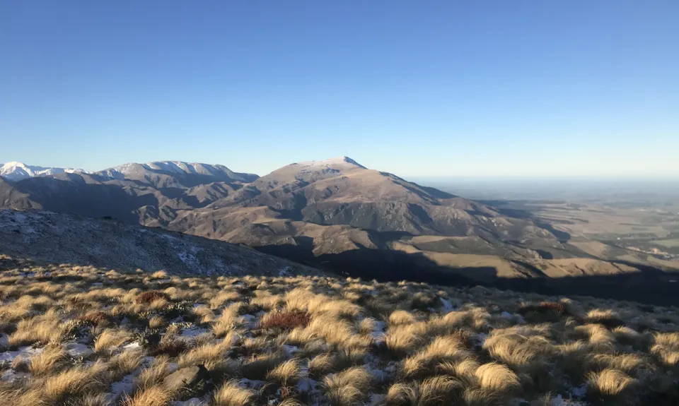
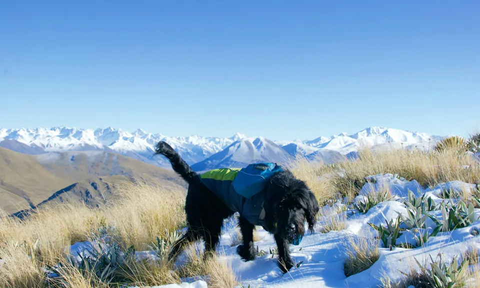
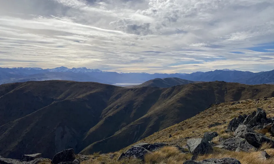
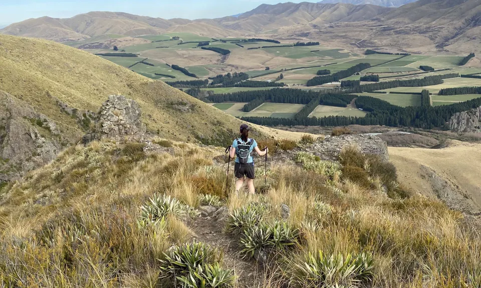
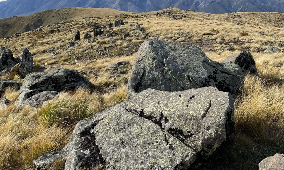
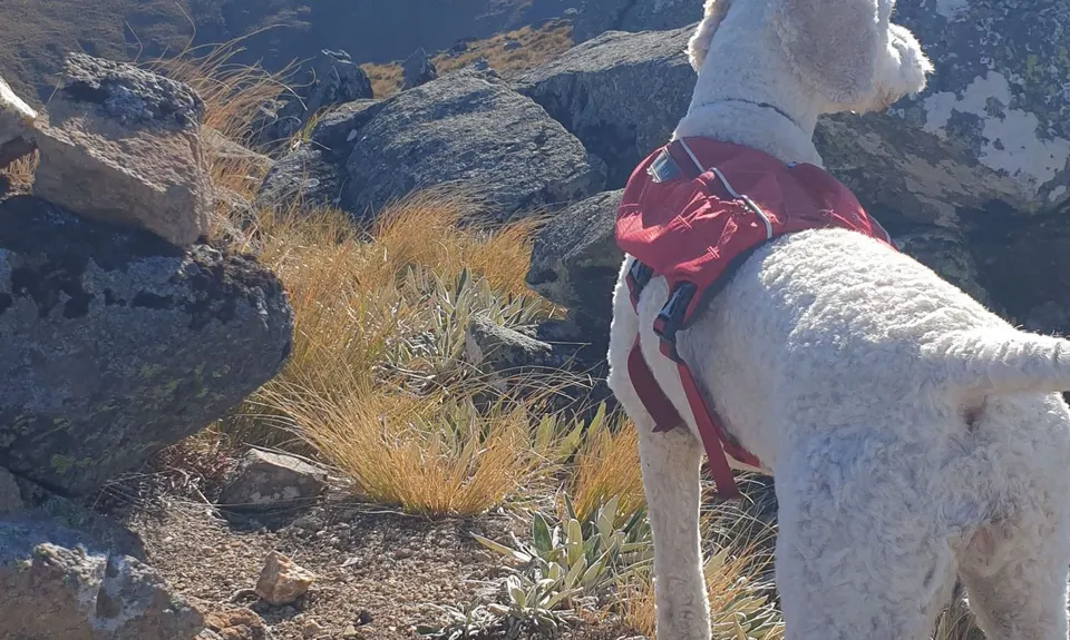
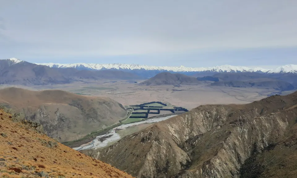
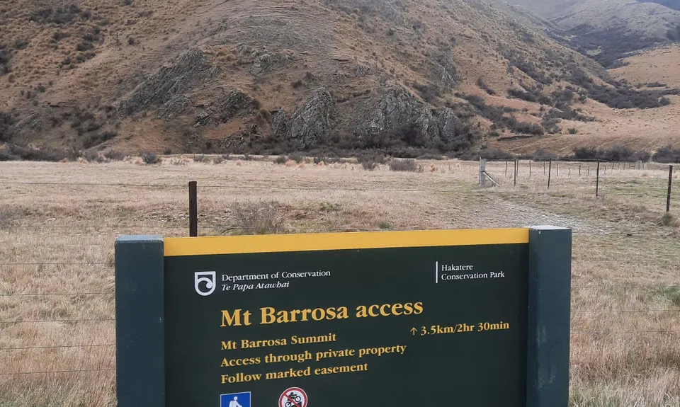
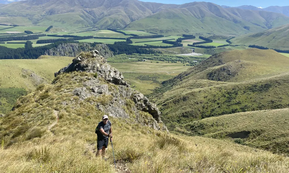
Mt Barrosa Burn
Last Updated: 21st Sep 2023
Grunt Factor: 24 ?
Gnarl Factor: 92 ?
7.0km
800m
800m
1364m
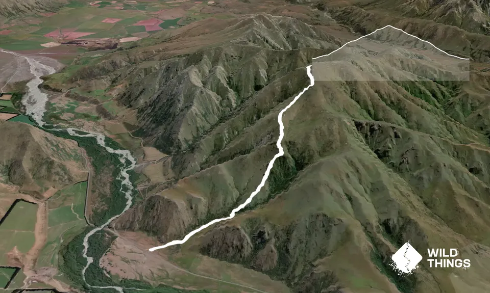
Trail Map
This Topo layer only covers NSW/ACT.
Switch to another map layer when viewing outside this area.
Switch to another map layer when viewing outside this area.


