Last Updated: 28th Jan 2026
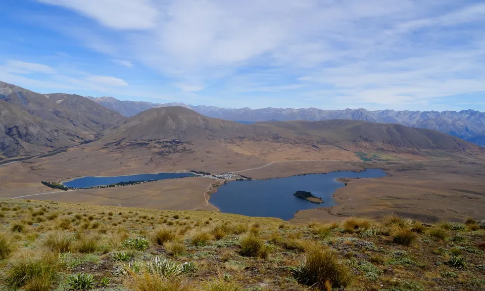
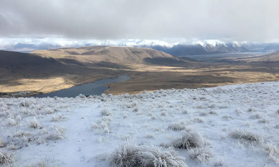
Mt Guy
Last Updated: 28th Jan 2026
Open
Grunt Factor: 29 ?
Gnarl Factor: 62 ?
9.6km
670m
670m
1319m
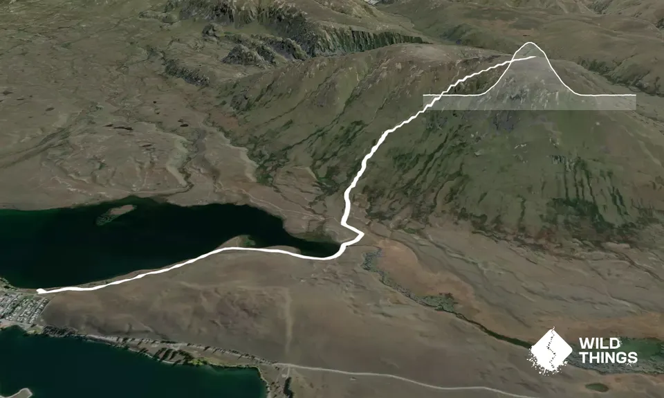
Trail Map
This Topo layer only covers NSW/ACT.
Switch to another map layer when viewing outside this area.
Switch to another map layer when viewing outside this area.


