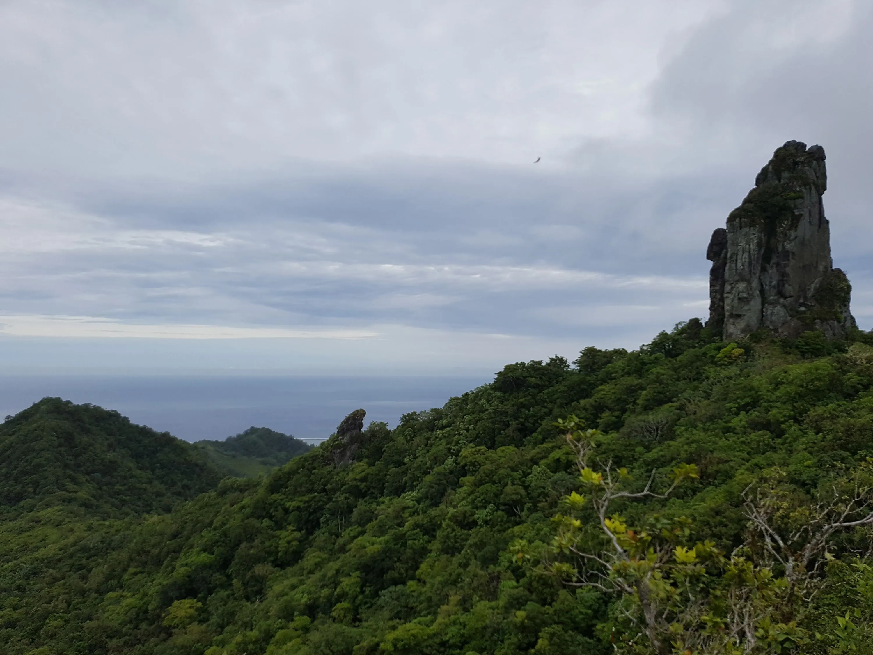
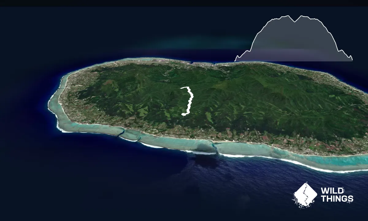
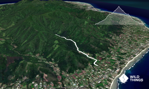
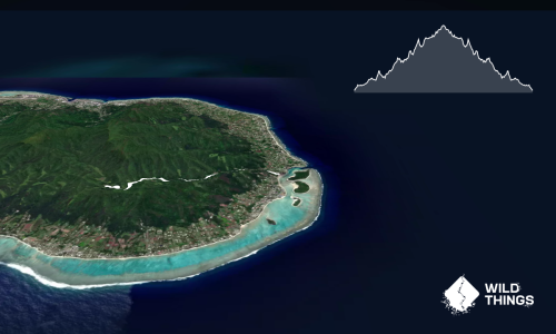
This out-and-back variation of Rarotonga’s classic Cross Island Track starts and finishes at Wigmore’s Waterfall (Papua Falls) on the southern side of the island. It reaches Te Rua Manga — also known as The Needle — before retracing the same route back south. It’s a handy alternative to the traditional north-to-south crossing, particularly for anyone with their own transport who would rather finish where they started.
From Wigmore’s Waterfall, you'll find the track on the left/western side of the waterfall carpark - and you start climbing immediately. The track will then follow the stream (crossing it a few times), before the gradient increases considerably. Ropes assist on some of the steeper ground. After rain this section can become extremely slippery.
You'ved reached the main ridge junction when you see a map and sign board. From this junction, take the track off to the left (west) to the base of The Needle.
Climbing the rocky pinnacle itself is not part of this route but there is a section of the rock you can climb if you want, using chains and ropes, with a short exposed section. Only do so if confident and experienced, and note it can be slippery when wet, and it's generally harder coming back down than going up!
Return to the ridge junction and retrace your steps downstream to Wigmore’s Waterfall and the starting point.
You can drive up to Wigmore’s Waterfall, but be prepared to pay a 'donation' of around $5 to use the road. Alternatively you can park on the main road near the abandoned hotel, and run up to the start.
No
Moderate.
There is only one track - it's technical, hilly and can be very slippery, but it's well used so easy to follow. Saying that, take care at the river crossings to find the trail on the other side. If you are not on a well formed trail, you've lost the route.
You follow a river for a while, but it's quality is unknown so either take a filter, or plenty of your own clean water.
The tropical climate can make this route hot and humid even when the distance looks modest. Carry plenty of water, wear footwear with good grip and allow extra time following rain.
The information provided is a guide only. Conditions, access and hazards can change, so use your own judgement and check current local information before heading out. Make sure the route or location is suitable for your experience, fitness and equipment, and check any access restrictions or permissions that may apply.
Do you have a suggestion on where to go afterwards for the best coffee / cake / breakfast / brunch / beer?
These overlap with this trail to some degree. You may wish to combine them but please note that to qualify for FKTs on these runs you should record a separate activity for each.
We don't store or share your location; it's only used for these features. You can continue without it, just without distance sorting and live map features.
Send to your phone
Scan the below QR code to open this page on your phone.
Tip: position the QR code in your phone camera screen.