Last Updated: 15th Sep 2026

Beginner

Save Trail Save

I've done it Done

Avana Pass

Submitted by Alex Gilbert

Last Updated: 15th Sep 2026

Beginner

Save Trail Save

I've done it Done

Open

Grunt Factor: 7 ?

Gnarl Factor: 3 ?

8.0km

115m

115m


Become a VIP to see driving directions, distance and time.

Trail Map

This Topo layer only covers NSW/ACT.
Switch to another map layer when viewing outside this area.

Type of Run

Urban fringe

Out and Back

Undulating, small hills only

Dog Friendly

Plantation/exotic forest

Run Makeup

100%

Farm Road / 4WD Track

Average Uphill Gradient: +2.80%

Average Downhill Gradient: -2.80%

Garmin Course

VIP Feature: Send this route to your Garmin account so you can follow the course on your Garmin device.

Send to Garmin

Learn about sending to Garmin.

Trailhead

Become a VIP Member to see the trailhead information.

Estimated Times to Run

1:00

Slow

00:45

Moderate

00:35

Fast

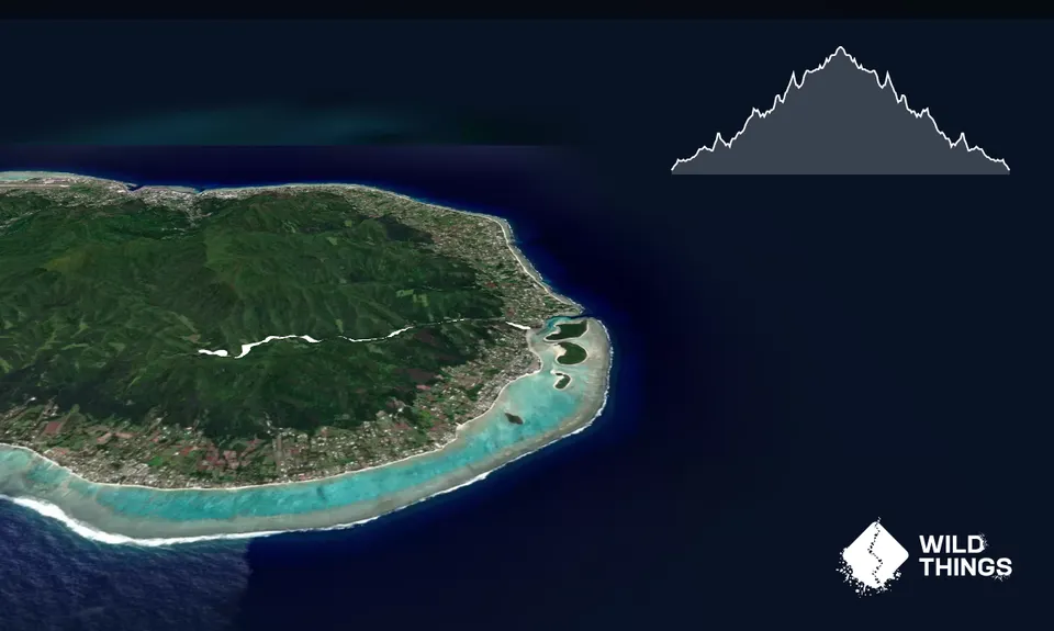
An easy 4km run up the Avana Valley, this route has you running an inland track (stick to the road the whole way up) which starts at the main road and ends at the water intake.

For the first couple of km's, you will be passing locals living as locals do - please respect their privacy and stick to the road/track.  You will see lots of plantations, animals and experience the sights and smells of Rarotonga, away from the beaches and resorts.

The last few km's up to the water intake has a steady but easy climb and is on a less used track. There are several shallow stream crossings - it's easier to go straight through than risk jumping and slipping.

Once at the top, you can't go much further as it is overgrown, so enjoy the gentle downhill return and run back to Muri for a cold drink, ice cream, or a swim in the lagoon.

This track could easily be done with a pram if you're needing a shaded outing with the little ones.

Tropical setting.

If you know of any public toilets near the trail start or on the route, please login and then let us know so we can update this section.

Yes

Easy.

Stick to the road.

Patchy.

Cellphone, Map

Bring your own.

The information provided is a guide only. Conditions, access and hazards can change, so use your own judgement and check current local information before heading out. Make sure the route or location is suitable for your experience, fitness and equipment, and check any access restrictions or permissions that may apply.

Do you have a suggestion on where to go afterwards for the best coffee / cake / breakfast / brunch / beer?

You and Avana Pass

As a VIP member you can record private notes for this trail, see all of your times and more.

Become a Member

Already have an account? Login now

Trail Reviews

Be the first to submit a review for Avana Pass!

Login to submit a review

Trail Running Community

Find people who are interested in or have completed this trail run.

You must register or login to view this feature.

Register Now

Other trails nearby
The Needle from Wigmore’s Waterfall

The Needle from Wigmore’s Waterfall

Length: 5.1km

Level: Beginner - Intermediate

Distance Away: 6.1km

Across Island Trail

Across Island Trail

Length: 7.5km

Level: Beginner - Intermediate

Distance Away: 7.4km

Raemaru Mountain

Raemaru Mountain

Length: 3.5km

Level: Intermediate

Distance Away: 9.6km

Mt Hikurangi - Sacred Mountain

Mt Hikurangi - Sacred Mountain

Length: 24.0km

Level: Experienced

Distance Away: 2,817.3km

Find more trails and peaks nearby

Wild Things
Wild Things
Explore more

Plan smarter, stay motivated, track your progress, and unlock the full Wild Things experience — while saving along the way.