Last Updated: 10th Sep 2026

Intermediate

Save Trail Save

I've done it Done

Raemaru Mountain

One liner: Short, sharp ridgeline climb with a steep rocky scramble to the summit.

Raemaru track

Submitted by Rob Bathgate

Last Updated: 10th Sep 2026

Intermediate

Save Trail Save

I've done it Done

Open

Grunt Factor: 13 ?

Gnarl Factor: 95 ?

3.5km

395m

395m


Become a VIP to see driving directions, distance and time.

Trail Map

This Topo layer only covers NSW/ACT.
Switch to another map layer when viewing outside this area.

Type of Run

Front country - easily accessible

Out and Back

Undulating, some big hills

Native bush

Open ridges/tops

Run Makeup

100%

Technical Single Track

Average Uphill Gradient: +22.50%

Average Downhill Gradient: -22.50%

Garmin Course

VIP Feature: Send this route to your Garmin account so you can follow the course on your Garmin device.

Send to Garmin

Learn about sending to Garmin.

Trailhead

Become a VIP Member to see the trailhead information.

Estimated Times to Run

1:30

Slow

1:00

Moderate

0:40

Fast

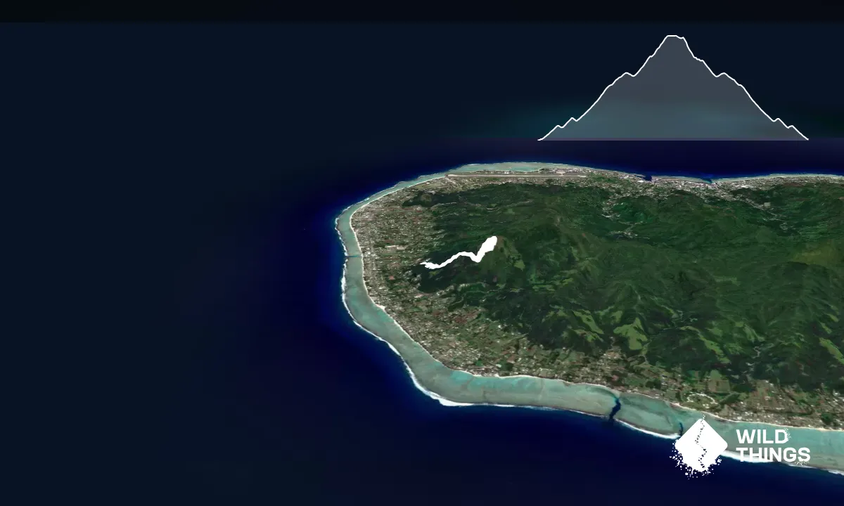
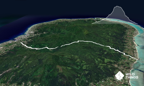
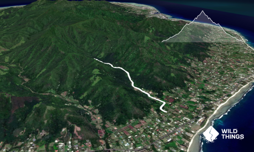
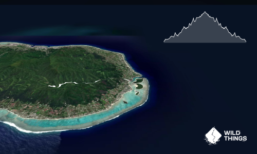
This is a short out-and-back, climbing to the flat top of Raemaru Mountain in Rarotonga, Cook Islands.

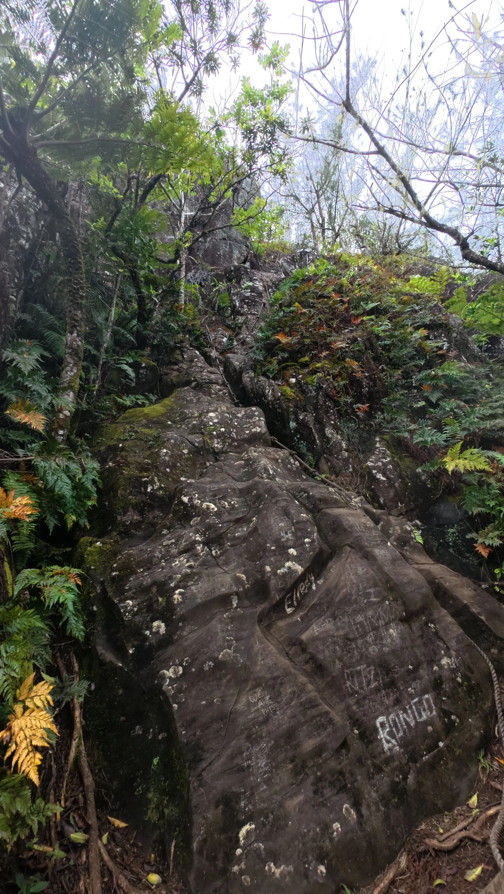
The track climbs from the start, following the ridgeline through the bush and fern undergrowth which, depending on the season, can be full of butterflies — literally hundreds of them.

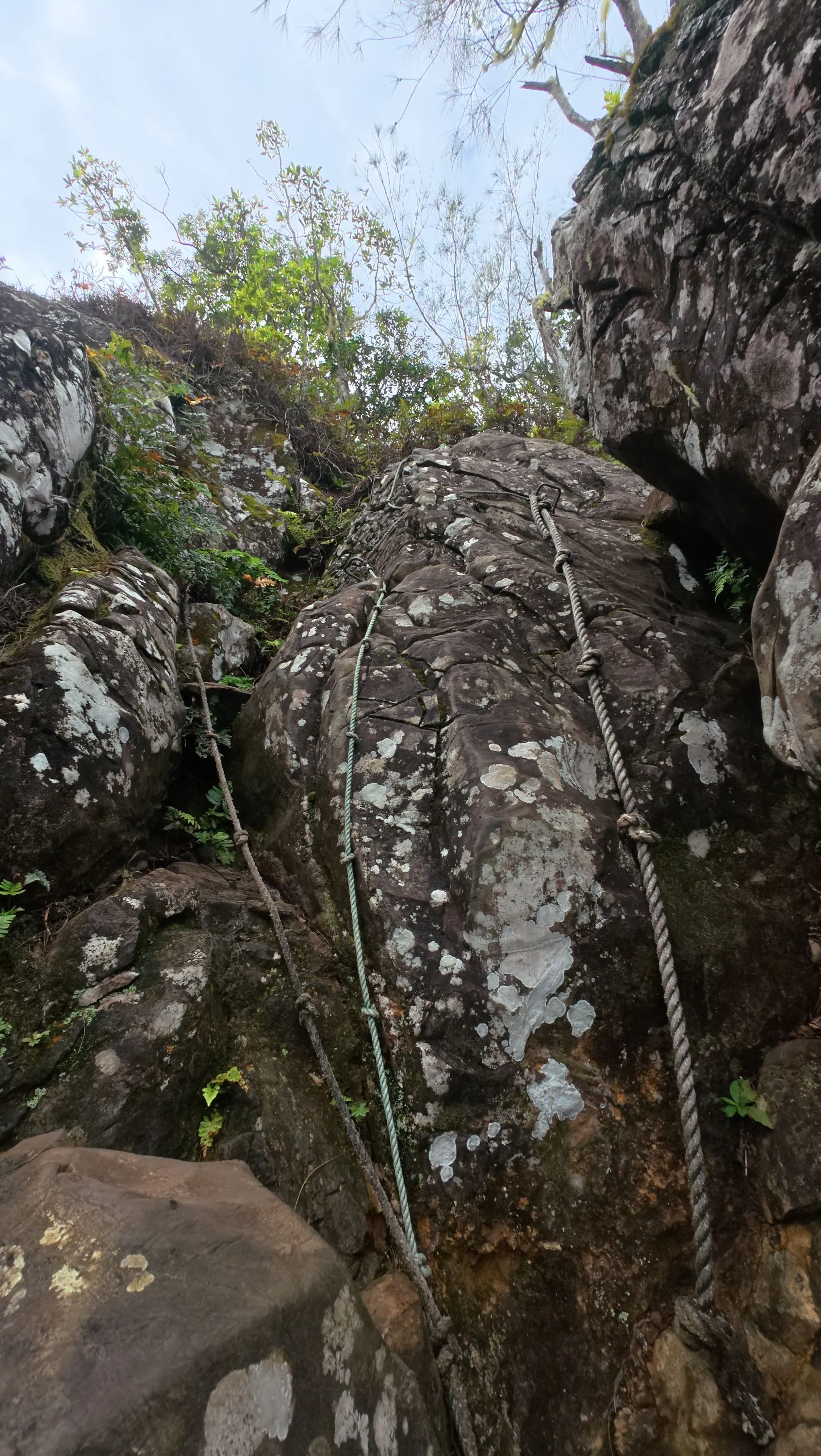
After about 1.3km you'll reach the bottom of the rockface scramble. Fixed ropes and steel steps (via ferrata) are in place to help with the climb. It isn't too tricky, but is approximately 15m high and would be much harder in wet conditions, so only tackle it if you're confident and experienced. Generally, the climb back down is the harder part.

At the top, the mountain is fairly flat, with a few worn trails through the undergrowth. Follow these 'up' to get a good view out the other side, then retrace your steps back down the rockface, along the ridgeline trail and back to the car park.

This trail includes the peak Raemaru Mountain.

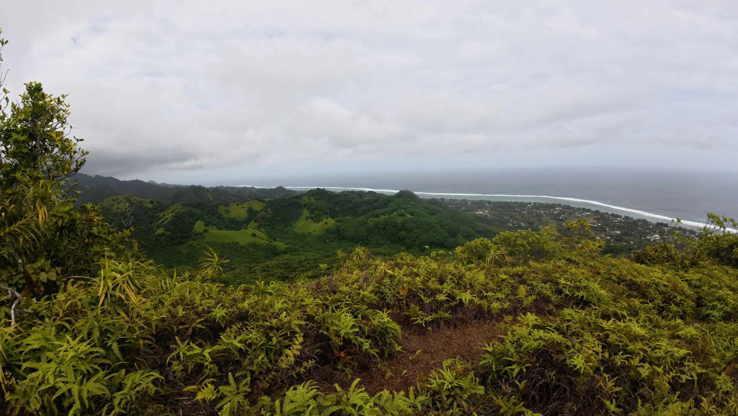
Epic views across the island from the summit.

None

Grassy clearing at road end.

No

Easy.

There is only one route and well used.

Patchy.

First aid kit, Cellphone, Map

None, and it can get hot so take plenty!

Likely very slippery when wet, both the ridgeline up and the rockface scramble.

Take care on the rockface climb and only climb if confident and experienced.

The information provided is a guide only. Conditions, access and hazards can change, so use your own judgement and check current local information before heading out. Make sure the route or location is suitable for your experience, fitness and equipment, and check any access restrictions or permissions that may apply.

Do you have a suggestion on where to go afterwards for the best coffee / cake / breakfast / brunch / beer?

Trail Legend

Rob Bathgate

Rob Bathgate

has completed Raemaru Mountain once in the last year.

Login as a VIP to become a Trail Legend. Learn about Trail Legends.

You and Raemaru Mountain

As a VIP member you can record private notes for this trail, see all of your times and more.

Become a Member

Already have an account? Login now

Trail Reviews

Be the first to submit a review for Raemaru Mountain!

Login to submit a review

Trail Running Community

Find people who are interested in or have completed this trail run.

You must register or login to view this feature.

Register Now

Other trails nearby
The Needle from Wigmore’s Waterfall

The Needle from Wigmore’s Waterfall

Length: 5.1km

Level: Beginner - Intermediate

Distance Away: 4.0km

Mt Hikurangi - Sacred Mountain

Mt Hikurangi - Sacred Mountain

Length: 24.0km

Level: Experienced

Distance Away: 2,811.7km

Cooks Cove  Walkway Return

Cooks Cove Walkway Return

Length: 5.8km

Level: Beginner

Distance Away: 2,829.2km

Te Kuri Farm walkway

Te Kuri Farm walkway

Length: 5.5km

Level: Beginner

Distance Away: 2,865.6km

Find more trails and peaks nearby

Wild Things
Wild Things
Explore more

Plan smarter, stay motivated, track your progress, and unlock the full Wild Things experience — while saving along the way.