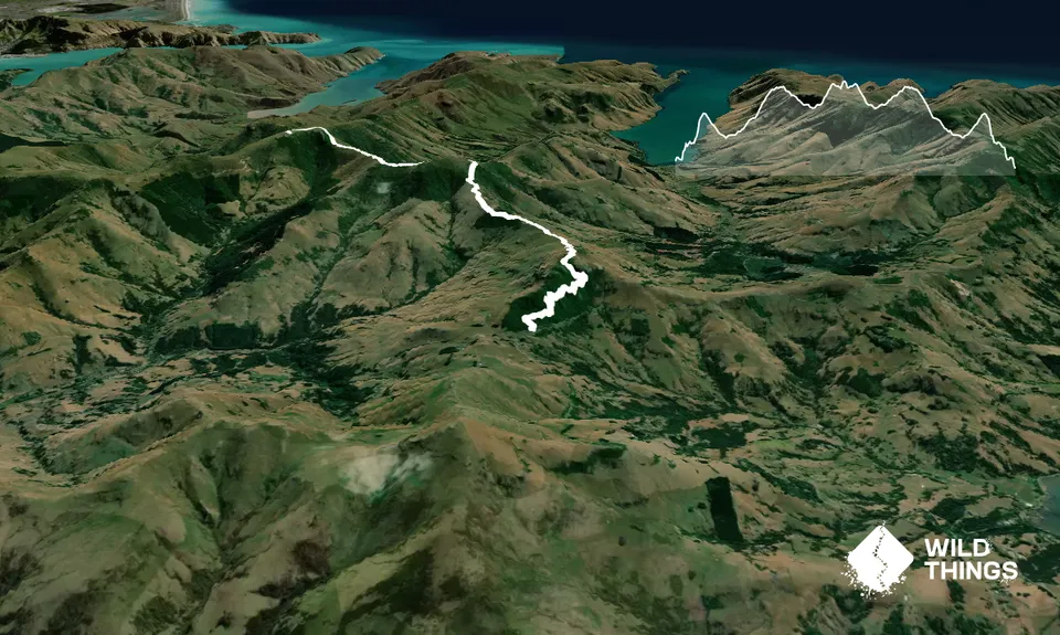
Summary: Climb up through Montgomery Park Scenic Reserve and then along the tops on a well-marked 4WD track through bush and tussock along the "Double Fenceline" track to the summits of Mt Sinclair and Mt Fitzgerald. Return via the same route.
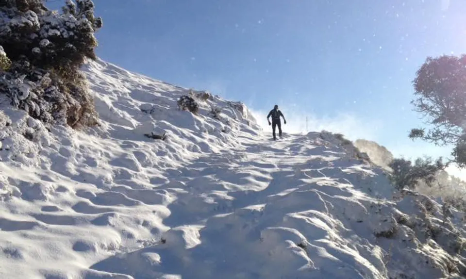
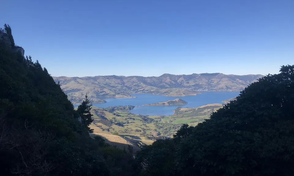
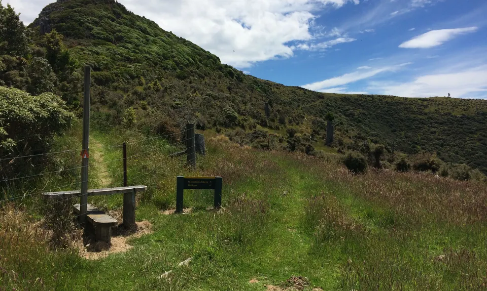
Starting at the Summit road entrance to the Montgomery Park reserve take the obvious DOC track which winds up steadily through forest and regenerating bush. There are good views of Akaroa from some sections of the well-worn track. The track eventually turns and climbs steeply up a gap in the bluffs, over boulders which can be very wet and slippery for a day or so after rain. It quickly reaches open tussock tops and an obvious 'Track' sign where you turn right to climb onto 'Rocky Peak' on a short piece of single track about 250 metres from initially reaching the tussock top.
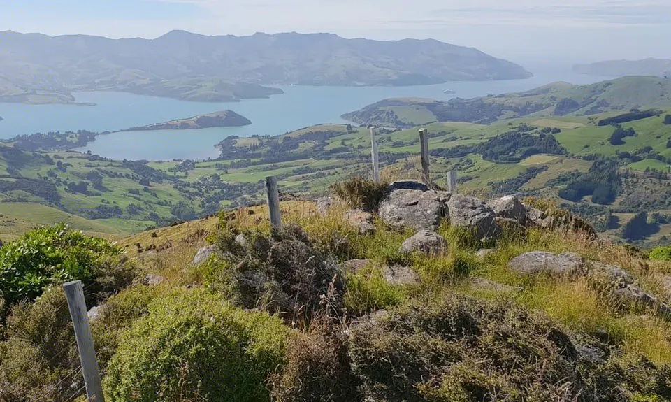
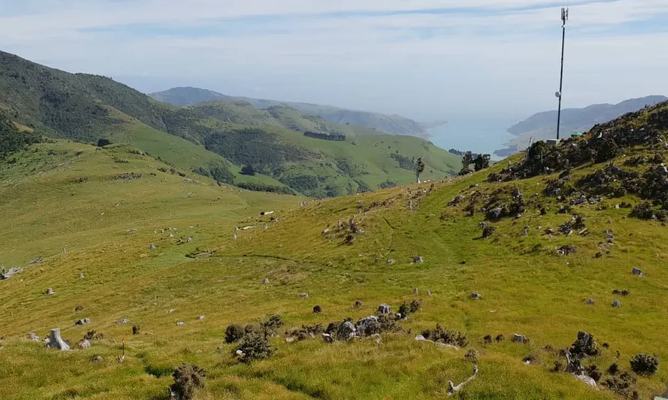
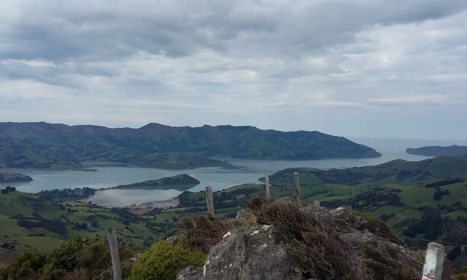
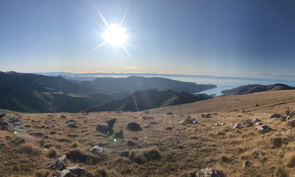
From Rocky Peak drop down onto the obvious and well-marked (and poled) 4WD track and traverse across the tops passing through the Whatarangi and Mt Sinclair scenic reserves always following the 4WD track. (Note: a slight detour of the track is needed to reach the summit of Mt Sinclair at 844M - turn off main track at the highpoint on obvious track. Return back to 4WD track the same way).
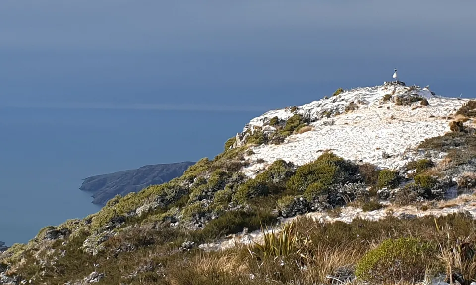
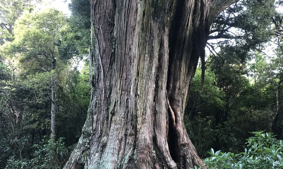
Continuing NW along the 4WD track from Mt Sinclair eventually bring you to a saddle just before Mt Fitzgerald where a stile and choice of route soon presents itself. Either follow the poled route which traverses to the right of the obvious summit up steady a 4WD track - or be slightly more adventurous and take the more challenging direct route through the bush by climbing over the stile and follow the trail through the ancient bush where there are forest remnants of kahikatea, matai, and tÅtara.
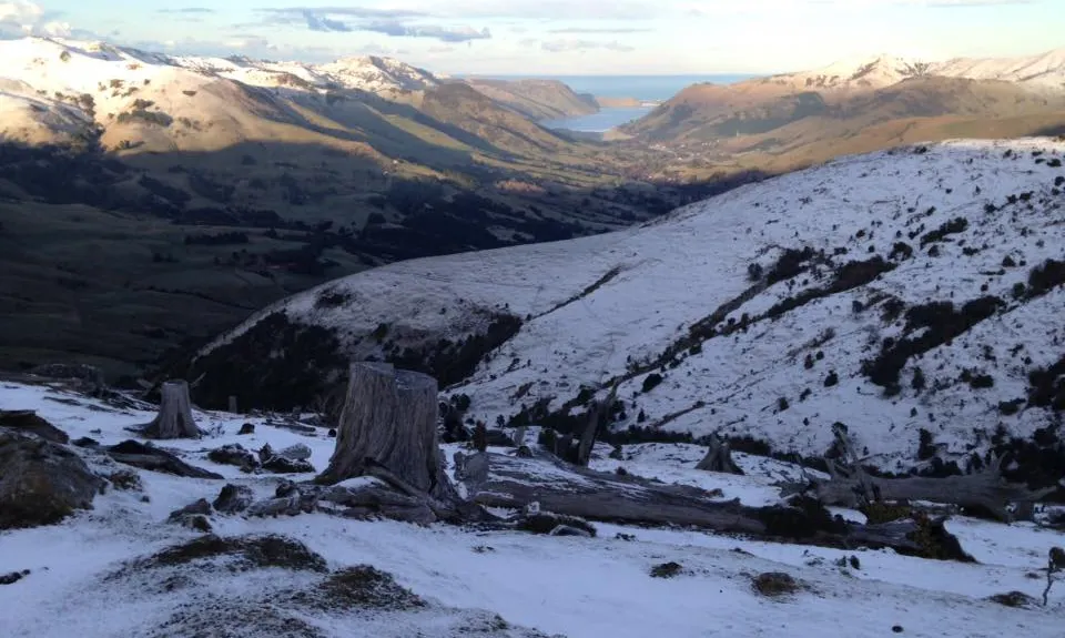
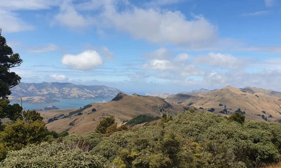
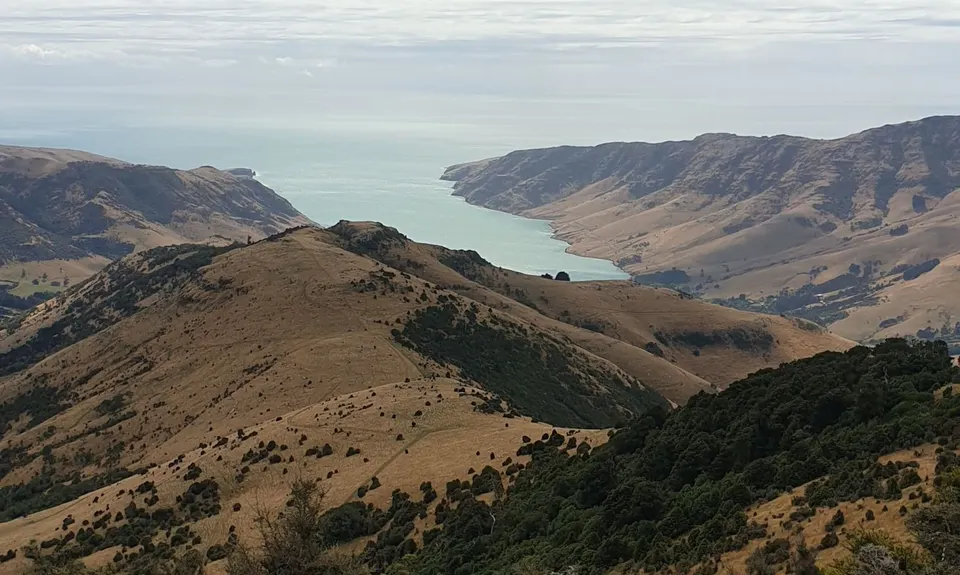
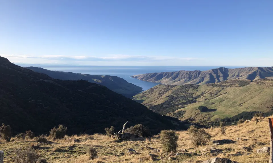
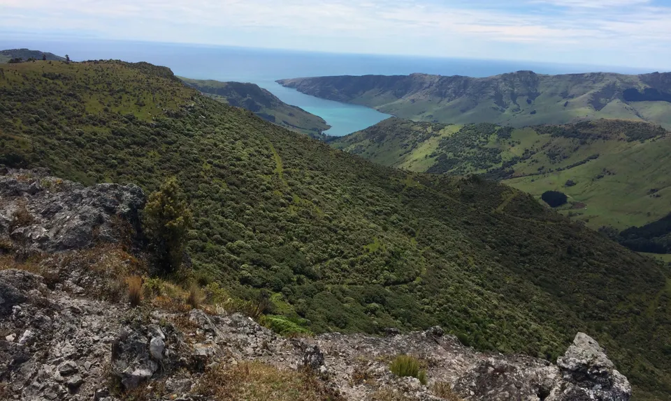
Both routes lead to the summit eventually, where the views are grand in all directions.
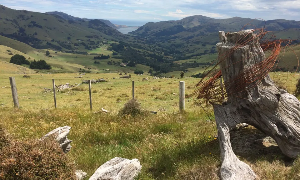
Return via the same route back down to the start or you could continue onwards to Mt Herbert along the 'Te Ara PÄtaka Trail' to extend your options for a longer run along the tops. (Not described here).
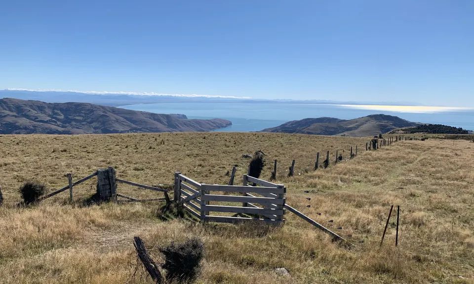
Finally note that most of the 4WD track is in open country and is very exposed with very little water along the way - so take enough to last the run and be prepared for bad weather at any time of the year.