Last Updated: 21st Sep 2023
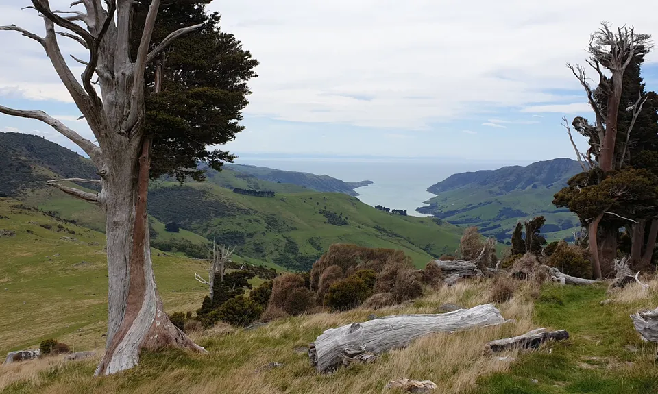
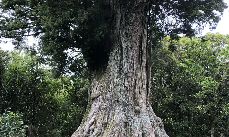
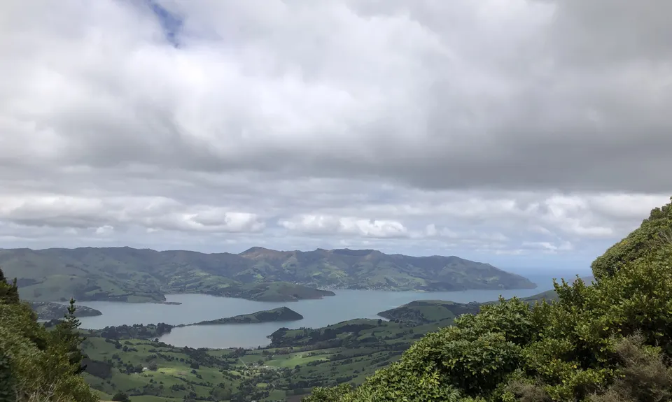
Montgomery Park Reserve
Last Updated: 21st Sep 2023
Open
Grunt Factor: 18 ?
Gnarl Factor: 24 ?
12.0km
630m
630m
800m
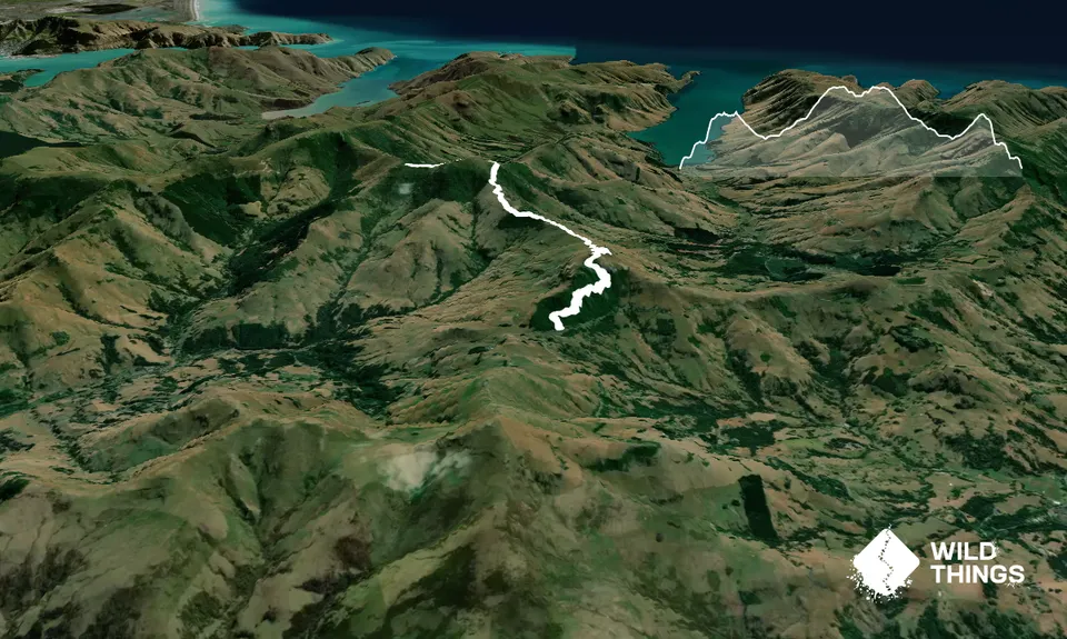
Trail Map
This Topo layer only covers NSW/ACT.
Switch to another map layer when viewing outside this area.
Switch to another map layer when viewing outside this area.


