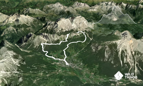
Last Updated: 2nd Oct 2026

Beginner - Intermediate

Save Trail Save

I've done it Done

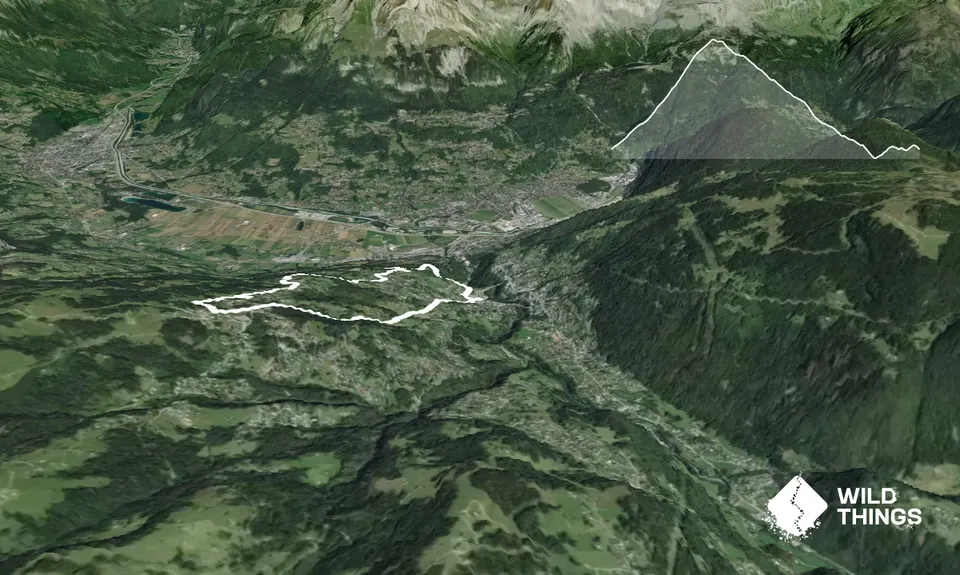
St Gervais - Bettex - St Gervais

Steep grassy trail up to the Bettex Gondola Station, and a flowy off-road trail back to St Gervais

Submitted by Paul Voorend

Last Updated: 2nd Oct 2026

Beginner - Intermediate

Save Trail Save

I've done it Done

Open

Grunt Factor: 17 ?

Gnarl Factor: 45 ?

7.9km

640m

640m
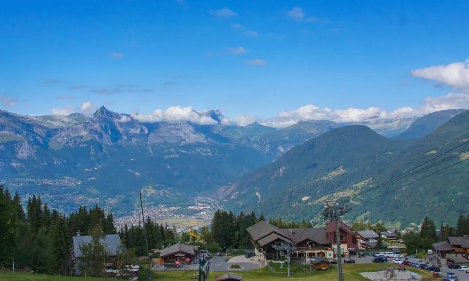


Become a VIP to see driving directions, distance and time.

Trail Map

This Topo layer only covers NSW/ACT.
Switch to another map layer when viewing outside this area.

Type of Run

Urban fringe

Loop

Very hilly

Open tussock/grasslands

Other

Run Makeup

5%
70%
25%

Sealed Road

Easy Single Track

Untracked / Route only

Average Uphill Gradient: +16.10%

Average Downhill Gradient: -16.10%

Garmin Course

VIP Feature: Send this route to your Garmin account so you can follow the course on your Garmin device.

Send to Garmin

Learn about sending to Garmin.

Trailhead

Become a VIP Member to see the trailhead information.

Estimated Times to Run

2:30

Slow

1:30

Moderate

1:00

Fast

Start from the St Gervais Gondola and head up the steps, basically following the gondola, but on the ground. There are several steel poles to follow, which is a rope-tow in the winter. There is no real trail, just follow the grass slope up the hill, using the poles & gondola as guides.

Getting to Bettex, the actual trail starts at the road, and you follow little signs which are light yellowey-green in colour and have a symbol of a person, or sometimes a bike. This indicates it's either for pedestrians, bikes, or both.

You will be following any directions for St Gervais / La Fayet as from the top, it follows the same trail down. At roughly the 6.7km mark, there is an intersection where you will follow the sign to St Gervais, which is to the right. if you go left, you'll end up going further down the hill towards La Fayet.

You'll eventually end up back in the St Gervais township

None available at the start, but there is at the Bettex Gondola Station, in the restaurant

There is parking available at the Gondola.

Unknown

Moderate.

Keep on the lookout for the signs indicating for pedestrians / bikes and also arrow signs indicating the direction.

Perfect throughout.

Short-sleeved thermal top, Windproof jacket, First aid kit, Cellphone

None but there is a restaurant / cafe at Bettex.

Can only be done in the summer, as it's covered in snow during winter.

The information provided is a guide only. Conditions, access and hazards can change, so use your own judgement and check current local information before heading out. Make sure the route or location is suitable for your experience, fitness and equipment, and check any access restrictions or permissions that may apply.

Max Burry
VPQ5+HP Saint-Gervais-les-Bains, France
Best value pastries in the city, beautiful flan

Do you have another suggestion on where to go afterwards for the best coffee / cake / breakfast / brunch / beer?

You and St Gervais - Bettex - St Gervais

As a VIP member you can record private notes for this trail, see all of your times and more.

Become a Member

Already have an account? Login now

Trail Reviews

Be the first to submit a review for St Gervais - Bettex - St Gervais!

Login to submit a review

Trail Running Community

Find people who are interested in or have completed this trail run.

You must register or login to view this feature.

Register Now

Overlapping Trails

These overlap with this trail to some degree. You may wish to combine them but please note that to qualify for FKTs on these runs you should record a separate activity for each.

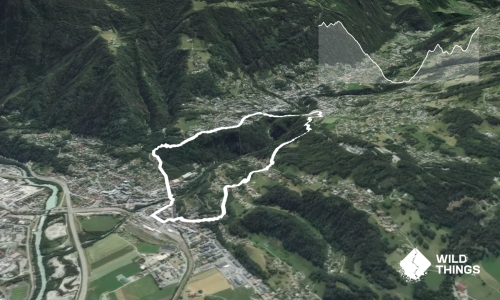
St Gervais - La Fayet - St Gervais

St Gervais - La Fayet - St Gervais

Length: 5.0km

Level: Beginner - Intermediate

Other trails nearby
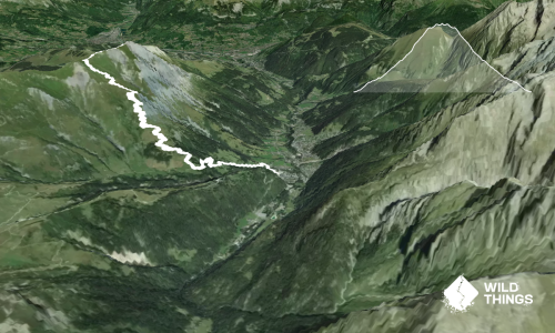
Mont Joly

Mont Joly

Length: 15.6km

Level: Intermediate

Distance Away: 8.8km

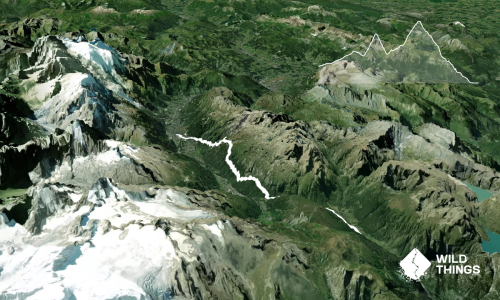
UTMB last dance: Vallorcine > Chamonix

UTMB last dance: Vallorcine > Chamonix

Length: 19.2km

Level: Beginner - Intermediate

Distance Away: 23.5km

Cortina d'Ampezzo Run in the Sky

Cortina d'Ampezzo Run in the Sky

Length: 18.9km

Level: Intermediate - Experienced

Distance Away: 423.8km

Cheddar Gorge Rind & Grind

Cheddar Gorge Rind & Grind

Length: 5.5km

Level: Beginner

Distance Away: 917.1km

Find more trails and peaks nearby

Wild Things
Wild Things
Explore more

Plan smarter, stay motivated, track your progress, and unlock the full Wild Things experience — while saving along the way.