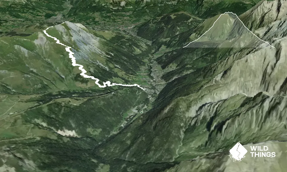
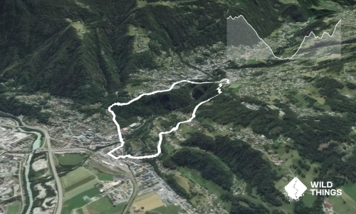
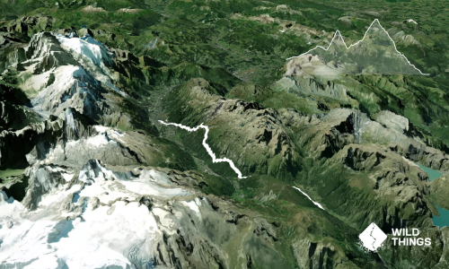
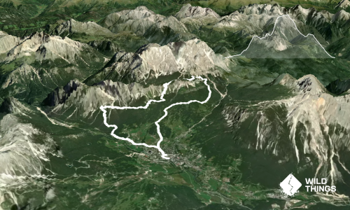
From the bottom of Montjoie gondola lift, take the small road up behind the building. This soon comes out onto Chemin du Baptieux. Shortly, take a left onto Chemin de Colombaz and follow it until the first switchback/corner, where a small trail departs from the road ahead of you (on your left if turning and looking uphill). This foot-worn trail cuts up through a paddock and small wooded section, cutting out several road switchbacks, before coming back out onto Chemin de Colombaz. Turn left to continue uphill until you reach Auberge de Colombaz, a small restaurant. Here, turn right onto a dirt road to head straight up the hill. Soon the road becomes a trail.
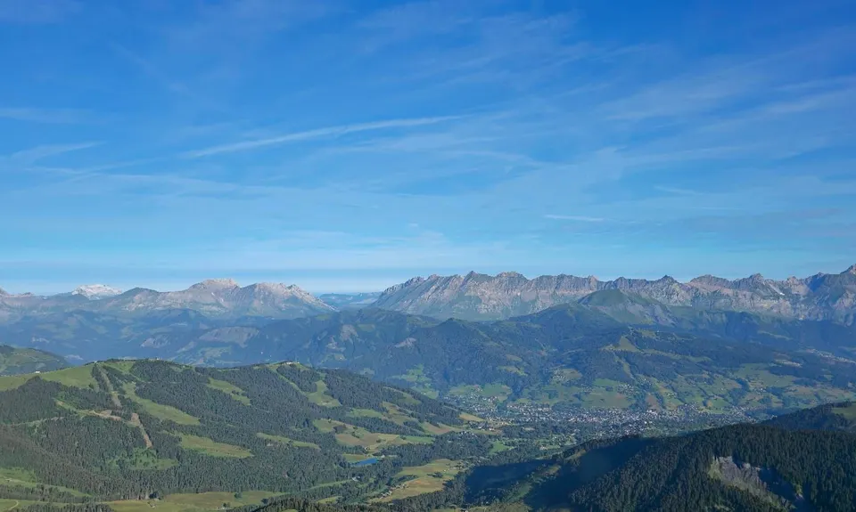
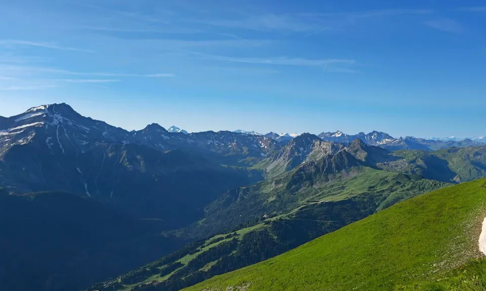
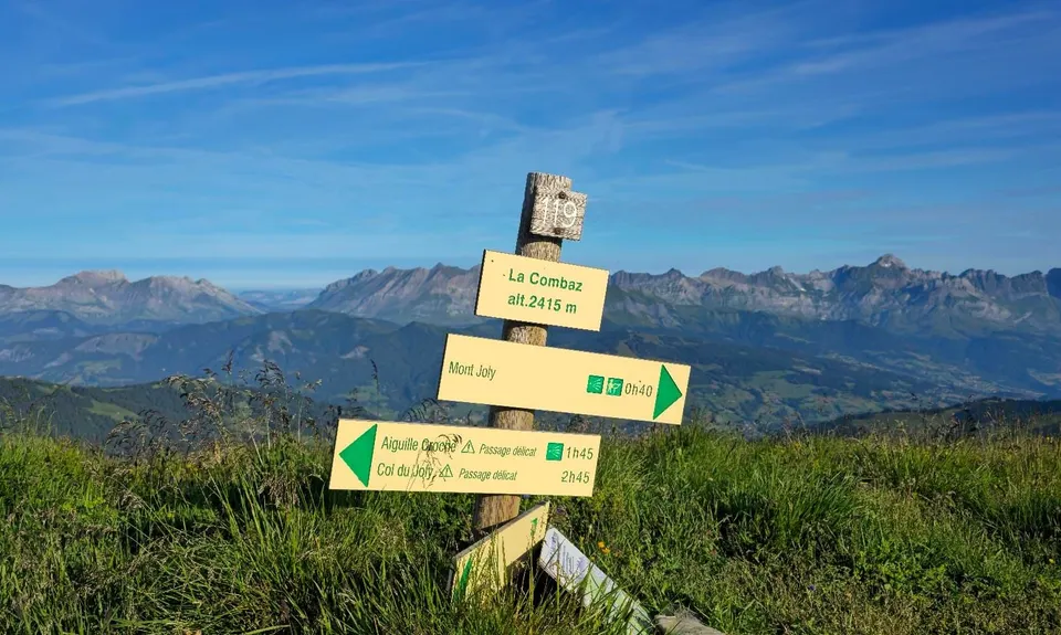
Head uphill on this trail, don't take any left or right turns onto trails that are running parallel, staying on the uphill trail as it climbs through green fields, switchbacking on the steeper parts. You'll pass a shepherd's hut on your right at around 5.8km where sometimes sheep are penned and grazing. Continue uphill until you gain the ridgeline at around 6.7km where there's a signpost marked 119, La Combaz (2415m). Here are the start of the great views you've been working so hard for, Beaufortain to the south, Aravis ranges to the west and the Fiz Range across the valley.
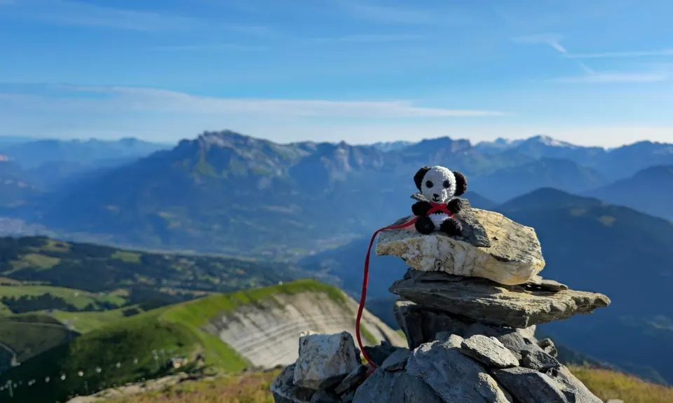
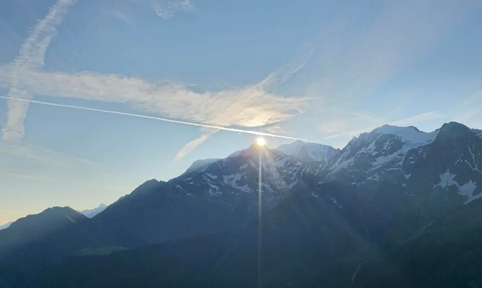
Turn right to head along the ridgeline towards Mt Joly summit (signposted with a 40min walking estimate). It's beautiful ridgeline running until the last little bit near the summit, where it gets a little more scrambly with rough stones, but nothing too challenging. On top of Mt Joly you have a perfect view of the star of the show, the Mont Blanc massif. There's also a toposcope marking out all the surrounding peaks. The views are incredible in every direction. Stay a while and enjoy it all.
On the way down the ridgeline running is even more amazing as the views open up below you. Save your legs on the long steep descent. Retrace your steps all the way back down to where you started in Les Contamines.