Last Updated: 3rd Oct 2026

Intermediate

Save Trail Save

I've done it Done

Harder Kulm

Fun little trail jaunt with views across Interlaken and beyond

Submitted by Sarah Coxon

Last Updated: 3rd Oct 2026

Intermediate

Save Trail Save

I've done it Done

Open

Grunt Factor: 17 ?

Gnarl Factor: 32 ?

10.0km

820m

830m


Become a VIP to see driving directions, distance and time.

Trail Map

This Topo layer only covers NSW/ACT.
Switch to another map layer when viewing outside this area.

Type of Run

Urban

Loop

Very hilly

Plantation/exotic forest

Run Makeup

20%
50%
30%

Sealed Road

Easy Single Track

Moderate Single Track

Average Uphill Gradient: +16.30%

Average Downhill Gradient: -16.50%

Garmin Course

VIP Feature: Send this route to your Garmin account so you can follow the course on your Garmin device.

Send to Garmin

Learn about sending to Garmin.

Trailhead

Become a VIP Member to see the trailhead information.

Estimated Times to Run

2:30

Slow

2:00

Moderate

1:20

Fast

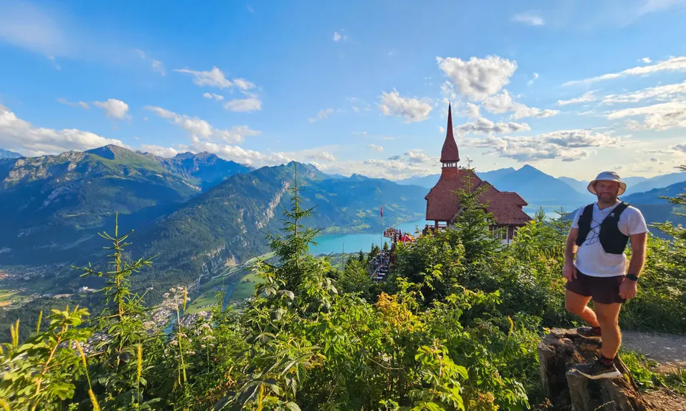
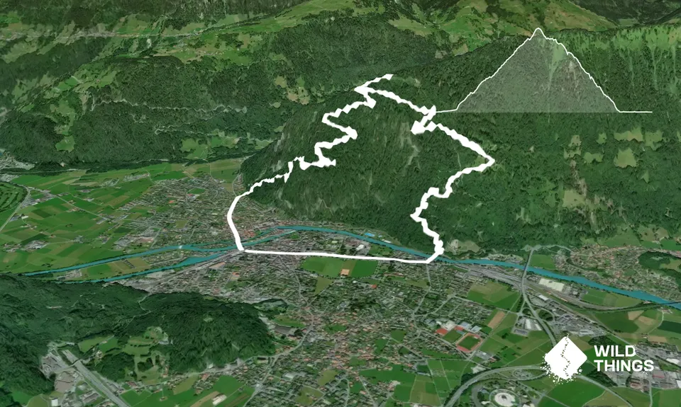
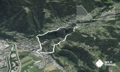
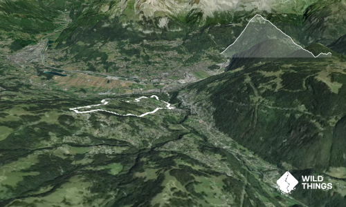
From the Interlaken West train station, head northwest across the river and along Bahnofstrasse/Scheidgasse, taking the marked trail on your right at ~1.2km. Grind upward on forested switchbacks until reaching a small, grassy clearing (4.6km). Continue north, climbing up through the trees again before emerging at the Harder Kulm Panorama Restaurant. (Note the finishing arch for the ‘Harder Run,’ more details below).

Depending on your appetite for crowds, you may wish to check out the Two Lakes Bridge, a cantilevered viewing platform with a glass floor and great views across Lake Thun, Lake Brienz and Interlaken, with Eiger, Mönch and Jungfrau beyond. There are also some cute little tree carvings behind the restaurant that warrant a quick nosy while you catch your breath (unless you’ve elected to stop for a bite and/or beverage). Beyond these, the trail carries on upwards to the Hardergrat ridgeline, though unfortunately that’s an adventure for another time.

For this little loop, drop back down through the restaurant and down to the grassy clearing. At the far edge of the clearing, pick up the trail to your left (possibly noting the green trail markers for the Jungfrau Harder Run). After the tiniest section of flat running, the descent steepens, and as you drop quickly through the trees you cross the tracks for the Harderbahn funicular several times.

At the bottom of the hill, you’ll arrive at the Harderbahn Valley Station. From here, cross the river and turn right into Höheweg, which you follow past the sports fields and back to the railway station to close the loop.

The uphill-only ‘Harder Run’ operates as both a conventional mass start race (early September) and as a fixed time trial that you can run independently over the summer months to record an official time. For the latter, the segment runs from Harderbahn Valley Station up to Harder Kulm (ie, the downhill section as described here – to time trial, you’ll need to run this route in reverse). Purchase an official timing chip online (CHF25) then redeem at the ticket counter at Harderbahn. The fee also includes luggage transport (to send warm layers to the top), a drink at the top, and a train ticket back to Interlaken. Your chip can be used to record up to 10 efforts over the season, if you’re that way inclined! Transport/drink perks are first session only.
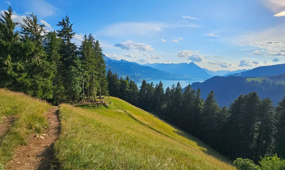
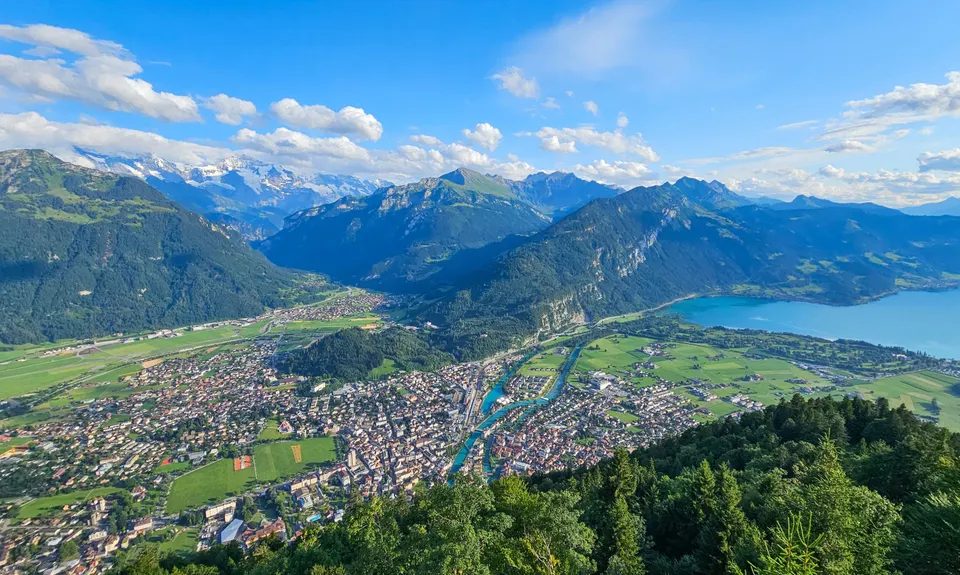
Views across Interlaken, Lake Thun, Lake Brienz , and further out to Eiger, Mönch, Jungfrau.

If you know of any public toilets near the trail start or on the route, please login and then let us know so we can update this section.

Unknown

Easy.

Generally good.

Waterproof leggings, Long-sleeved thermal top, Seam-sealed waterproof jacket, Gloves, Beanie/thermal headwear, Whistle, First aid kit, Extra food for emergencies, Cellphone, Map

Take care when crossing the Harderbahn tracks.

The information provided is a guide only. Conditions, access and hazards can change, so use your own judgement and check current local information before heading out. Make sure the route or location is suitable for your experience, fitness and equipment, and check any access restrictions or permissions that may apply.

Do you have a suggestion on where to go afterwards for the best coffee / cake / breakfast / brunch / beer?

You and Harder Kulm

As a VIP member you can record private notes for this trail, see all of your times and more.

Become a Member

Already have an account? Login now

Trail Reviews

Be the first to submit a review for Harder Kulm!

Login to submit a review

Trail Running Community

Find people who are interested in or have completed this trail run.

You must register or login to view this feature.

Register Now

Other trails nearby
UTMB last dance: Vallorcine > Chamonix

UTMB last dance: Vallorcine > Chamonix

Length: 19.2km

Level: Beginner - Intermediate

Distance Away: 101.1km

Grand Balcon Nord

Grand Balcon Nord

Length: 21.4km

Level: Intermediate

Distance Away: 113.7km

St Gervais - La Fayet - St Gervais

St Gervais - La Fayet - St Gervais

Length: 5.0km

Level: Beginner - Intermediate

Distance Away: 124.5km

St Gervais - Bettex - St Gervais

St Gervais - Bettex - St Gervais

Length: 7.9km

Level: Beginner - Intermediate

Distance Away: 124.5km

Find more trails and peaks nearby

Wild Things
Wild Things
Explore more

Plan smarter, stay motivated, track your progress, and unlock the full Wild Things experience — while saving along the way.