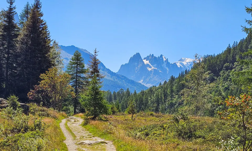
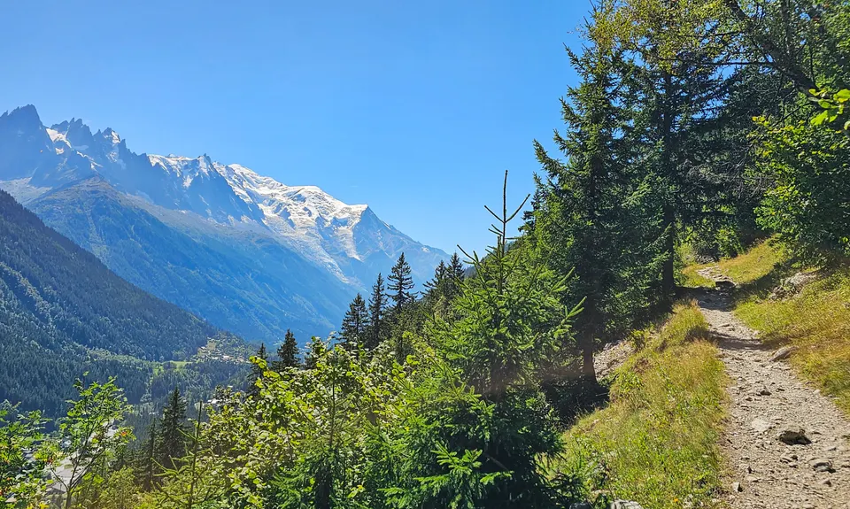
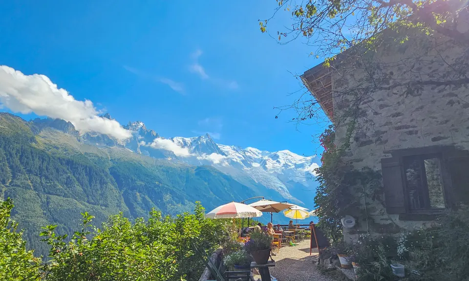
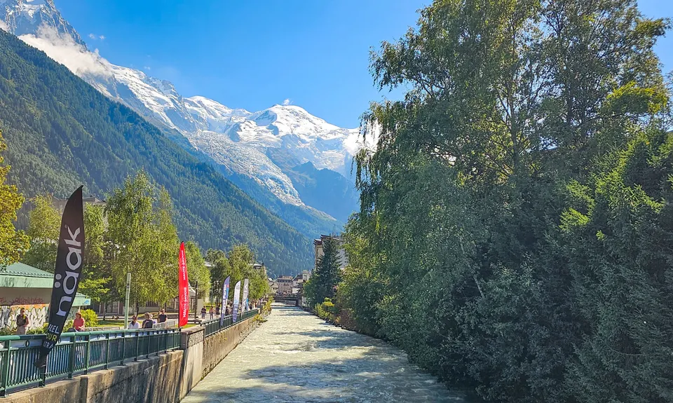
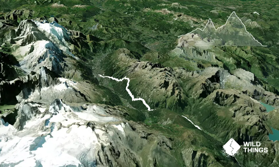
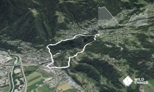
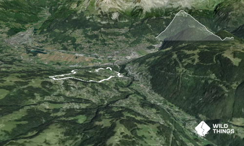
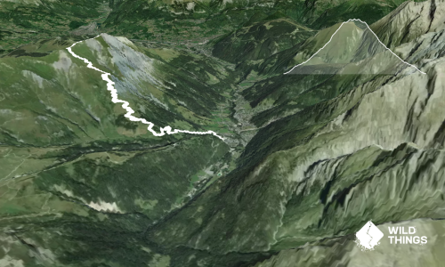
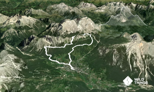
A straightforward way to recce the last not-quite-20k of UTMB, while you’re in a state to enjoy the views across the valley (or if you’re crew to empathise with your runner). Simply grab the train from Chamonix to Vallorcine and run back.
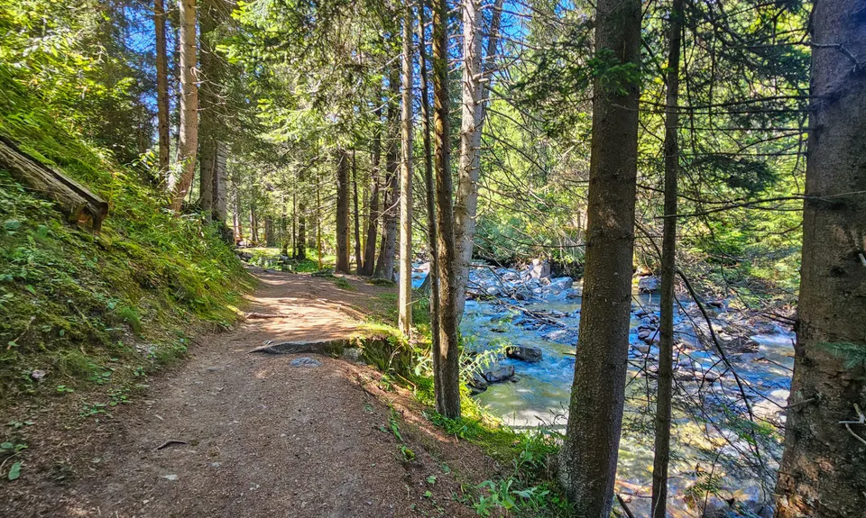
From the Vallorcine train station, pick up the trail that runs alongside the rail line then drops down to the river briefly, before climbing gently up through grassy fields and past the campground. You weave in and out of the forest before passing through a couple of carpark/trail head areas – continue straight through these, only crossing the road (with due care, of course) at Tre-le-Champ Le Haut (~4.7km, a few hundred metres over Col de Montets) and picking up the trail on the opposite side of the road.
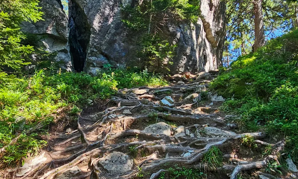
Now the climbing and technicality start to kick! At the trail junction (~6.3km), stay left/straight and start descending – you’ll need your wits about you (or a good dose of patience, or both) over this next short section as the roots/rocks/gradient make true mountain goats rejoice, and frustrate the heck out of everyone else. One can only imagine how those in their last hours of UTMB must feel coming across here! After a little over 1km, you’ll merge with the Sentier de Gardes trail. Ignore Chemin de Grand Bois as it heads up the hill, and carry on your happy sidle southeast along the valley.
After merging with a mountain bike track coming up from La Joux, stay right/uphill at the next junction (~10.2 km) until the track spits you out of the trees at the bottom of the Flégère ski area. There is one last km to grind out up a broad gravel road to reach the route’s high point at La Flégère. Grab a spot on the grassy bank and have a bite to eat, or if it’s hot, consider being extorted for a cold drink at the café.
When you’re ready to get moving again, drop down a steep gravel trail just past the café to pick up a gravel road; at the hairpin, drop off this onto another technical single track. There is some more steep descending, and you cross the road once more, before keeping your eyes peeled for the junction with La Floria track. Now you get to open up into some lovely flowy running, with the beautiful Café Floria appearing suddenly as you round one of the bends.
The trail turns into a wide gravel road as it descends towards Chamonix. Follow your nose back to town (if you’re here around the time of UTMB, bollards will guide you): cross the sealed Route des Nants, cut the switchbacks through the field ahead of you, across Route des Praz and veer slight right into a carparking area. At the footbridge, cross the L’Avre river, turning right in front of the tennis courts to follow the promenade along the river. At the road bridge, turn right then quick left, and along through the city streets to the famous finishing chute.