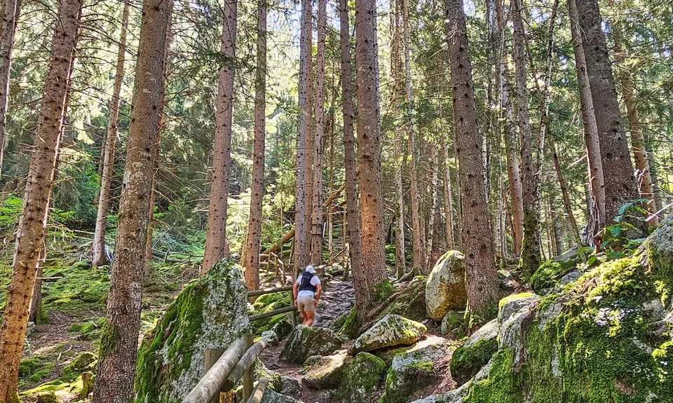
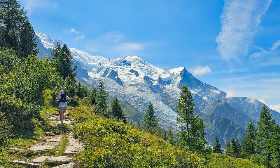
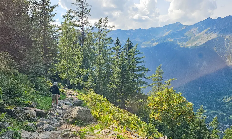
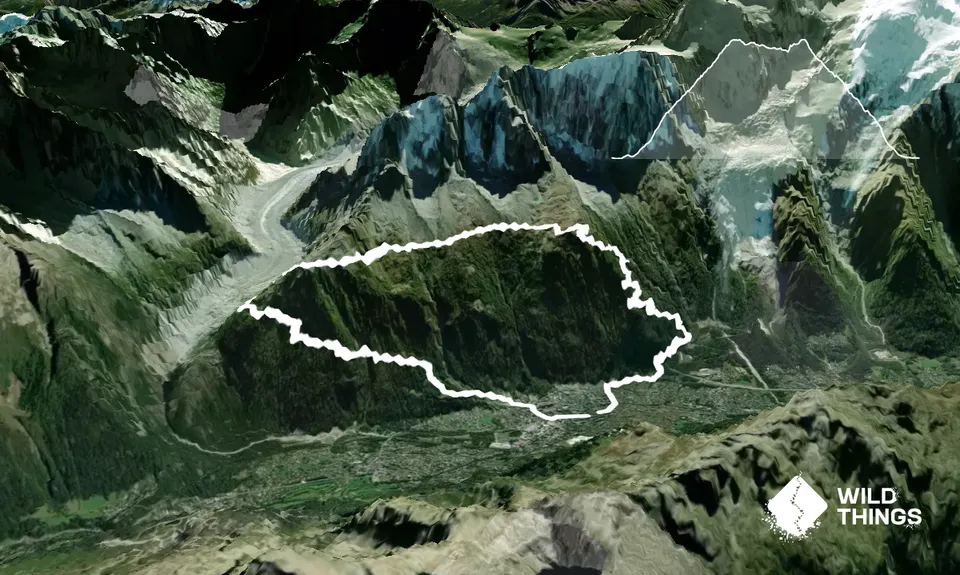
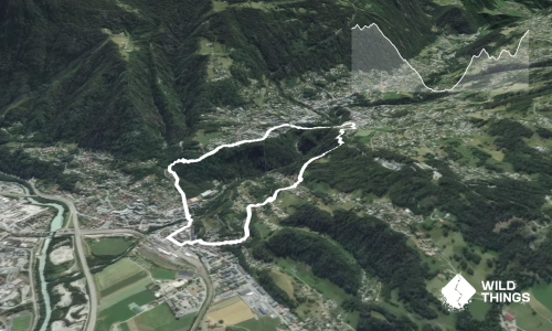
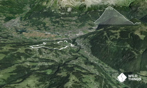
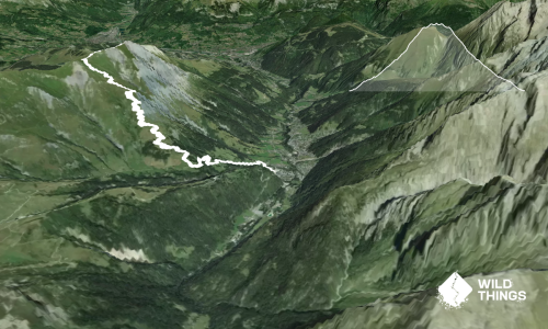
Starting from the main pedestrian shopping street (Rue de Docteur Paccard), head south to the roundabout and veer left into Av. de Courmayeur, then straight through the next two roundabouts before taking a right at the larger roundabout/cablecar parking. Pick up the small sealed track running alongside Route Blanche, and after a few hundred metres, join the trail that heads uphill on your left and follow the signs for Cascade du Dard. At the signposted junction (Cascade du Dard 1,235m), pop out for a quick view of the waterfall if you fancy (~250m return). From here, follow the trail up, up, up through the forest, before emerging from the trees to the most incredible views of the Bossons Glacier. A little further on, Refuge du Plan de L’Aiguille (~8.5k) makes a wonderful stop for coffee, cold lemonade and/or fruit tart.
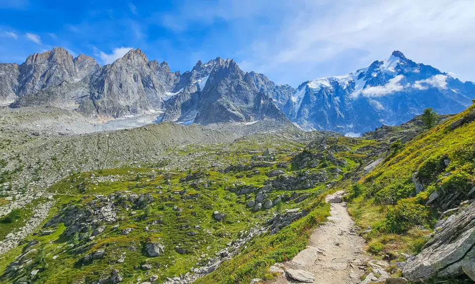
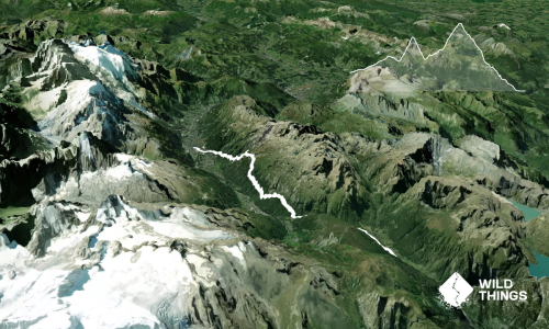
Leaving the Refuge, follow the signs for La Tapia and Montenvers, and stretch out on the majestic sidle that is the Grand Balcon Nord. Enjoy stunning views of Mont Blanc and the massif behind you, and Le Brèvent and La Flégère across the valley. The trail is a little technical in parts, flowy in others, and can be very busy with hikers in summer (most of whom catch the cable car up) so start early if you prefer to beat the crowds.
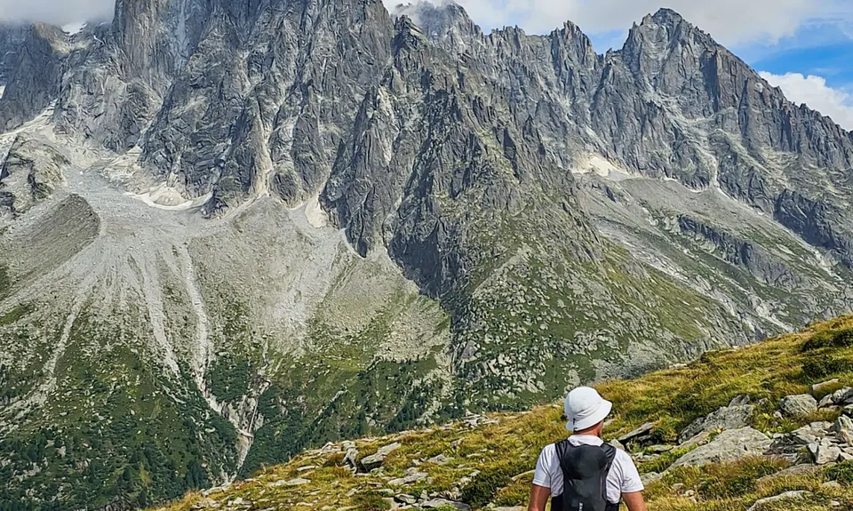
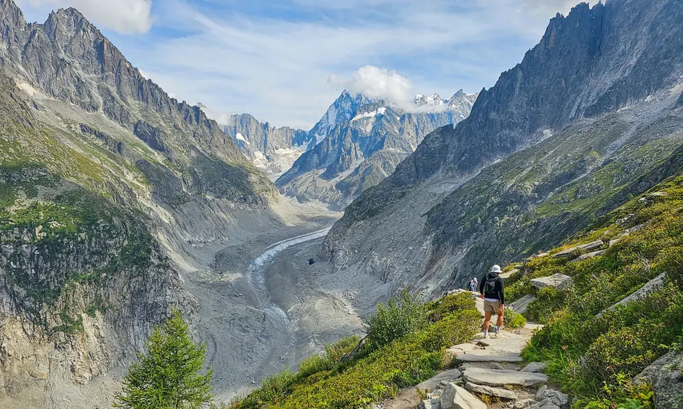
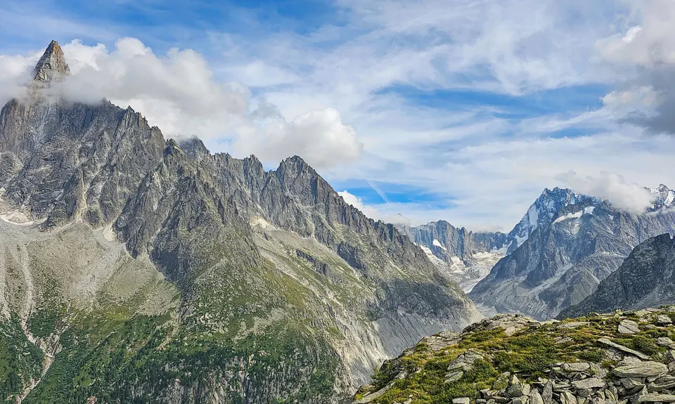
At approximately 12km, you’ll reach a signposted junction where the Grand Balcon trail peels off to the right to head steeply up a series of switchbacks towards Signal Forbes – go right/up. Both trail options will take you to Montenvers, however the signage indicates that the lower trail is ‘delicate’* and the higher trail is the preferred path (itineraire conseillé). After climbing up over large rock slabs that make a natural staircase, the trail levels out a bit. As you reach Signal Forbes (2,200m), the views open up to reveal Aiguille du Dru and Mer de Glace, the longest glacier in France.
From here, descend the switchbacks down towards Montenvers, keeping one eye on the trail and one eye on the view. Below the restaurant and glaciorium, pick up the Chemin du Montenvers trail that follows the old cogwheel railway down through the forest. Some sections of this trail are a steep and rocky – good fun, but needs a little focus as your legs start to tire. Which is fine, as there’s an adorable little café tucked away beside the trail should you ‘need’ a cheeky espresso. Eventually you pop out on a skifield road/path – follow this downhill, through the carpark and hang a right at the road (Av. Cachat Le Geant). Left at the roundabout, then across the river at the road bridge by the supermarket and back down the main road to the town centre to close your loop.
You could do this loop in either direction. Going clockwise would give you better views of Mont Blanc on your way across the balcony, avoids the rocky descent down from the Signal Forbes and Montenvers if that’s not your jam, and gives the option of catching the Aiguille du Midi cable car from Plan de l’Aiguille back to town. Going anticlockwise makes the balcony section a net downhill and a little more runnable, the views are still very far from terrible, and you can catch the train from Montenvers back to town should you need an option.
* very narrow, drops away sharply in places, and crosses gullies that are dangerous if snow is present; not recommended for children or people who don’t like heights. In any case, the views from the main route across Signal Forbes are much, much better, so just take that.