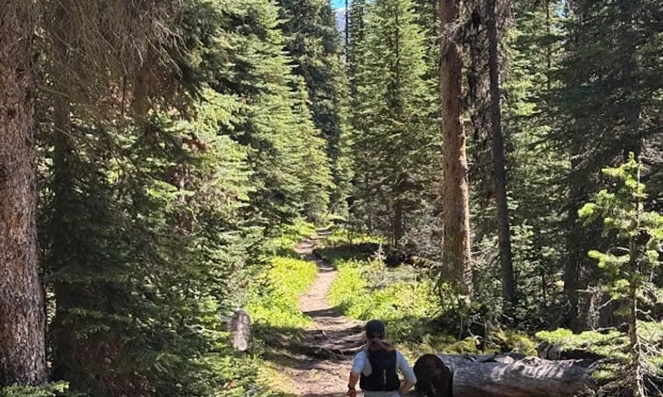
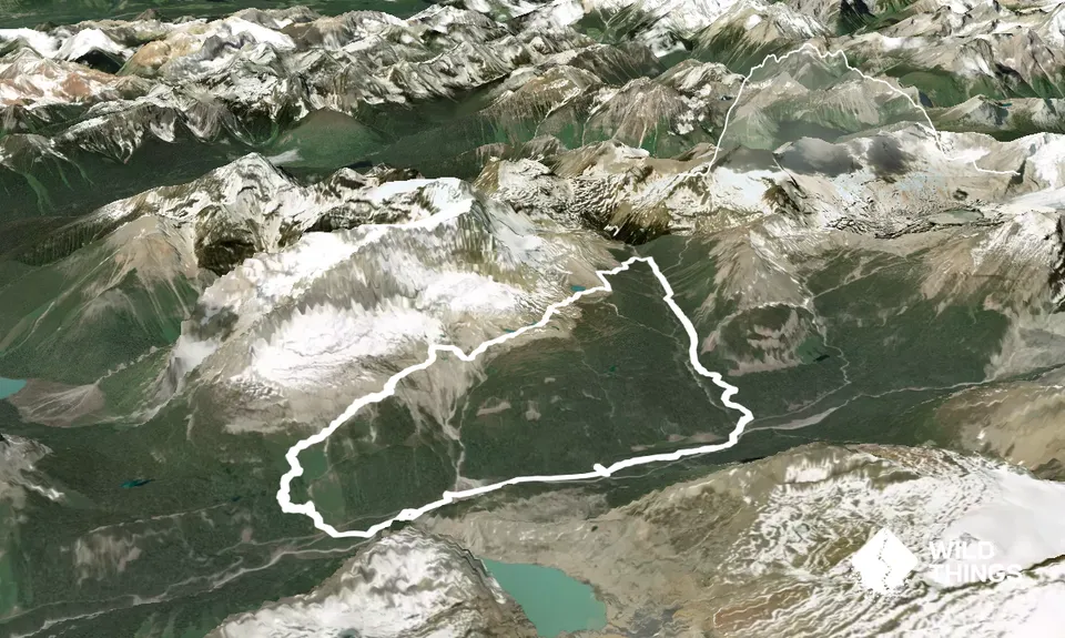
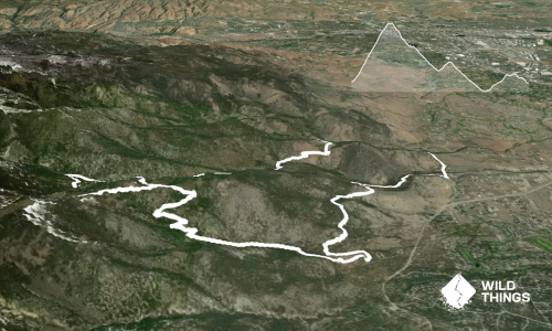
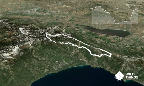
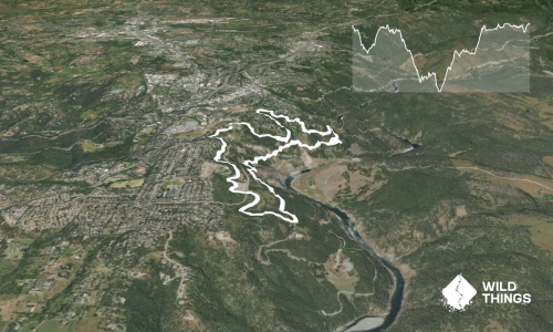
This epic Canadian loop provides a relatively runnable (depending on snow conditions) loop with awesome views for not too much vert. Start from the main Takkakaw Falls carpark and head south along the main river trail. After about 1km cross the road and follow the trail up the zig zags up the hills. After about 350m of climbing you will emerge from the bushline. At the trail junction stay right on the Iceline trail, not the Highline trail to the left.
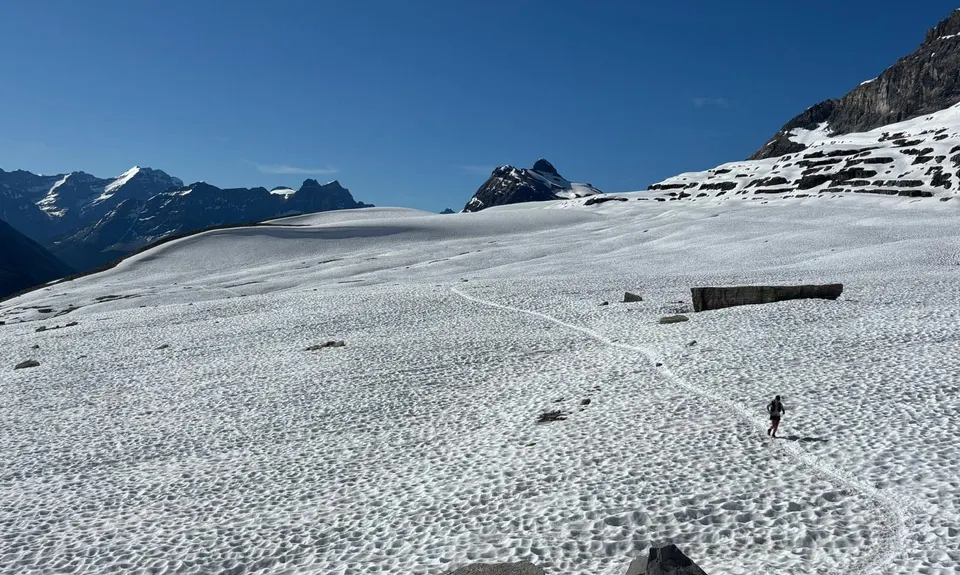
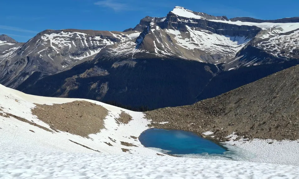
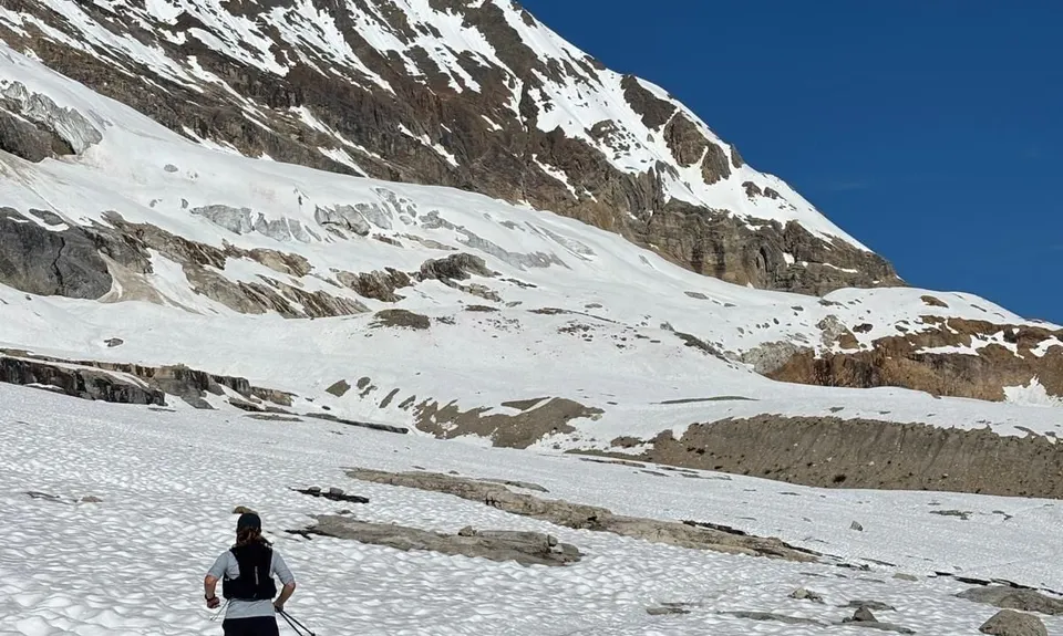
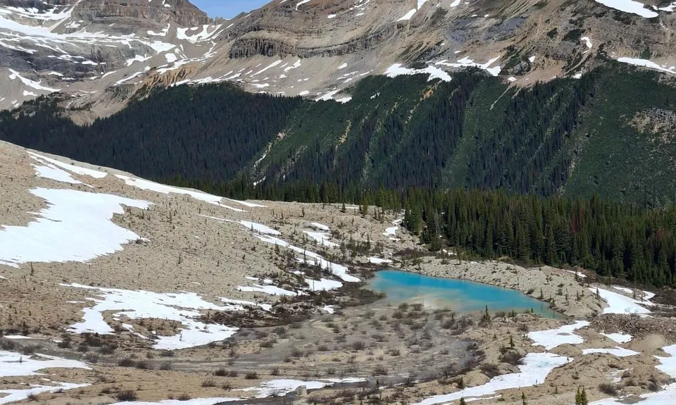
Follow this trail as it undulates across a bit of a plateau halfway up the mountain, past a few small lakes. In Early July 2026 this whole section was snowy, but runnable. These few kilometres are the highlight.
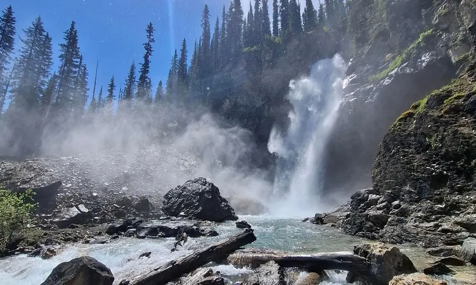
Halfway across there is a shortcut track (via Celeste Lake) if you want to make this loop shorter, but it's worth doing the whole loop. Carry on the main track as it descends down through forest to the Stanley Mitchell Hut. From here there is about 5km of beautiful gently descending forest singletrack to the Laughing Falls. Follow the main trail back to the carpark for another 5km. This last section isn't as interesting but has a couple of nice waterfall and river viewpoints along the way.
There are also options to extend the loop further, either by just a small amount to add on the Twin Falls, or by a lot more to add on the Whaleback loop.
Laughing Falls, Takkakaw Falls, Point Lace falls. Several unnamed alpine lakes.
Public Toilets available at the carpark only.
Unknown
Moderate.
Make sure you turn right onto the Iceline and not left onto Highline, just after reaching the bushline.
Make sure you don't take the Celeste Lakes turnoff.
Ensure you follow the main trail down the valley at the end, unless you are intending to go via Twin Falls or the Whaleback
Plenty of streams and lakes along the way, but would recommend carrying a filter or other treatment.
Snowbound with avalanche risk in winter. It opened around the start of July in 2026 but was still very snowy - microspikes were handy. The snow melts fast in summer so would be much more runnable later in the season.
As always in the Rockies, carry Bear Spray, and know how to use it. Be aware of avalanche risk in the alpine section.
The information provided is a guide only. Conditions, access and hazards can change, so use your own judgement and check current local information before heading out. Make sure the route or location is suitable for your experience, fitness and equipment, and check any access restrictions or permissions that may apply.
Do you have a suggestion on where to go afterwards for the best coffee / cake / breakfast / brunch / beer?
We don't store or share your location; it's only used for these features. You can continue without it, just without distance sorting and live map features.
Send to your phone
Scan the below QR code to open this page on your phone.
Tip: position the QR code in your phone camera screen.