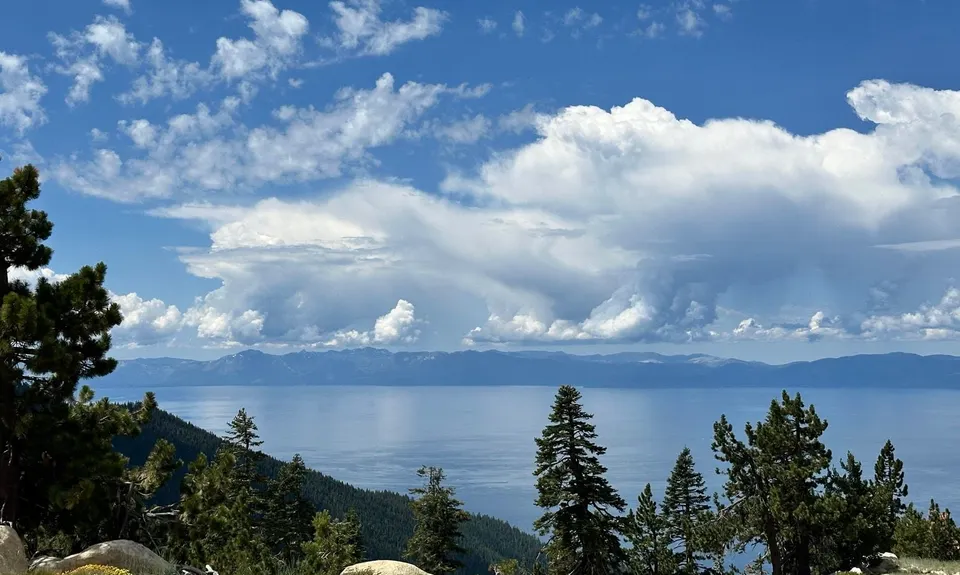
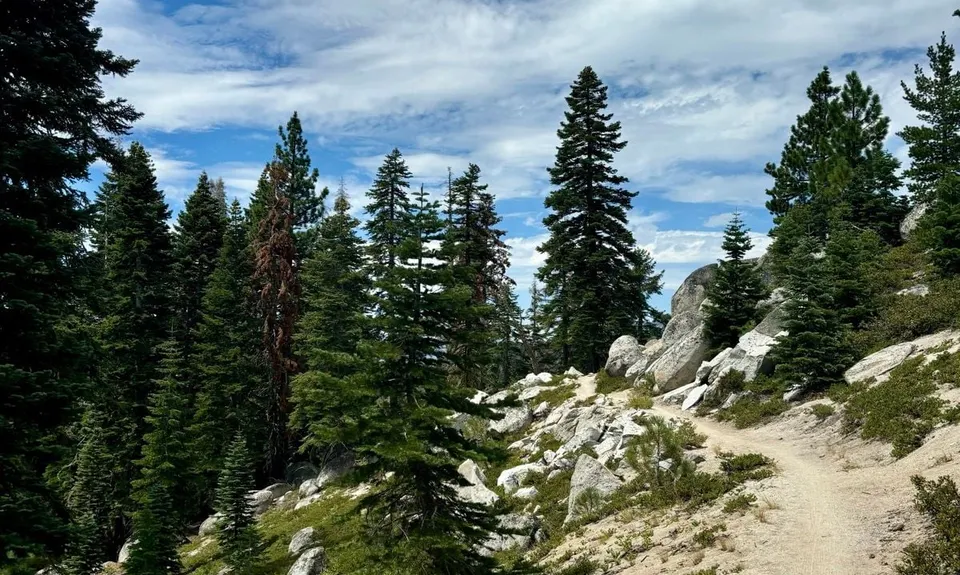
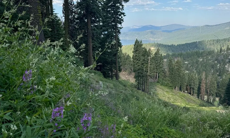
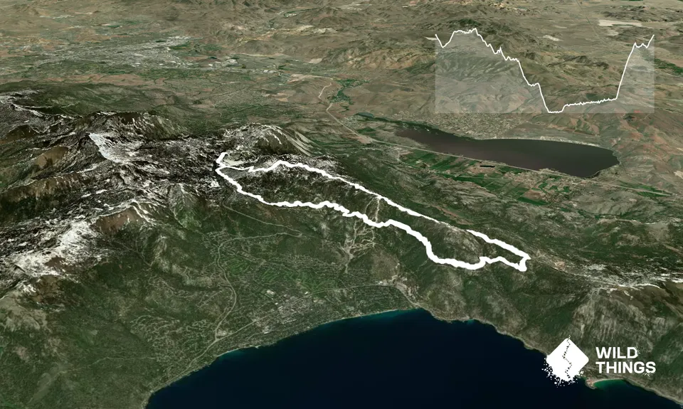
Starting from the parking lot at Tahoe Meadows Trailhead off the Mount Rose Highway, take the Tahoe Rim Trail in the direction of Lake Tahoe. This runs parallel to the road for a short distance before turning to the left and crossing a meadow area to a trail intersection. Take the left-hand turn, staying on the Tahoe Rim Trail and following it as it climbs over a smallish rise, then begins a lovely flowing descent through the forest. At about 8.6km into the run, take a very short detour to the right for a lookout from the top of the ski area over the lake. On a clear day you can see for miles.
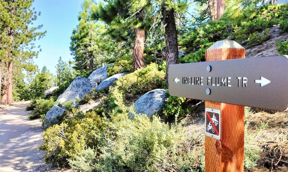
Head back to the trail and continue your descent, staying on the Tahoe Rim Trail until you meet the intersection with Tunnel Creek Road at about 13.8km. Turn right and head steeply downhill, turning right at the junction around 400m down to stay on Tunnel Creek Road, until at about 15km the Incline Flume Connector Trail leaves the road on a slight right. The uphill portion of the run now begins!
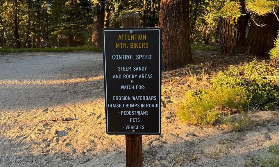
Follow Incline Flume Connector as it takes a long traverse on a gently uphill incline. it crosses the ski area you were at the top of earlier and continues until a trail intersection at about 24km. Here, take the right-hand option to start climbing up Tyrolean Downhill. The trail becomes much steeper as you climb up. There is a mountain bike jump line about halfway up but it's easy to avoid the biking lines, staying on the trail as it becomes Upper Tyrolean Entrance Trail.
A brief respite from the climbing as the trail flattens out until it meets the intersection with Tahoe Rim Trail. A last little pinch is the short climb back to the parking lot on the same trail you started out on.