Last Updated: 2nd Oct 2026

Beginner - Intermediate

Save Trail Save

I've done it Done

Wilcox Pass

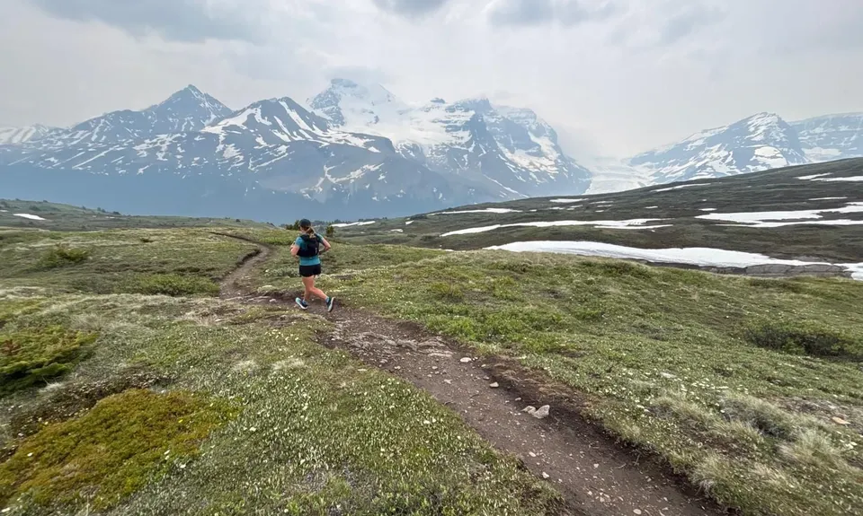
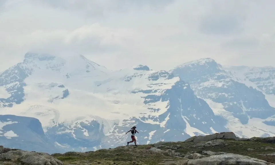
Panoramic Glacier views from beautiful rolling alpine singletrack - and Bighorn Sheep!

Submitted by Jennifer Tregurtha

Last Updated: 2nd Oct 2026

Beginner - Intermediate

Save Trail Save

I've done it Done

Open

Grunt Factor: 21 ?

Gnarl Factor: 62 ?

10.5km

605m

600m


Become a VIP to see driving directions, distance and time.

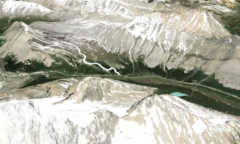
Trail Map

This Topo layer only covers NSW/ACT.
Switch to another map layer when viewing outside this area.

Type of Run

Front country - easily accessible

Out and Back

Undulating, some big hills

Native bush

Open tussock/grasslands

Open ridges/tops

Run Makeup

60%
40%

Moderate Single Track

Technical Single Track

Average Uphill Gradient: +11.60%

Average Downhill Gradient: -11.50%

Garmin Course

VIP Feature: Send this route to your Garmin account so you can follow the course on your Garmin device.

Send to Garmin

Learn about sending to Garmin.

Trailhead

Become a VIP Member to see the trailhead information.

Estimated Times to Run

3:00

Slow

2:15

Moderate

1:30

Fast

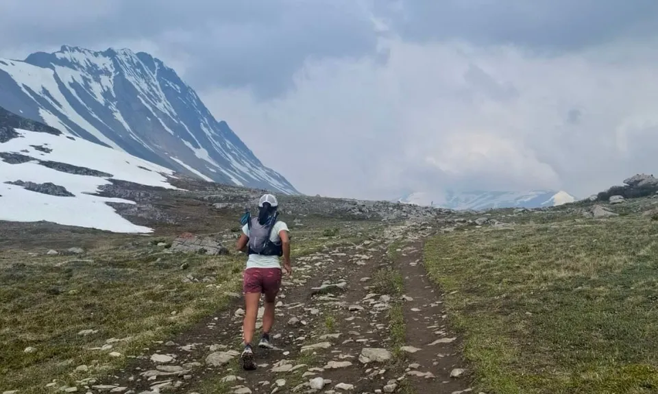
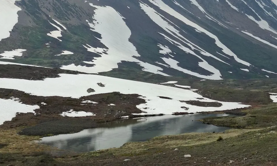
From the main carpark follow the rooty trail up through the forest. The first great viewpoint is just 1.3km in. From here the gradient eases and becomes fairly runnable in both directions for the rest of the route. At the 3.4km mark there is a stream crossing where you may get wet feet. From Wilcox Pass itself follow the trail around to the left where it climbs up to the ridge for views of the Columbia Icefield and Glacier.

There will be lots of people here, but if you head just a couple of hundred metres further up the ridge (as the GPX shows) you will likely have it to yourself.

Follow the same route back down, keeping your eyes open for the Bighorn Sheep that frequent this area.

The trail would have been more runnable if it didn't have such good views - you'll be stopping every few metres to take another photo :)

The Columbia Icefield and Glacier, and views down the Wilcox Pass Valley.

Public Toilets available at the carpark only.

Unknown

Easy.

The only marked junction is at the Wilcox Pass itself - follow the trail West towards the ridge rather than further north down the main valley.

Generally good.

Lightweight fleece top, Windproof jacket, Gloves, Personal Locator Beacon (PLB), Whistle, First aid kit, Extra food for emergencies, Survival bag, Cellphone, Map, Bear Spray

There are a couple of streams but with the abundance of wildlife in the area caution is advised.

LIkely inaccessible during winter.

Check for avalanche risk. As always in the Rockies, carry Bear Spray and know how to use it.

The information provided is a guide only. Conditions, access and hazards can change, so use your own judgement and check current local information before heading out. Make sure the route or location is suitable for your experience, fitness and equipment, and check any access restrictions or permissions that may apply.

Do you have a suggestion on where to go afterwards for the best coffee / cake / breakfast / brunch / beer?

Trail Legend

Jennifer Tregurtha

Jennifer Tregurtha

has completed Wilcox Pass once in the last year.

Login as a VIP to become a Trail Legend. Learn about Trail Legends.

You and Wilcox Pass

As a VIP member you can record private notes for this trail, see all of your times and more.

Become a Member

Already have an account? Login now

Trail Reviews

Be the first to submit a review for Wilcox Pass!

Login to submit a review

Trail Running Community

Find people who are interested in or have completed this trail run.

You must register or login to view this feature.

Register Now

Other trails nearby
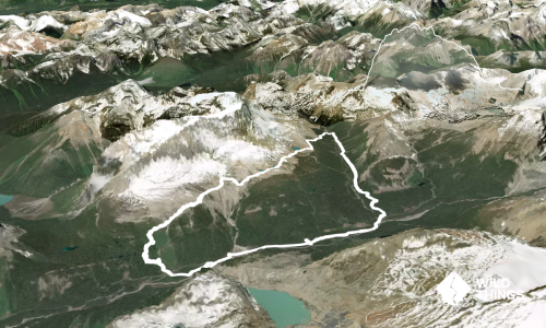
Yoho Iceline Trail

Yoho Iceline Trail

Length: 20.3km

Level: Intermediate

Distance Away: 93.5km

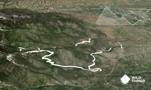
Jones-Whites Creek Loop + Church Pond

Jones-Whites Creek Loop + Church Pond

Length: 24.0km

Level: Intermediate

Distance Away: 1,444.2km

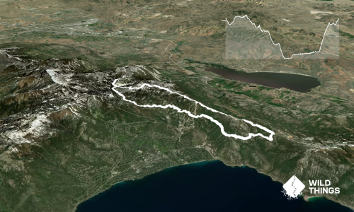
Tahoe Rim Trail - Flume Trail Loop

Tahoe Rim Trail - Flume Trail Loop

Length: 29.9km

Level: Beginner - Intermediate

Distance Away: 1,450.8km

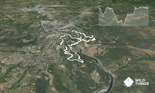
Auburn Trails and Canal

Auburn Trails and Canal

Length: 10.0km

Level: Beginner

Distance Away: 1,512.1km

Find more trails and peaks nearby

Wild Things
Wild Things
Explore more

Plan smarter, stay motivated, track your progress, and unlock the full Wild Things experience — while saving along the way.