Back country - remote
Loop
Very hilly
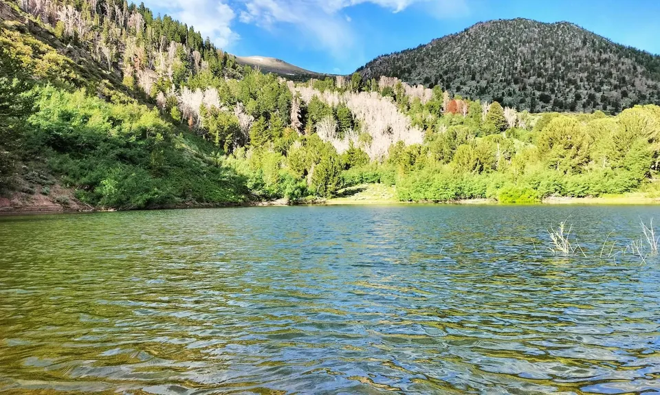
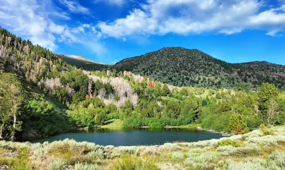
Lakeside
Open tussock/grasslands
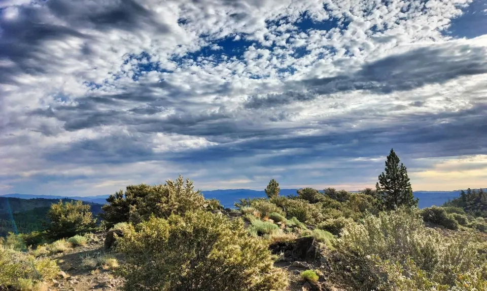
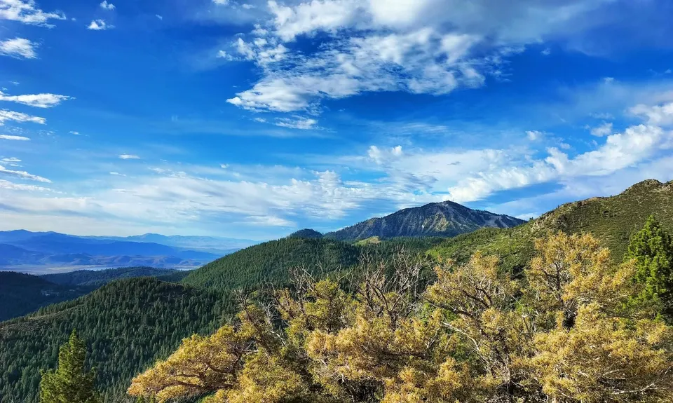
Open ridges/tops
Moderate Single Track
Technical Single Track
Average Uphill Gradient: +8.40%
Average Downhill Gradient: -8.40%
VIP Feature: Send this route to your Garmin account so you can follow the course on your Garmin device.
Become a VIP Member to see the trailhead information.
6:00
Slow
4:00
Moderate
3:00
Fast
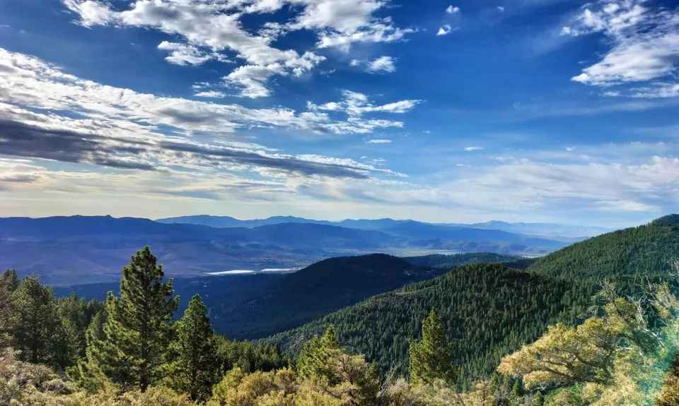
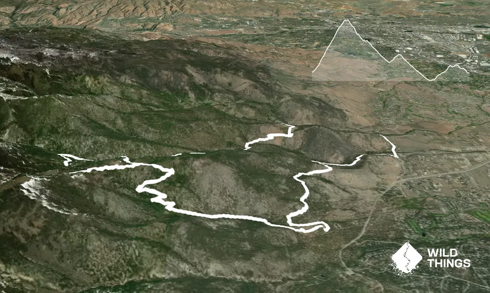
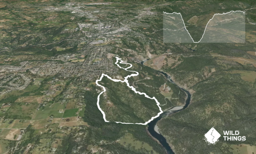
From the parking lot, head out on the Jones/Whites Creek Loop in a clockwise direction. Follow the trail, uphill all the way, until you meet a trail junction a bit over 4km in. Take the left-hand turn, which will take you up to the Church's Pond, a beautiful little alpine lake. There are further options to climb higher from here if you wish, these are not described on this route.
Retrace your steps from Church's Pond until you get back to the intersection with Jones/Whites Creek Loop and turn left to continue your clockwise direction along the trail. There is now a beautiful long descent of around 5km, until you leave the Jones/White Creek trail by taking a left, crossing the stream and heading uphill on Dry Pond Trail. Continue on this until you meet a T-junction with Upper Thomas Creek Trail. Turn right onto this and follow it downhill until it comes out at North Timberline Drive.
Turn right onto the quiet road, and travel around 1km along it until you see National Forest Development Road 047 on your left (it's almost opposite and just past Timberline Court on the other side of the road). A short distance up this road, Upper Whites Creek Trail is on your left. Follow the trail, it crosses the road a couple of times, climbing again, and eventually intersecting with Jones/Whites Creek Loop. Take the left-hand turn and follow the remainder of the loop back to the carpark where you started.
If you know of any public toilets near the trail start or on the route, please login and then let us know so we can update this section.
Plenty of parking at the trailhead past the Galena Creek Visitor Center
Unknown
Moderate.
Patchy.
Long-sleeved thermal top, Seam-sealed waterproof jacket, Personal Locator Beacon (PLB), Whistle, First aid kit, Extra food for emergencies, Survival blanket, Cellphone, Compass, Map
Little on route, bring more than you think.
These elevations often have heavy snow in winter. The best time of year for this trail is late spring and autumn.
In spring the stream crossing of Whites Creek to get onto Dry Pond Trail can be washed away by snowmelt. If you can't cross safely, continue following the Jones/Whites Loop trail rather than crossing for a shorter but still great route.
The information provided is a guide only. Conditions, access and hazards can change, so use your own judgement and check current local information before heading out. Make sure the route or location is suitable for your experience, fitness and equipment, and check any access restrictions or permissions that may apply.
Do you have a suggestion on where to go afterwards for the best coffee / cake / breakfast / brunch / beer?
Fastest Known Times (FKTs)
You and Jones-Whites Creek Loop + Church Pond
As a VIP member you can record private notes for this trail, see all of your times and more.
Already have an account? Login now
Length: 29.9km
Level: Beginner - Intermediate
Distance Away: 7.5km