Last Updated: 2nd Oct 2026

Beginner

Save Trail Save

I've done it Done

Auburn Trails and Canal

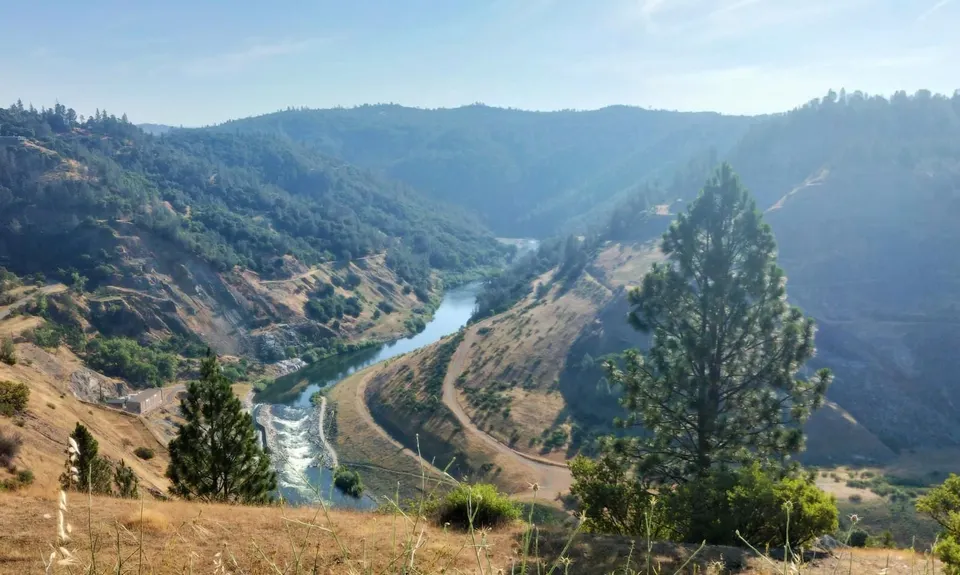
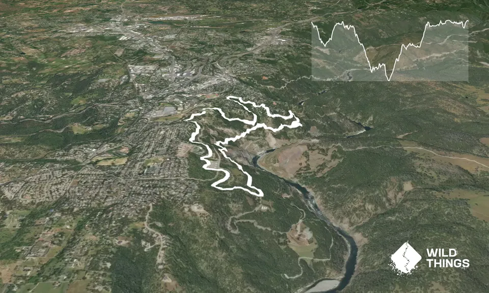
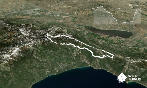
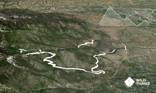
This fun 10km loop takes in some of the great trails in Auburn without dropping too far into the canyon.

Submitted by Emily Oliver

Last Updated: 2nd Oct 2026

Beginner

Save Trail Save

I've done it Done

Open

Grunt Factor: 12 ?

Gnarl Factor: 24 ?

10.0km

270m

275m


Become a VIP to see driving directions, distance and time.

Trail Map

This Topo layer only covers NSW/ACT.
Switch to another map layer when viewing outside this area.

Type of Run

Urban fringe

Loop

Undulating, small hills only

Dog Friendly

Riverside

Open farmlands

Open tussock/grasslands

Run Makeup

30%
50%
20%

Farm Road / 4WD Track

Easy Single Track

Technical Single Track

Average Uphill Gradient: +5.30%

Average Downhill Gradient: -5.40%

Garmin Course

VIP Feature: Send this route to your Garmin account so you can follow the course on your Garmin device.

Send to Garmin

Learn about sending to Garmin.

Trailhead

Become a VIP Member to see the trailhead information.

Estimated Times to Run

2:00

Slow

1:30

Moderate

0:50

Fast

Start at the American River Canyon Overlook Park where there's plenty of parking. Pick up the Western States Trail (from the carpark, find it past the toilet block on the north side) and follow it as it curves around and down. At about 1km Gold Street Trail branches off to your left - take this, heading uphill through a green gully. This takes you to Gold Street, where you take the immediate first right onto Virginia Street, then another immediate right heading down the streets until the end of Rio Camino Street, where you pick up Rio Camino Spur Trail.

Follow this downhill as it traverses around and meets the Robie Point Break. Head downhill on the break for roughly 300m, and then pick up Contour Trail on your right - the angle puts this almost behind you as it leaves the break, so keep your eyes out for it (and make sure you don't head back up Western States Trail which turns off slightly earlier).

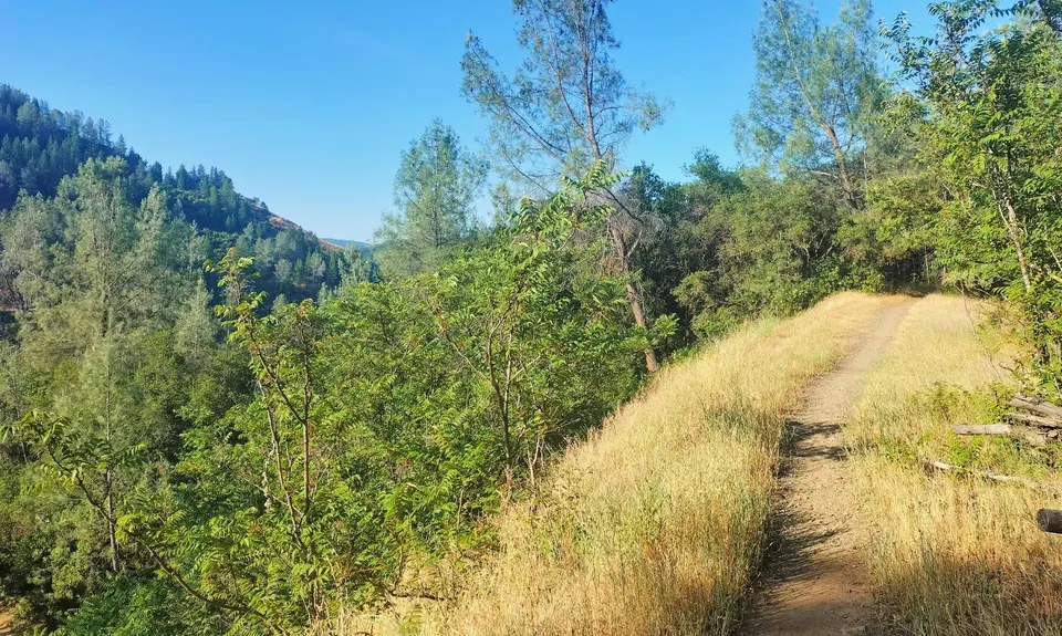
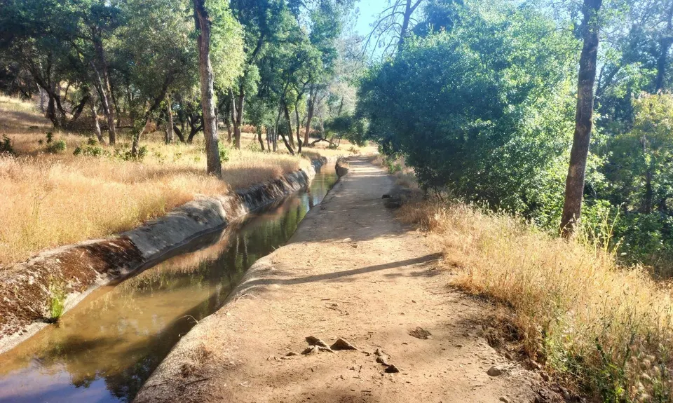
Contour Trail is well named as it takes you on a meander along the 300m contour until meeting the Robie Point Break again. Go downhill on this and continue traversing until just before 7km into the run, where you take a sharp uphill turn, and get onto Cardiac Bypass Trail which leaves the road on the left. Follow this uphill for a steep but short section until you meet the Shirland Canal Trail. This lovely trail follows the small but swiftly flowing canal and is refreshing to run beside on a hot day.

Turn right onto Shirland Canal Trail and follow it all the way until it meets Dale Drive at about 9.6km into the run. Here, go right and downhill for a very short way to the intersection. Cross the intersection and pick up the small trail that takes you through to Gum Lane, then hang an immediate right and go up the hill. At the top of the hill you'll find yourself back at Overlook Park where you started.
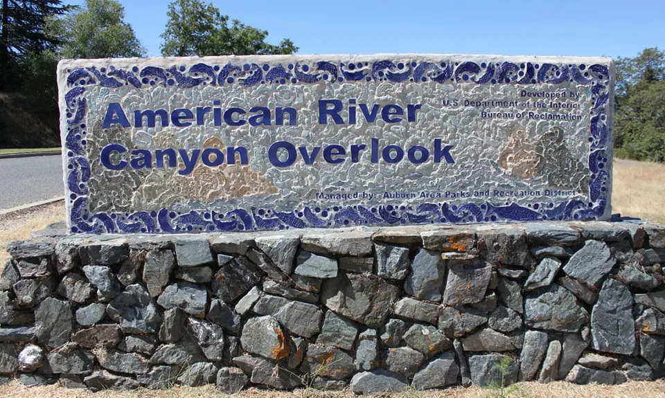
At the start/finish.

Plenty of parking at the Overlook Park. Gates open 7.30 am and close at different times depending on the season.

Yes

Easy.

Use the GPX if you're not familiar with the area.

Generally good.

Cellphone, Map

There's a water fountain at some point on the canal trail, but it pays to carry your own water in the summer heat.

The information provided is a guide only. Conditions, access and hazards can change, so use your own judgement and check current local information before heading out. Make sure the route or location is suitable for your experience, fitness and equipment, and check any access restrictions or permissions that may apply.

Do you have a suggestion on where to go afterwards for the best coffee / cake / breakfast / brunch / beer?

You and Auburn Trails and Canal

As a VIP member you can record private notes for this trail, see all of your times and more.

Become a Member

Already have an account? Login now

Trail Reviews

Be the first to submit a review for Auburn Trails and Canal!

Login to submit a review

Trail Running Community

Find people who are interested in or have completed this trail run.

You must register or login to view this feature.

Register Now

Other trails nearby
Cardiac Loop

Cardiac Loop

Length: 8.6km

Level: Beginner - Intermediate

Distance Away: 1.3km

Tahoe Rim Trail - Flume Trail Loop

Tahoe Rim Trail - Flume Trail Loop

Length: 29.9km

Level: Beginner - Intermediate

Distance Away: 110.4km

Jones-Whites Creek Loop + Church Pond

Jones-Whites Creek Loop + Church Pond

Length: 24.0km

Level: Intermediate

Distance Away: 117.0km

Tunnel View to Sentinel Beach

Tunnel View to Sentinel Beach

Length: 30.6km

Level: Intermediate

Distance Away: 178.4km

Find more trails and peaks nearby

Wild Things
Wild Things
Explore more

Plan smarter, stay motivated, track your progress, and unlock the full Wild Things experience — while saving along the way.