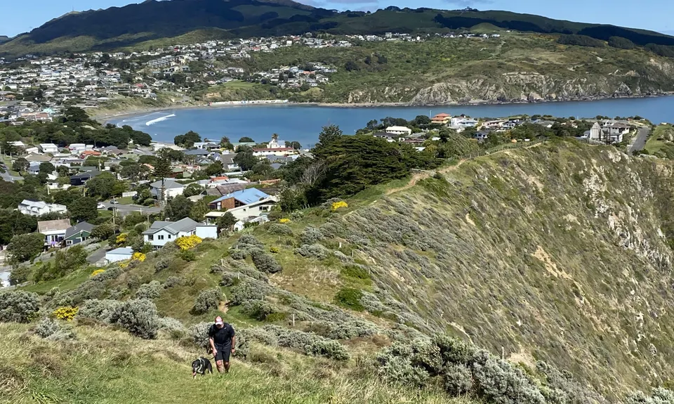
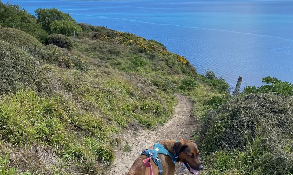
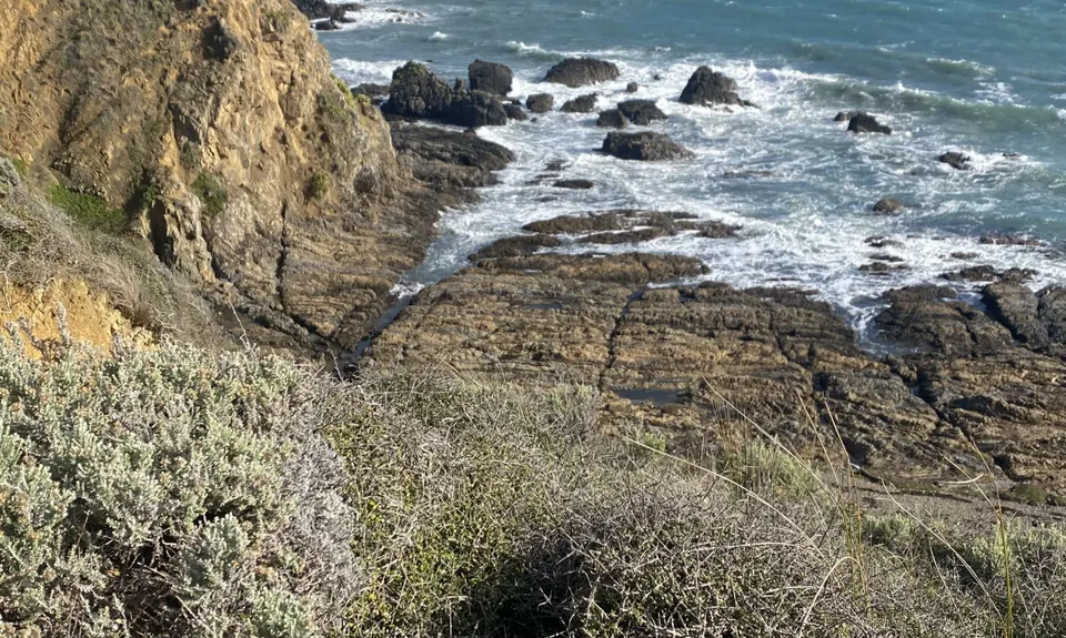
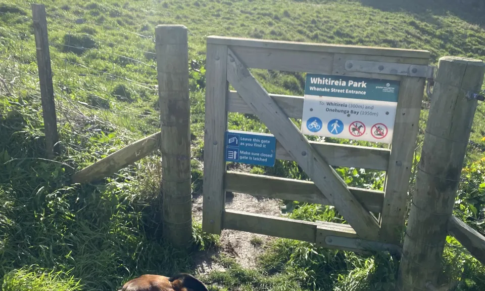
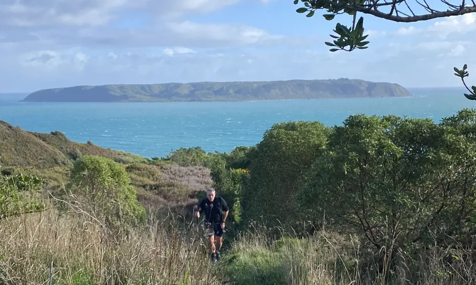
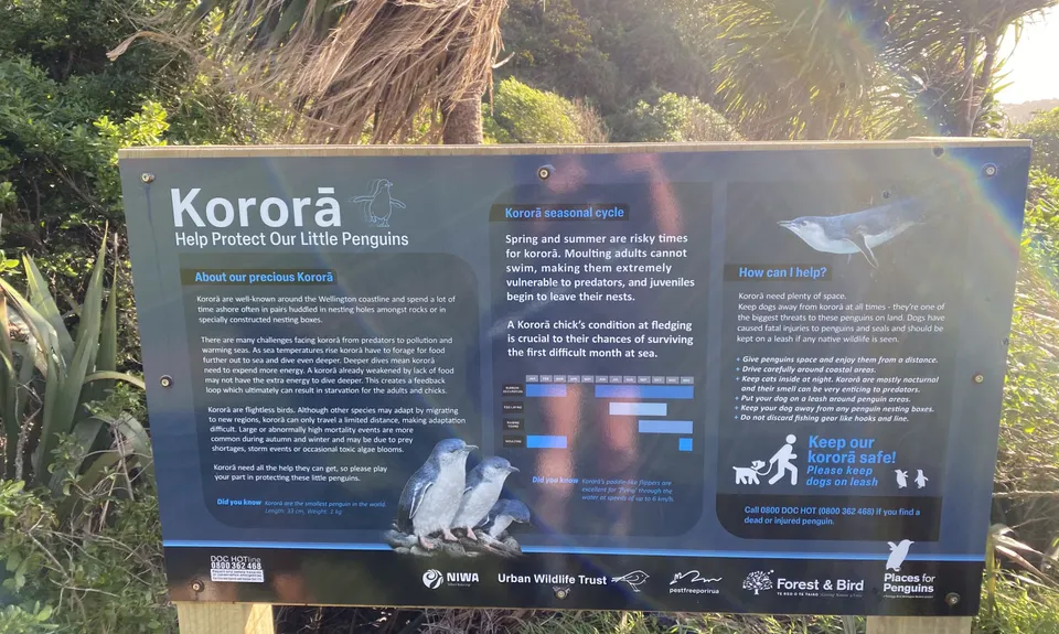
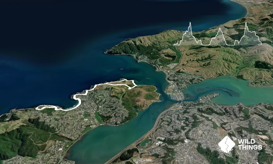
Whitireia and Titahi Bay CliffsBeginner
Submitted by Richele McKenzie
Urban fringe
Out and Back
Undulating, small hills only
BeachCoastalOpen tussock/grasslandsOpen ridges/tops
Beginner
1:30 (Slow)
1:10 (Moderate)
0:45 (Fast)
-7.4%
+7.5%
Dogs are prohibited on Titahi Bay Beach between November 1 and March 31 between the hours of 10am and 7pm.
Fastest Known Times (FKTs)
Please set your gender to see your position on the FKT leaderboards.
The more , the harder the FKT will be to beat. Learn about Fastest Known Times.
Description
This is an out and back with loops at each end. Head along the coast north from the carpark. Approx 700m along turn left onto the cliff track and follow this up to Mt Couper / Whitireia, then down the hill to the end of Richard Street. The track to Richard St cuts through a gap in a fence and is very narrow. At the end either hop over the next fence or carefully make your way around it. If you want to avoid the narrow cliff track on Richard Street, head down Wright Street then Whanake where you will find a gate into the reserve.
A few hundred metres down the street turn right into a walkway that brings you out at Terrace Rd. Follow the trail alongside Terrace Road all the way to Titahi Bay beach. Continue past both sets of boatsheds and up onto the Southern Clifftop Walkway until you get to a paved road. Cross the road and continue along the narrower track through Stuart Park.
At the next road head straight across again, and down the grass trail until it rejoins the Southern Clfftop Walkway. Return to Mt Couper/Whitireia then as you descend turn right, cross the road and continue along the grassy trail to the golf course fence line. Further along the fence line is a stile and track that meets up with the Onepoto trail. Turn left and the carpark is only 400m away.
Trail Community
Features of interest
Whitireia Park is a headland with commanding views over Mana Island and Porirua Harbour. The park comprises around 180 hectares of predominantly open space grasslands with some native bush. Steeped in Maori history, it is believed that the anchor stone of the canoe of the legendary Maori explorer, Kupe, lay on Onehunga Beach for centuries. (Greater Wellington Regional Council website). The Titahi Bay Boatsheds are colourful landmarks that are still in use today.
Make Up of Run
Untracked / Route only: 7%
Easy Single Track: 78%
Sealed Road: 15%
Route Data
Reviews:
Photos:
Your Trail Wishlist
All the runs that are on your To Do list (no limit).
Add to wishlist view wishlistWild Explorers
I did it!-
Access
Whitireia Park carpark, accessed via Whanake Street.
Other start points include the top of Richard Street, Terrace Road, or Titahi Bay Beach.There is plenty of parking available at the Whitireia carpark. Public toilets are located closeby. Whitireia Park gate opens at 6am daily and closes between 6pm and 9pm depending on time of year. Buses are available between Porirua Railway Station and Titahi Bay Beach.
8 km
14 minutes
Yes
No
-
Staying Safe
Easy.
Generally good.
Windproof jacket, Whistle, First aid kit, Extra food for emergencies, Cellphone, Map.
There is a drinking fountain at Arnold Park, just behind Titahi Bay Beach.
The cliffs are very exposed to wind at any time of the year.
The cliffs are steep and prone to wind and erosion so take care. Be especially careful when scrambling over the barrier at the end of Richard Street.
-
Post run indulgence
Columbus Coffee
Mitre 10 Mega, 3 Semple Street Elsdon, Porirua, New Zealand
Lovely cakes and coffee. - Blog Posts and Articles
-
Sponsor this trail