Last Updated: 6th Feb 2026
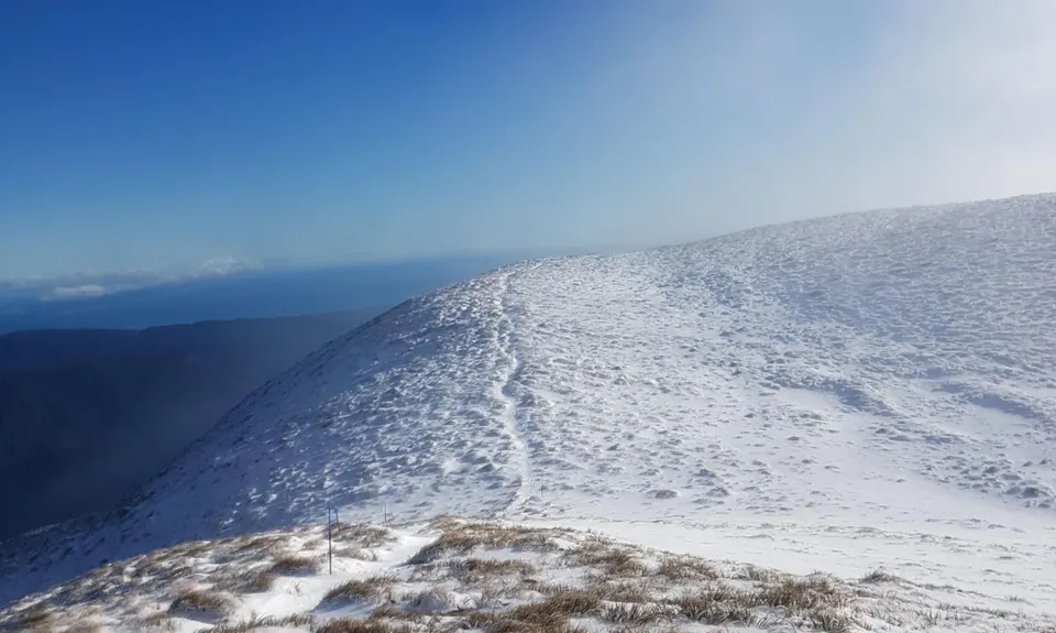
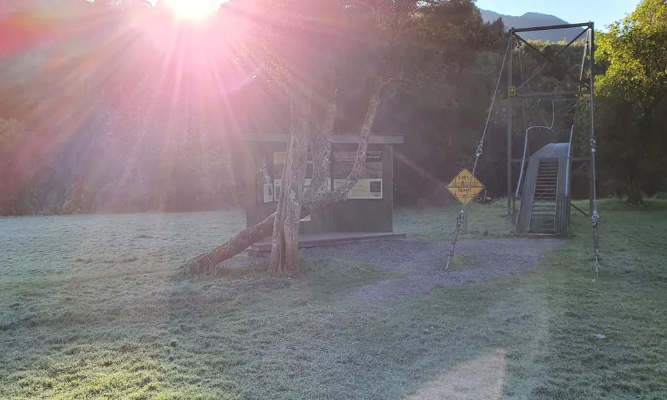
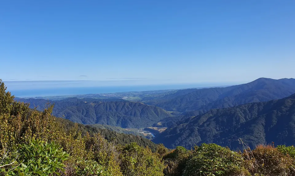
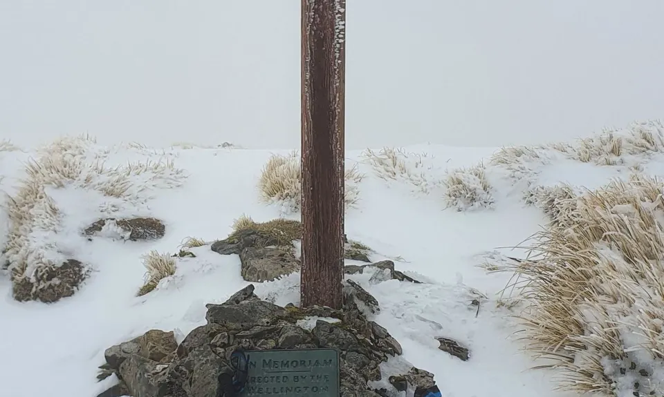
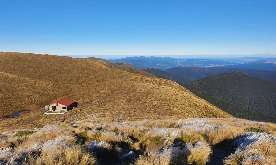
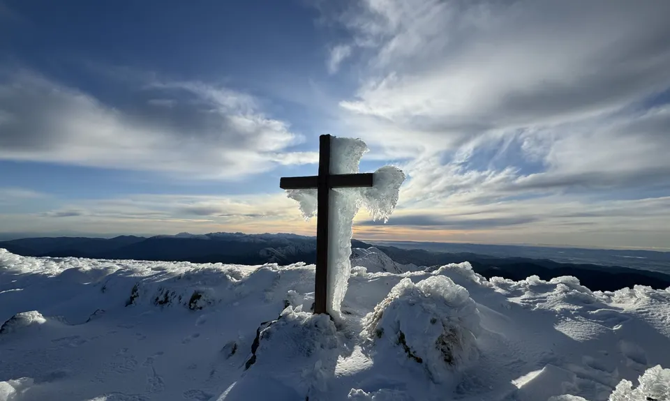
Mt Hector (From Otaki Forks)
Last Updated: 6th Feb 2026
Open
Grunt Factor: 73 ?
Gnarl Factor: 79 ?
23.5km
2300m
2300m
1537m
.jpg)
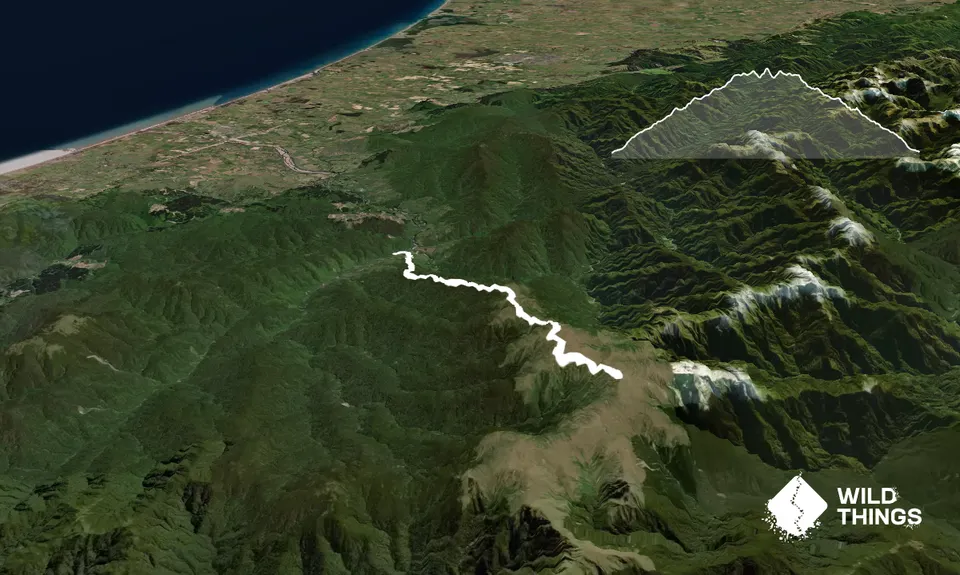
Trail Map
This Topo layer only covers NSW/ACT.
Switch to another map layer when viewing outside this area.
Switch to another map layer when viewing outside this area.