Last Updated: 20th Jan 2026
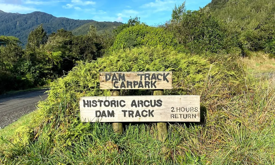
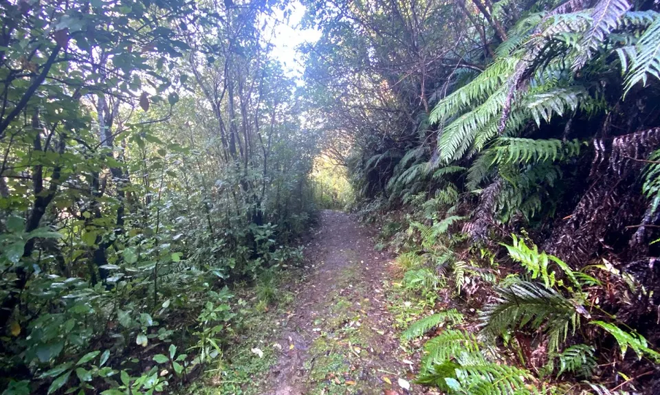
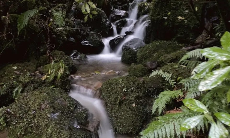
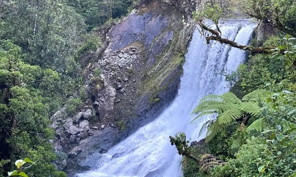
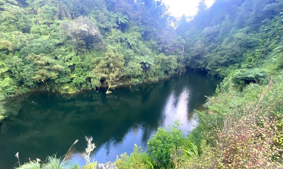
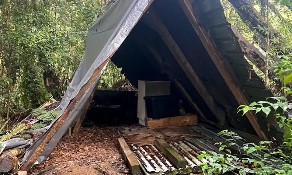
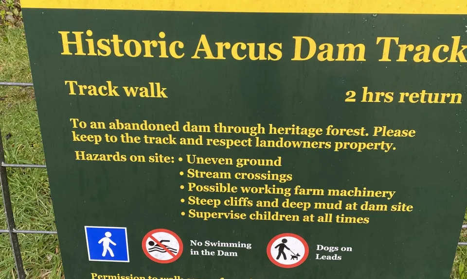
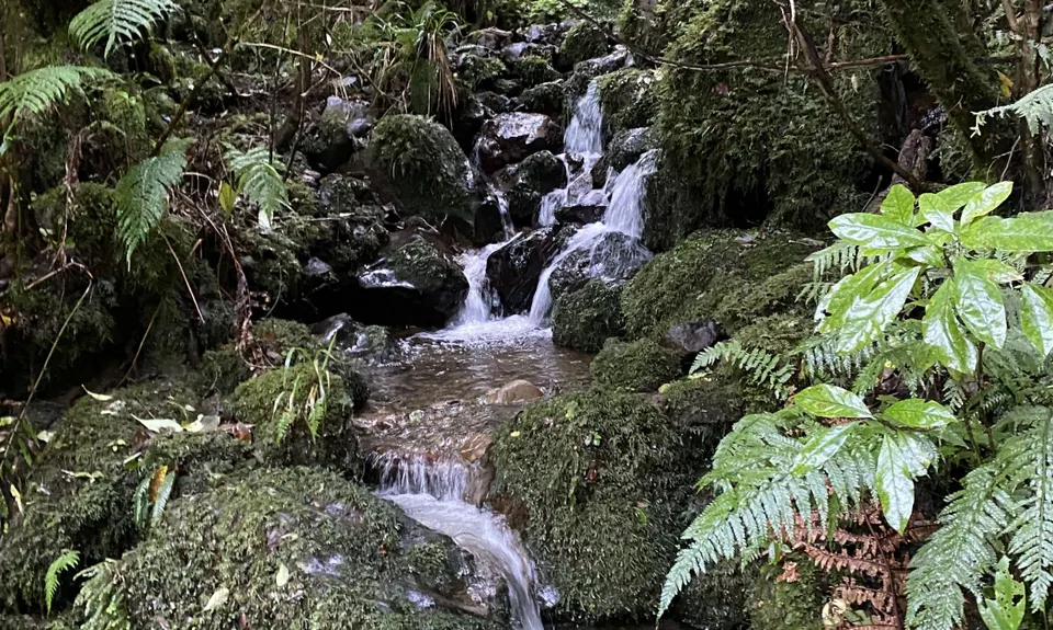
Arcus Dam Track
Last Updated: 20th Jan 2026
Grunt Factor: 17 ?
Gnarl Factor: 38 ?
6.1km
190m
190m
217m
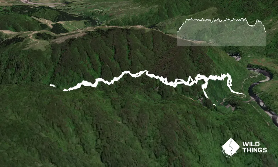
Trail Map
This Topo layer only covers NSW/ACT.
Switch to another map layer when viewing outside this area.
Switch to another map layer when viewing outside this area.


