Last Updated: 24th Jul 2026
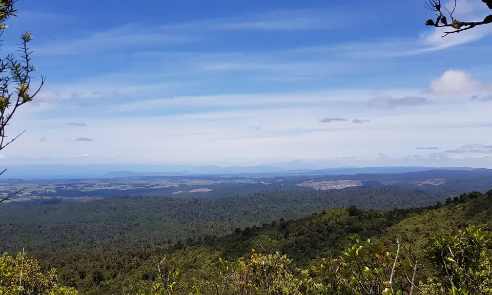
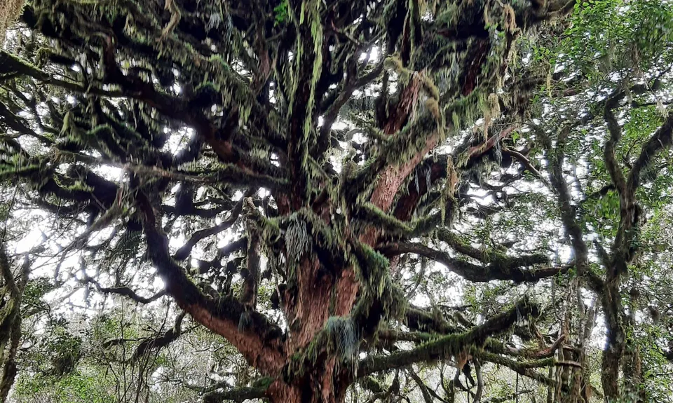
Mount Titiraupenga
Last Updated: 24th Jul 2026
Grunt Factor: 38 ?
Gnarl Factor: 60 ?
14.0km
980m
980m
1016m


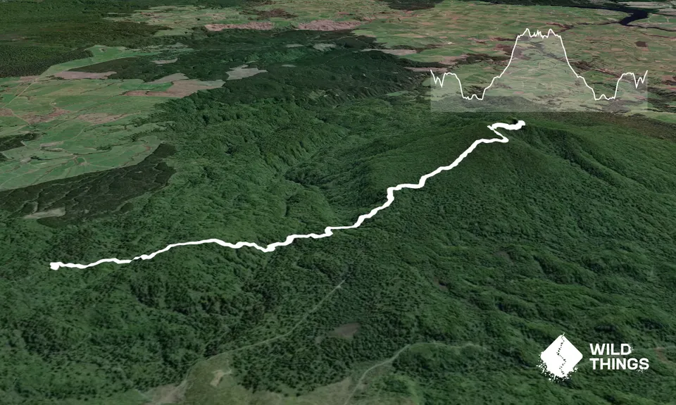
Trail Map
This Topo layer only covers NSW/ACT.
Switch to another map layer when viewing outside this area.
Switch to another map layer when viewing outside this area.


