Last Updated: 8th Jul 2024
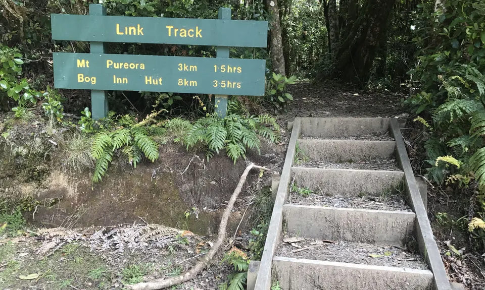
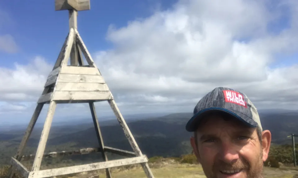
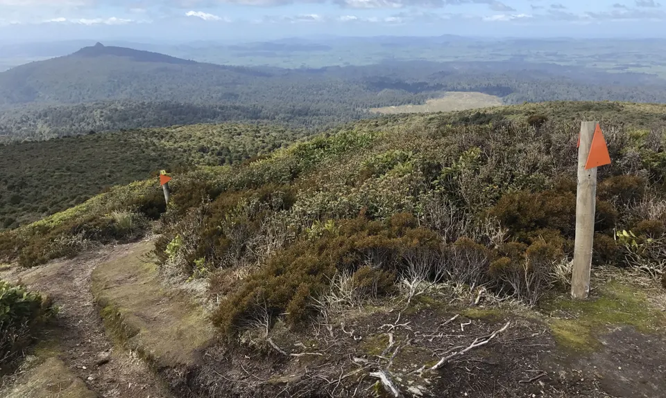
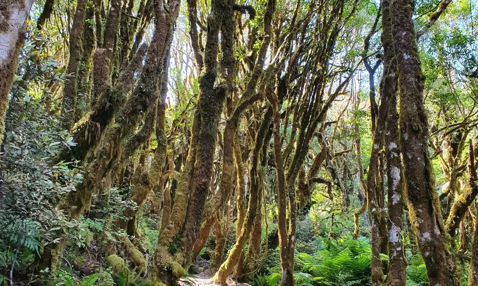
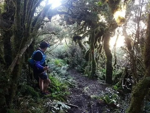
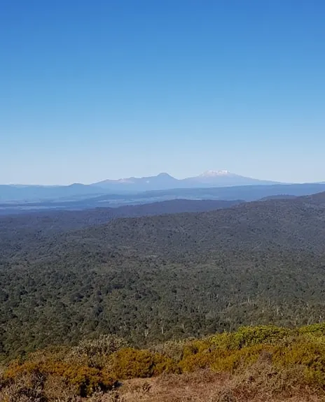
Pureora Double
Last Updated: 8th Jul 2024
Grunt Factor: 30 ?
Gnarl Factor: 46 ?
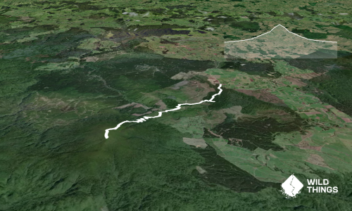
11.4km
690m
690m
1165m
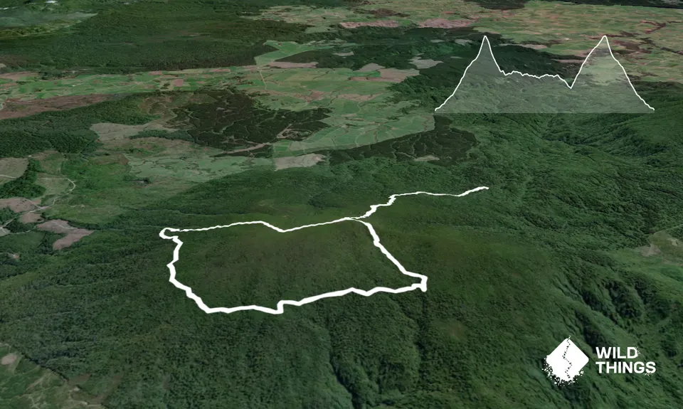
Trail Map
This Topo layer only covers NSW/ACT.
Switch to another map layer when viewing outside this area.
Switch to another map layer when viewing outside this area.