Last Updated: 17th Oct 2025
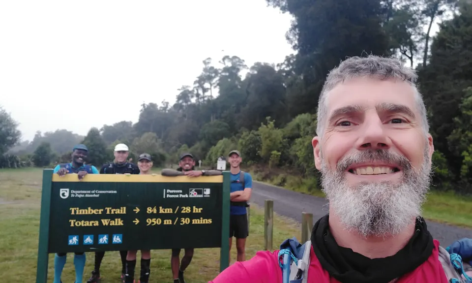
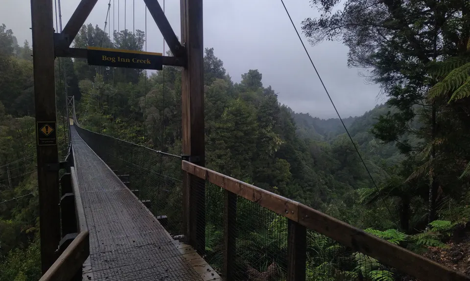
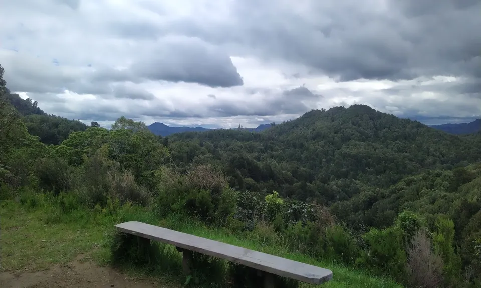
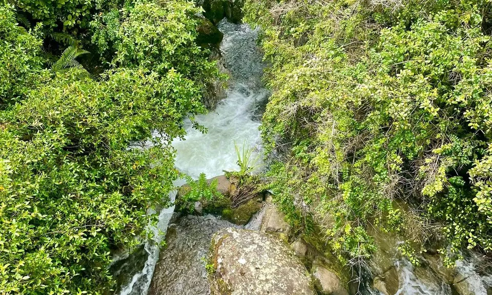
Timber Trail
Last Updated: 17th Oct 2025
Open
Grunt Factor: 83 ?
Gnarl Factor: 11 ?
84.0km
1400m
1593m
970m


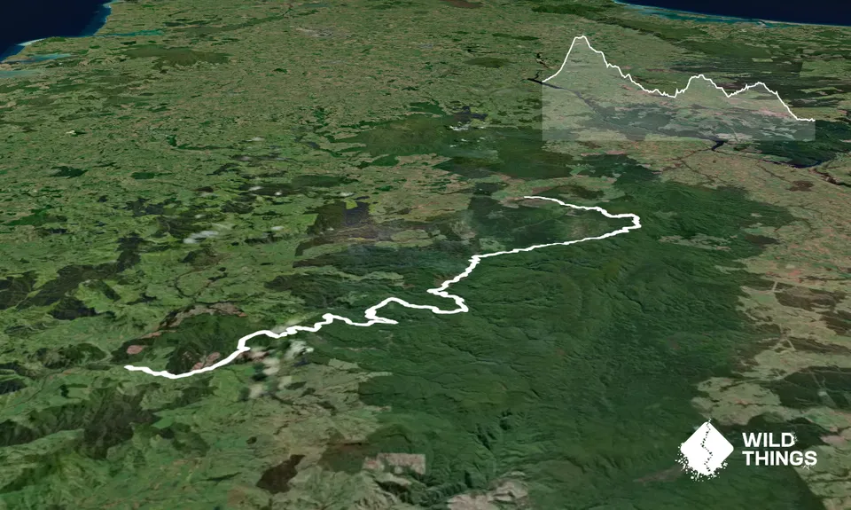
Trail Map
This Topo layer only covers NSW/ACT.
Switch to another map layer when viewing outside this area.
Switch to another map layer when viewing outside this area.


