Last Updated: 21st Sep 2023

Beginner - Intermediate

Save Trail Save

I've done it Done

Mangaokewa

Te Kuiti, Waikato

Submitted by Katie Smith

Last Updated: 21st Sep 2023

Beginner - Intermediate

Save Trail Save

I've done it Done

Open

Grunt Factor: 34 ?

Gnarl Factor: 38 ?

27.2km

690m

690m

211m


Login as a VIP to see driving directions, distance and time.

Trail Map

Type of Run

Front country - easily accessible

Combo

Undulating, small hills only

Native bush

Plantation/exotic forest

Riverside

Open farmlands

Run Makeup

30%
60%
10%

Easy Single Track

Moderate Single Track

Technical Single Track

Average Uphill Gradient: +6.3%

Average Downhill Gradient: -6.4%

Trailhead

Login as a VIP to see the trailhead information.

Estimated Times to Run

4:00

Slow

3:00

Moderate

2:30

Fast

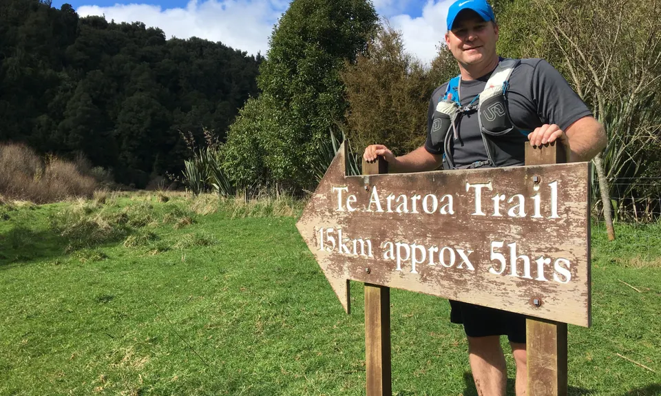
Park at the Mangaokewa Reserve. You will see the bridge over the river - ignore this and look for the track on your right as you face the river at the end of the car park. This is part of the Te Araroa trail, so follow signs for this.

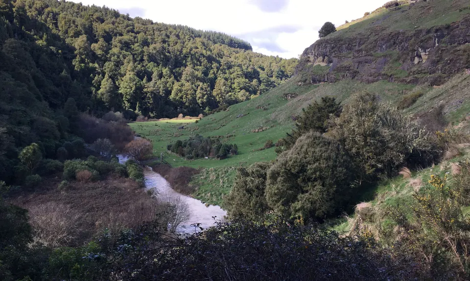
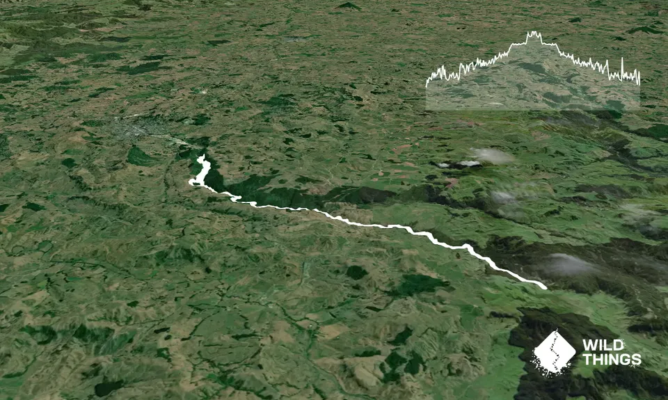
Initially it runs through lovely native bush, with loads of bird life. At around the 2.5km mark it climbs up away from the river then comes out onto open farmland. You can see another bridge down to the left - you'll take this on the return trip. From here there are orange triangles and poles across mainly open farmland, following the river with nice views of the bush on the opposite bank. There are lots of little undulations, but its mainly very runnable when dry.

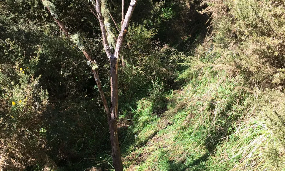
The track goes through a few small groves of trees. Eventually you come out onto the end of a gravel road (Mangaokewa N Rd). This marks the turn-around point. Obviously you can turn around anywhere before here, or could arrange a pick-up to do it one-way (though the road end is quite out of the way).

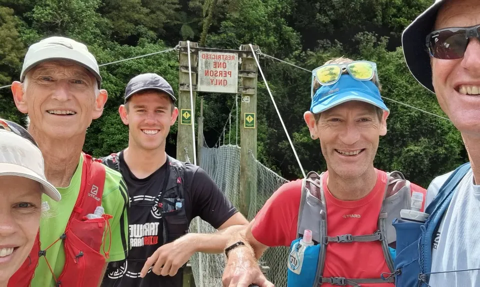
Follow the same track back until you reach the second swing bridge (just before the track heads back into bush). This time cross the bridge, and follow the river back on the other side. There is a very short detour on the right to see a pretty little waterfall. The track will bring you out at the bridge by the car park, and back to the start. If you want a shorter run, the loop up one side of the river and back down the other is about 5km.

Nice little waterfall side trip on the return loop, lovely bush in Mangaokewa Reserve with lots of birdlife.

4 km

5 minutes

Unknown

No

Easy.

Patchy.

Long-sleeved thermal top, Whistle, First aid kit, Extra food for emergencies, Cellphone, Map

The river is drinkable at a stretch, but runs through farmland - I'd take enough that you don't need to fill up.

Gets muddy after rain
Be considerate during lambing season

You and Mangaokewa

As a VIP member you can record private notes for this trail, see all of your times and more.

Register Now

Already have an account? Login now

Trail Reviews

This is no easy trail. It starts out O.K. and you run through some lovely fields full of buttercups. Nek minute you are in a gnarlfest! The track isn't easy to follow in places anx tbere are steep bits, slippery bits, muddy bits, blackberry bits and heaps of places to trip over or slide down slopes. The track does need some TLC in places. However it is a bit of an adventure and a tough day out on the legs. The stream is a lovely place to cool off in and taking along a water bottle with a filter is a good idea.

chris atkinson

November 11, 2021

Ran this in August. Awesome track, but slow going when it's wet and boggy.

Matt Rowbotham

January 19, 2020

Login to submit a review

Trail Running Community

Find people who are interested in or have completed this trail run.

You must register or login to view this feature.

Register Now

Other trails nearby
Pureora Double

Pureora Double

Length: 11.4km

Level: Intermediate

Mount Titiraupenga

Mount Titiraupenga

Length: 14.0km

Level: Intermediate

Waitomo Wander

Waitomo Wander

Length: 9.2km

Level: Beginner

Find more trails and peaks nearby