Last Updated: 29th Dec 2025
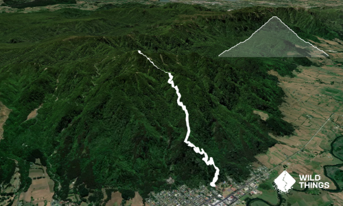
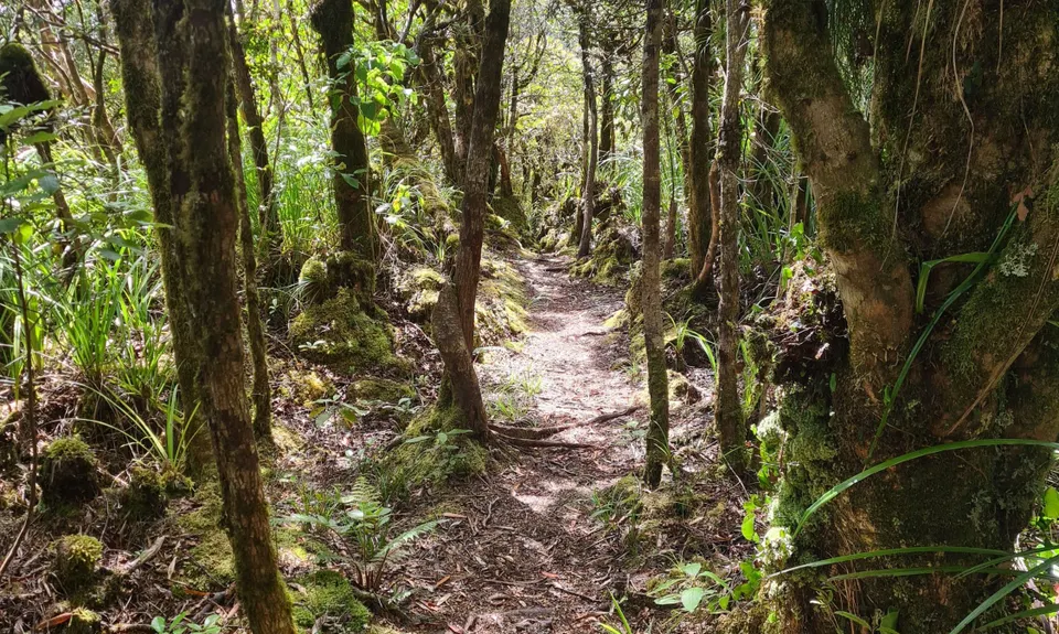
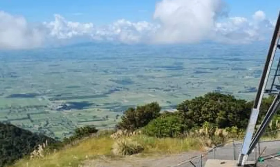
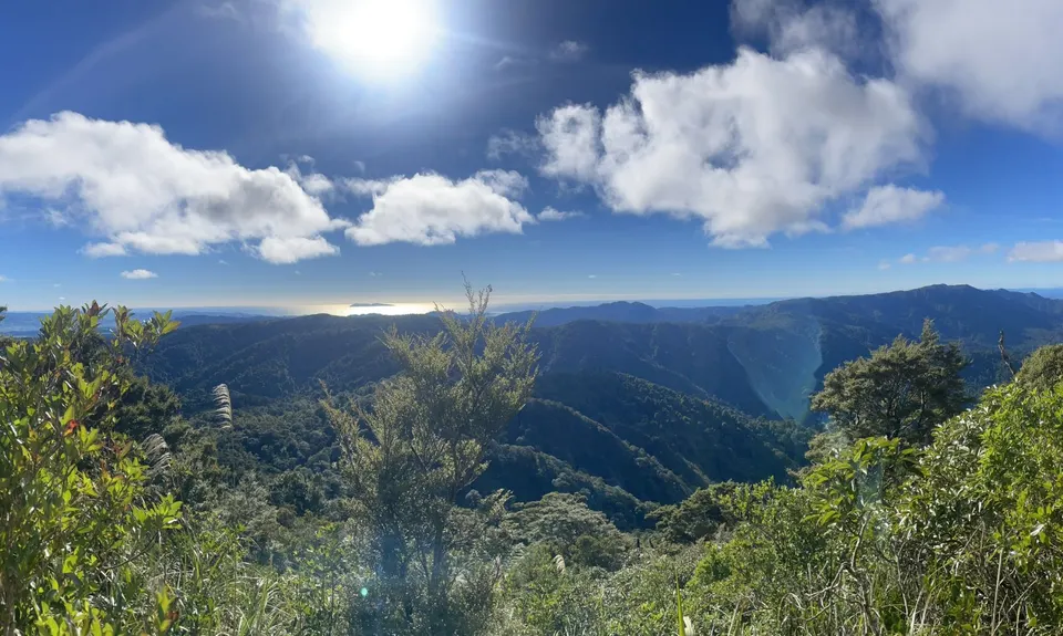
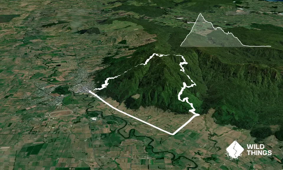
Te Aroha -Waiorongomai Loop
Last Updated: 29th Dec 2025
Grunt Factor: 30 ?
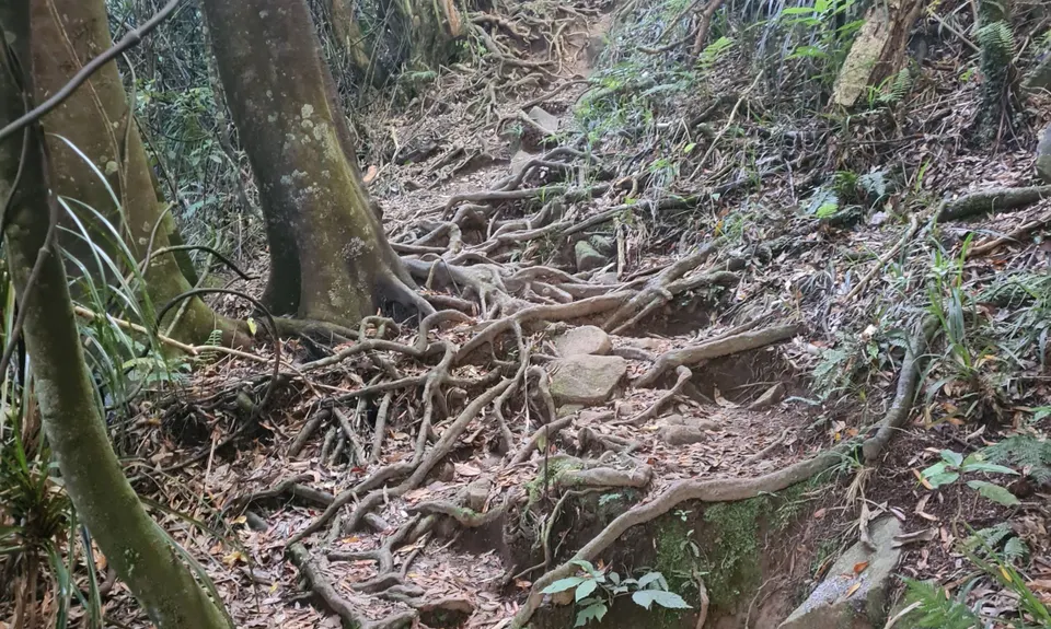
Gnarl Factor: 43 ?
18.0km
1050m
1050m
945m


Trail Map
This Topo layer only covers NSW/ACT.
Switch to another map layer when viewing outside this area.
Switch to another map layer when viewing outside this area.