Note:
(1) This run is rugged and remote. The track can be technical with rock scrambling, tree roots, uneven ground, and some sections are only lightly marked.
(2) Maps can be unhelpful, for instance topomap.co.nz depicts tracks that are closed (Cashmore), does not show the northern section of the ridgeway, and shows an outdated alignment of the pylon track. For this reason follow the detailed notes. Take a GPS.
(3) DOC do not maintain the Ridgeway: it’s only open due to the efforts of many tramping club volunteers coordinated by the Kaimai Ridgeway Trust. THANK YOU!
Start at the gate on Wairakau Rd. Go straight ahead for 1km to a sign marked “Tuahu Track”, turn left on to the forestry road, go through a stream and then at the T junction after the stream turn left again. Soon the road splits, take the right hand branch which heads steadily uphill.
Keep going to the end of the road at 2.8km. The walking track starts here: it goes steeply up through pines then at 3.1km reaches native forest and the old pack track which is easy running to the saddle at 6.9km.
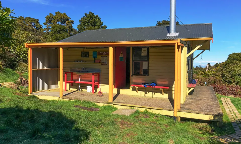
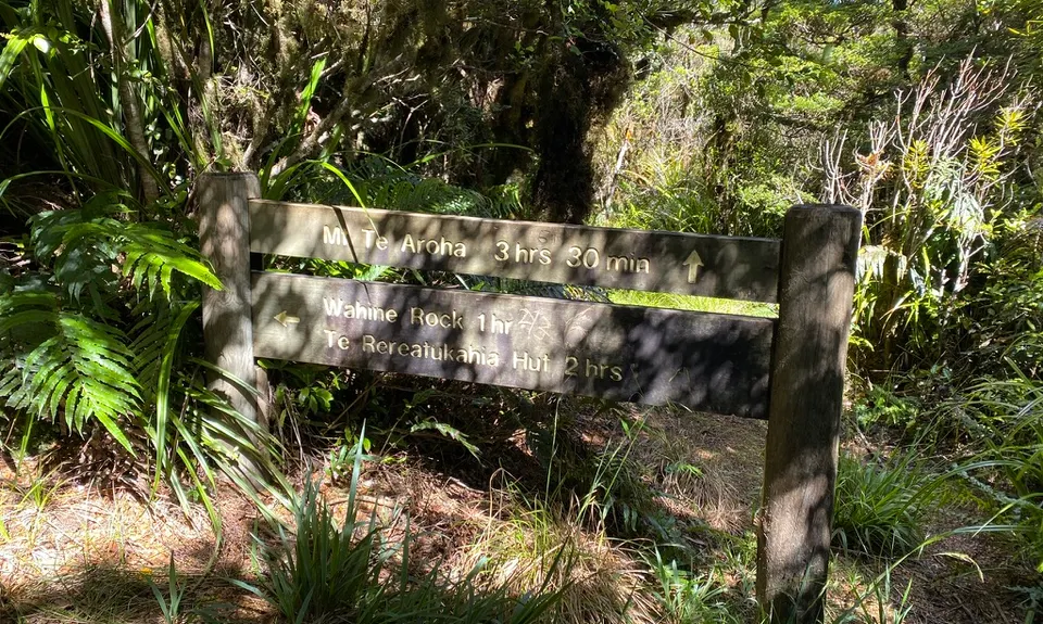
At the saddle turn hard left and go north along the ridge. The section between here and the hut has been hugely improved and is no longer a mudbath. There’s open areas near the start with great views, but it mostly heads gently uphill through forest. At 10.3km you reach the junction with the old North South track which you will follow but we recommend continuing for 5 minutes on the main track to visit Te Rereatukahia Hut, a terrific little hut, perfect place for a breather and the *only* water supply on the route. Head back to the North South track, to the DOC sign.
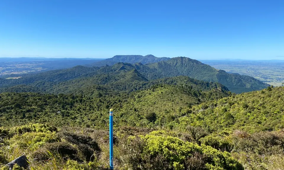
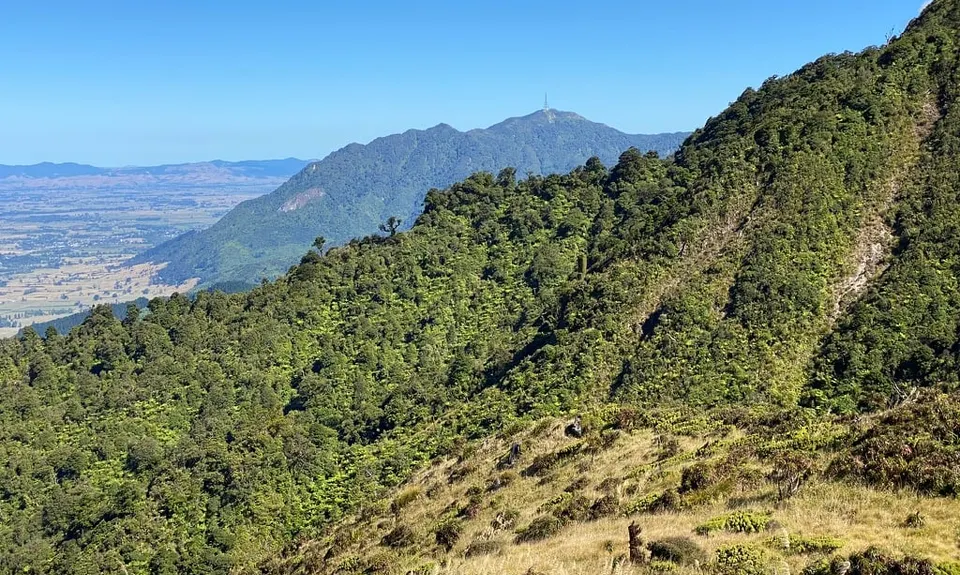
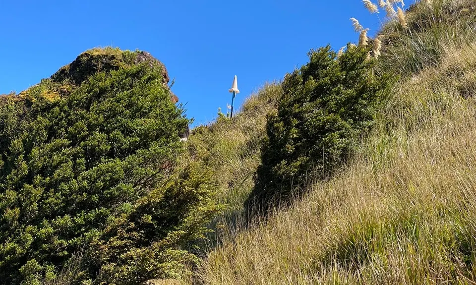
Go uphill to the grassy summit above the hut - one of the best views in the Kaimais. Soon the track plunges into the forest. The next 1.5 km or so are very rough, as you scramble past the rocky east side of Tangitu. A bit past 12 km you come to an area of patchy scrub and grass, great views but navigation from here for the next couple of km needs care. Wahine rock is prominent on the left.
At 13.8km you reach the base of a steep climb. The track can be hard to find, it is off the to the left (Waikato side) rather than straight uphill. Take your time. Eventually you go past a high point (880m, highest in the Kaimais after Mt Te Aroha), and a little further is a signpost at 14.4km. (The signpost is here because this used to be the junction with Cashmores track – Cashmores is closed now and was very overgrown even before that so stay on the ridge!)
Heading north, the track is rough for 1km then you get to the top of a rise where the terrain becomes much flatter and the forest more open and there is good running for the next 2.5km. At 18km you come to a narrow point on the ridge with an impressive bluff in front of you, this marks the start of the steep climb up to the forested summit of Pakiho at 19km. Scramble down the north side of Pakiho to the junction with the pylon track at an open area (19.6km). (Not well signposted). Head left down the pylon track which has had a lot of work and is much improved.
It’s pretty steep down to about 20.5km/450m contour, then the new alignment is good technical running all the way to the Waiorongomai river. Cross the river, pop up to the main valley track, turn left, and the carpark is 200m along. Congratulations, you ran the ridgeway!
-2jpg.jpg)