Last Updated: 7th May 2025
The Trails of Mot
Last Updated: 7th May 2025
Open
Grunt Factor: 7 ?
Gnarl Factor: 6 ?
11.0km
10m
10m
12m


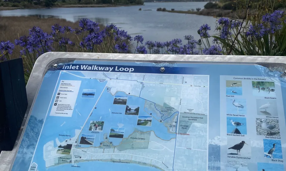
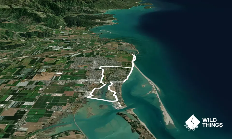
Trail Map
This Topo layer only covers NSW/ACT.
Switch to another map layer when viewing outside this area.
Switch to another map layer when viewing outside this area.


