Last Updated: 18th Oct 2025
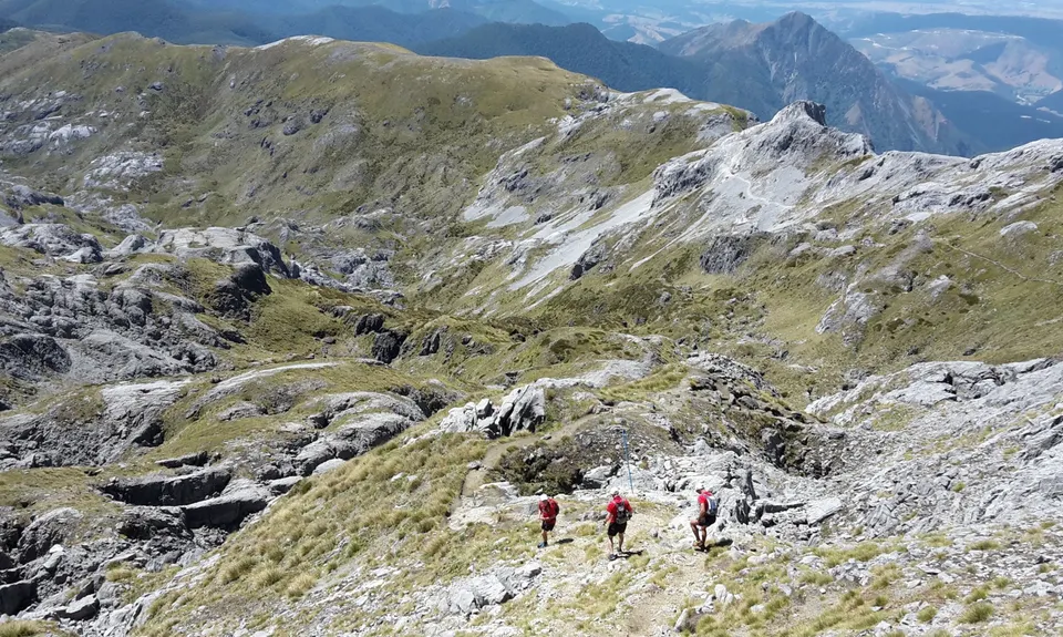
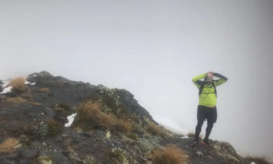
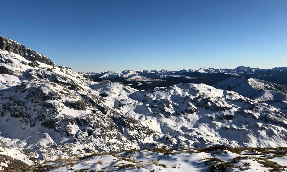
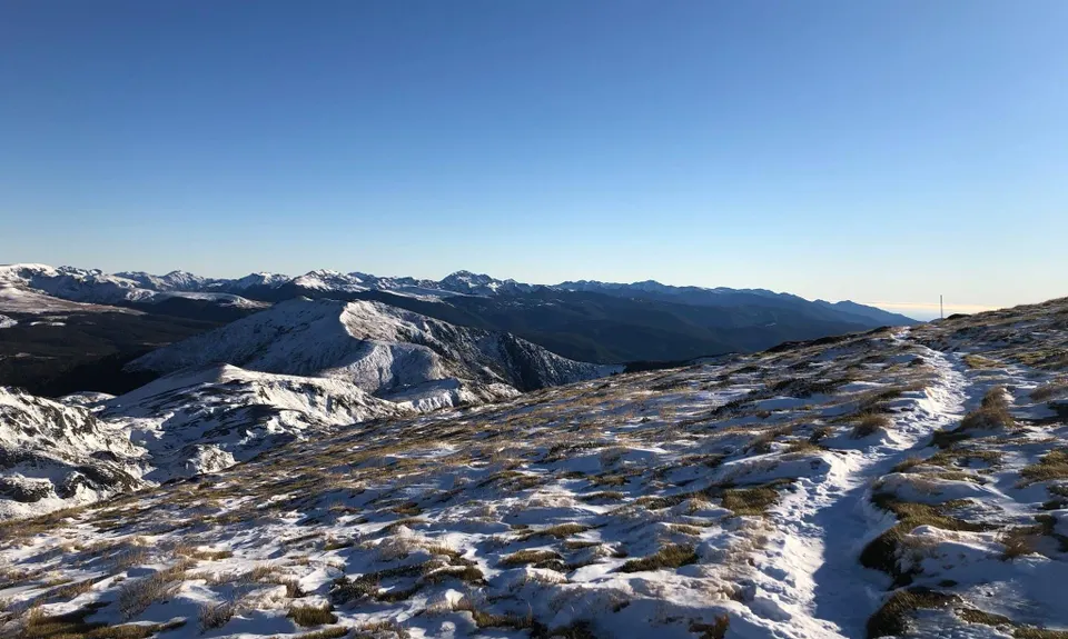
Mt Arthur Up & Back
Last Updated: 18th Oct 2025
Open
Grunt Factor: 40 ?
Gnarl Factor: 61 ?
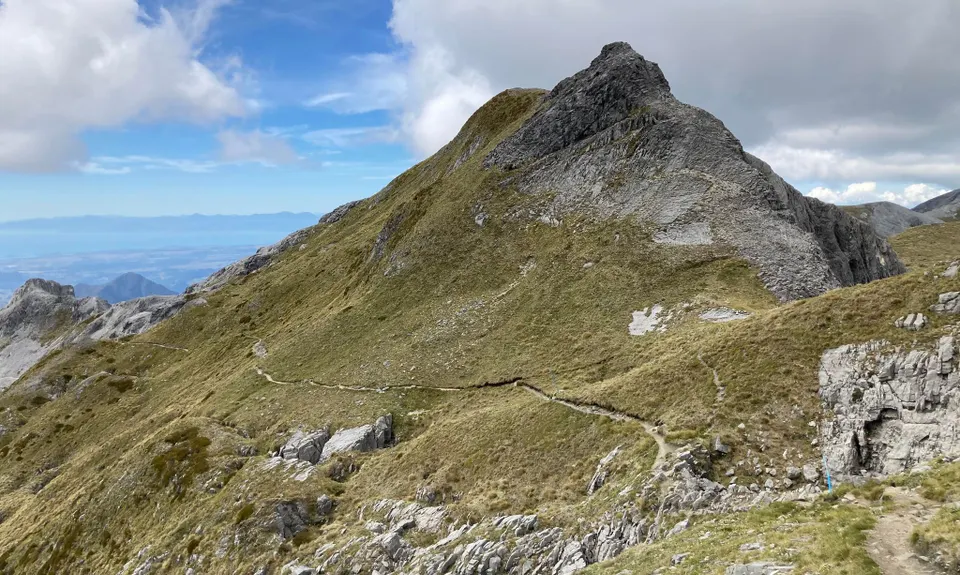
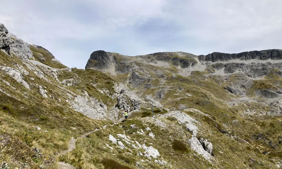
17.0km
900m
900m
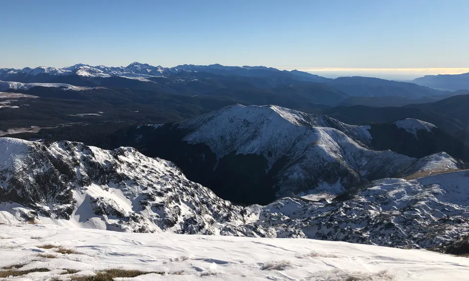
1795m
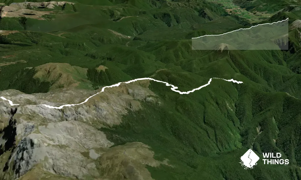
Trail Map
This Topo layer only covers NSW/ACT.
Switch to another map layer when viewing outside this area.
Switch to another map layer when viewing outside this area.


