Last Updated: 21st Sep 2023
A Slice of the South
Last Updated: 21st Sep 2023
Open
Grunt Factor: 20 ?
Gnarl Factor: 18 ?
12.1km
100m
100m
79m

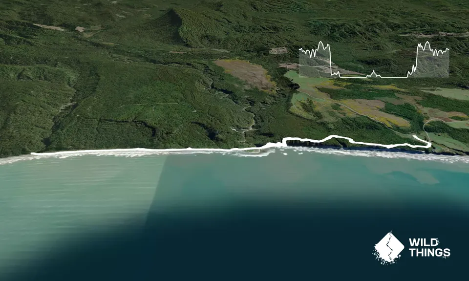
Trail Map
This Topo layer only covers NSW/ACT.
Switch to another map layer when viewing outside this area.
Switch to another map layer when viewing outside this area.


