Last Updated: 21st Mar 2024

Intermediate - Experienced

Save Trail Save

I've done it Done

Green Lake Loop

Green Lake

Green Lake Borland Biv

Tuatapere, Southland

Submitted by Daniel Parkinson

Last Updated: 21st Mar 2024

Intermediate - Experienced

Save Trail Save

I've done it Done

Open

Grunt Factor: 47 ?

Gnarl Factor: 75 ?

17.4km

1080m

1045m


Login as a VIP to see driving directions, distance and time.

Trail Map

Type of Run

Back country - remote

Loop

Undulating, some big hills

Native bush

Lakeside

Open tussock/grasslands

Open ridges/tops

Run Makeup

15%
20%
20%
45%

Gravel Road

Moderate Single Track

Technical Single Track

Untracked / Route only

Average Uphill Gradient: +12.5%

Average Downhill Gradient: -12.2%

Trailhead

Login as a VIP to see the trailhead information.

Estimated Times to Run

Not suitable

Slow

5:15

Moderate

4:00

Fast

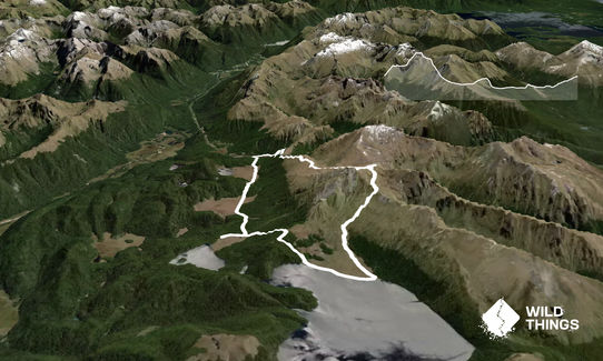
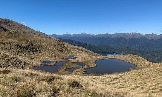
From the Borland Saddle Carpark, head up the Mt Burns route. There's a short marked section in the bush, and you'll soon come above the bushline, where fantastic views start to open up. Follow your nose through the tarns - there are no markers above the bushline and no trail until you get back to Green Lake.

Head on up a short climb, before an open basin appears. Aim for the low saddle between pt 1456 and pt 1476. A side trip to Mt Burns is worthwhile, but not included in this route. There are incredible views of Mt Burns and Green Lake from here.

Make your way down to the next basin, towards Green Lake. From here, there's a steepish drop down through tussock - you'll see a clear route down to the Green Lake shoreline. The tussock and scrub gets thicker the closer you get towards the lake. Poles are useful for scoping out the ground as there are some hidden waterways - so watch your ankles. Head towards the Eastern end of the tussock fan, which is where Green Lake Hut is.

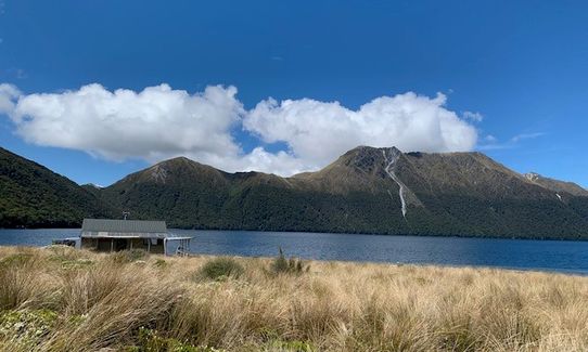
At the hut, fill your water bottles, then head West on the marked trail along the lake. This is easy running. There is a small climb through the bush, before you arrive at the marked turnoff to Island Lake. Detour a short distance for a view of this. Back on the main trail, continue through alternating bush and tussock sections before arriving at Borland Biv.

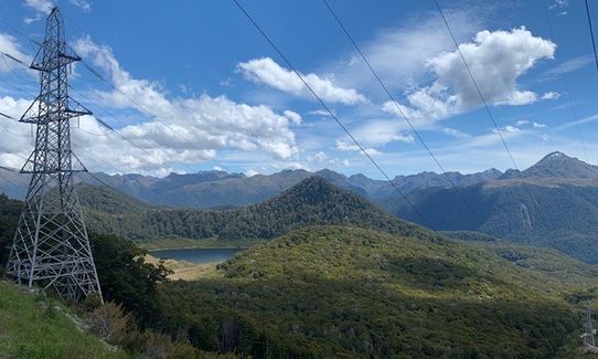
From the Biv, there's around 2.5km of gravel road that zig-zags up the hill - it sounds boring but the scenery is still spectacular so it'll go quick!
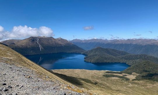
Green Lake

If you know of any public toilets near the trail start or on the route, please login and then let us know so we can update this section.

72 km

81 minutes

No

No

Hard.

You'll need a clear day to easily navigate and enjoy the best views.

Patchy.

Waterproof leggings, Thermal leggings, Short-sleeved thermal top, Long-sleeved thermal top, Seam-sealed waterproof jacket, Windproof jacket, Gloves, Beanie/thermal headwear, Personal Locator Beacon (PLB), Whistle, First aid kit, Extra food for emergencies, Survival bag, Survival blanket, Cellphone, Compass, Map, Headtorch and spare batteries, Crampons / microspikes (for winter conditions), Gaiters

Plenty of tarns, a lake and a hut with a water tank (no water at Borland Biv).

The tops are likely to be covered in snow in winter and spring, with an associated avalanche risk.

Hidden watercourses under tussock, uneven terrain.

You and Green Lake Loop

As a VIP member you can record private notes for this trail, see all of your times and more.

Register Now

Already have an account? Login now

Trail Reviews

Be the first to submit a review for Green Lake Loop!

Login to submit a review

Trail Running Community

Find people who are interested in or have completed this trail run.

You must register or login to view this feature.

Register Now

Other trails nearby
Lake Hauroko Lookout Trail

Lake Hauroko Lookout Trail

Length: 5.8km

Level: Intermediate - Experienced

Green Lake Beast

Green Lake Beast

Length: 24.5km

Level: Intermediate

Lake Hauroko and The Hump

Lake Hauroko and The Hump

Length: 42.3km

Level: Intermediate - Experienced

A Slice of the South

A Slice of the South

Length: 12.1km

Level: Beginner

Find more trails and peaks nearby