Last Updated: 28th Jun 2026
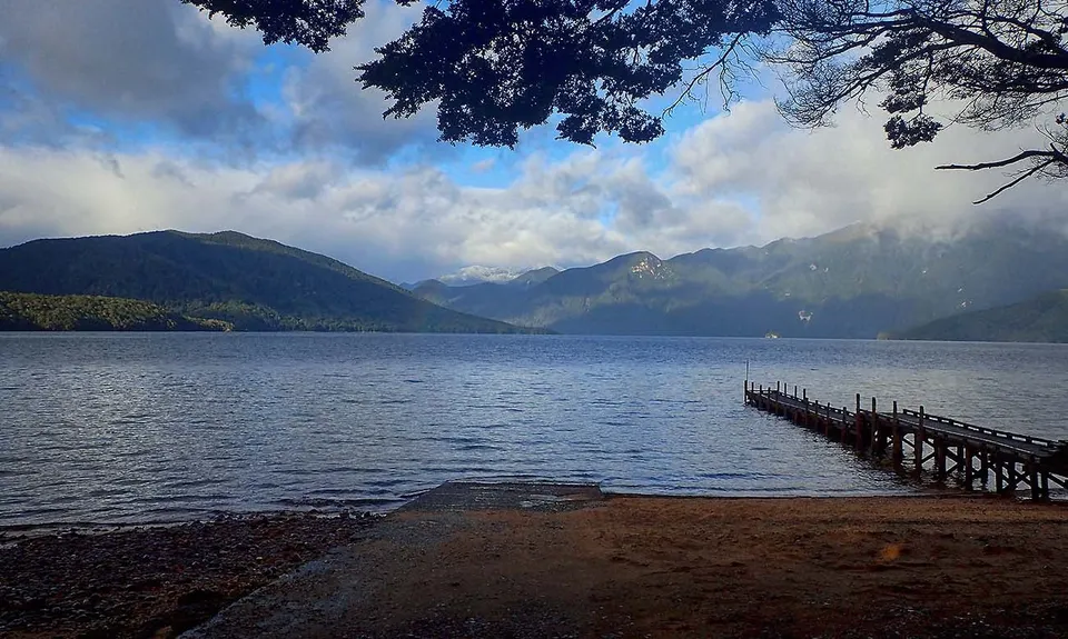
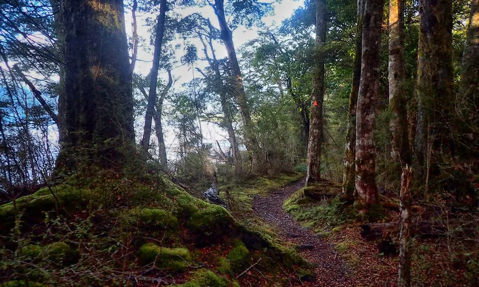
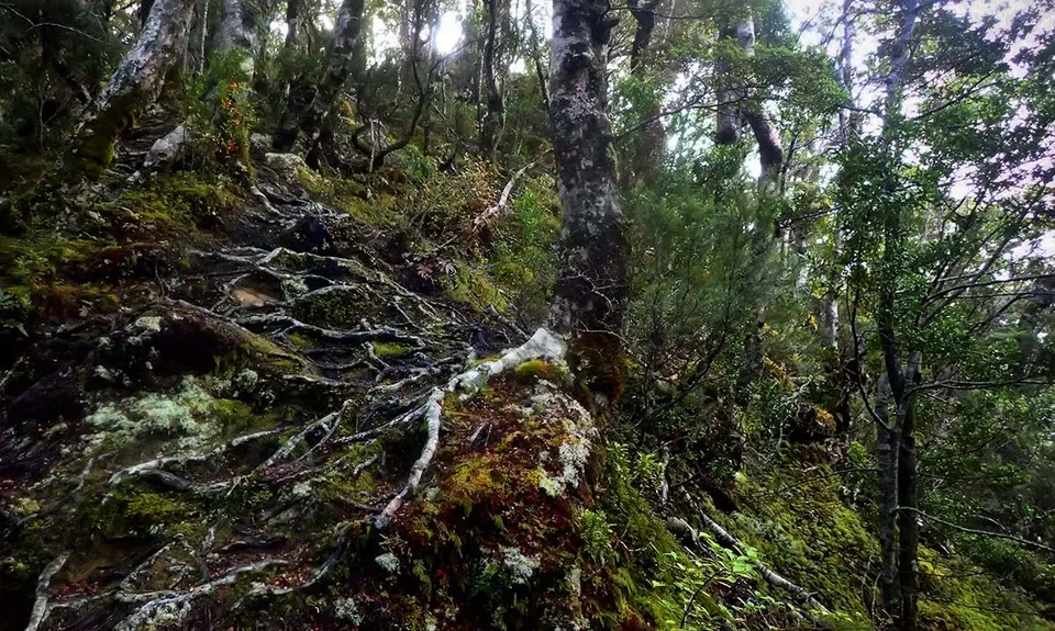
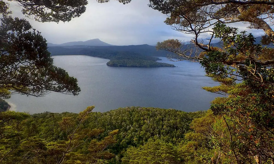
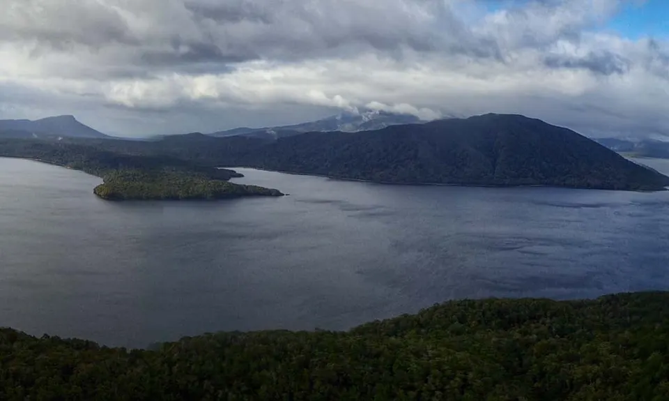
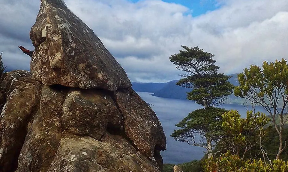
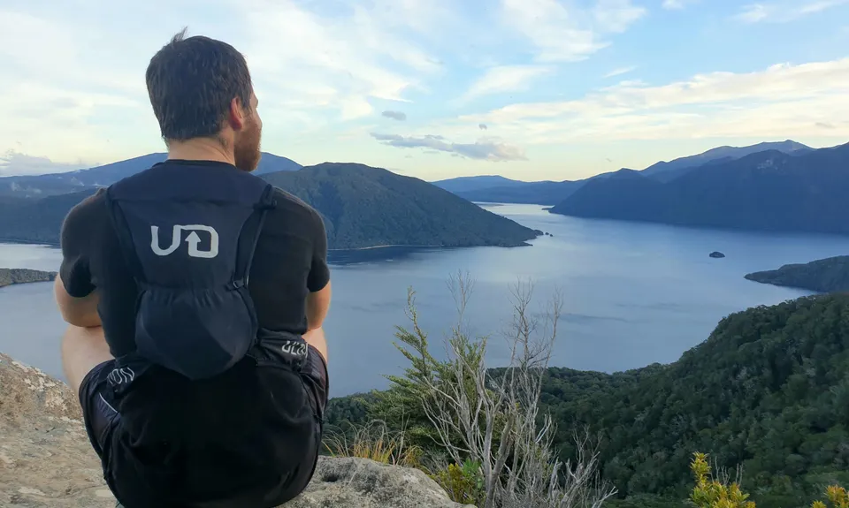
Lake Hauroko Lookout Trail
Last Updated: 28th Jun 2026
Open
Grunt Factor: 23 ?
Gnarl Factor: 72 ?
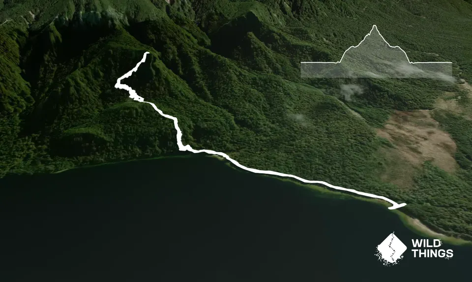
5.8km
415m
415m
536m
Trail Map
This Topo layer only covers NSW/ACT.
Switch to another map layer when viewing outside this area.
Switch to another map layer when viewing outside this area.


