Last Updated: 6th Feb 2026
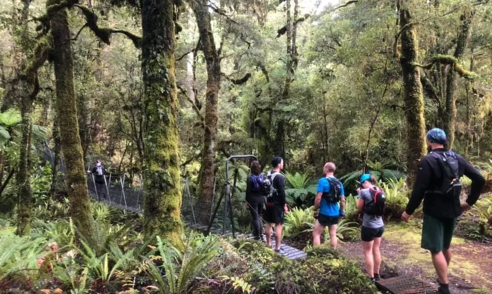
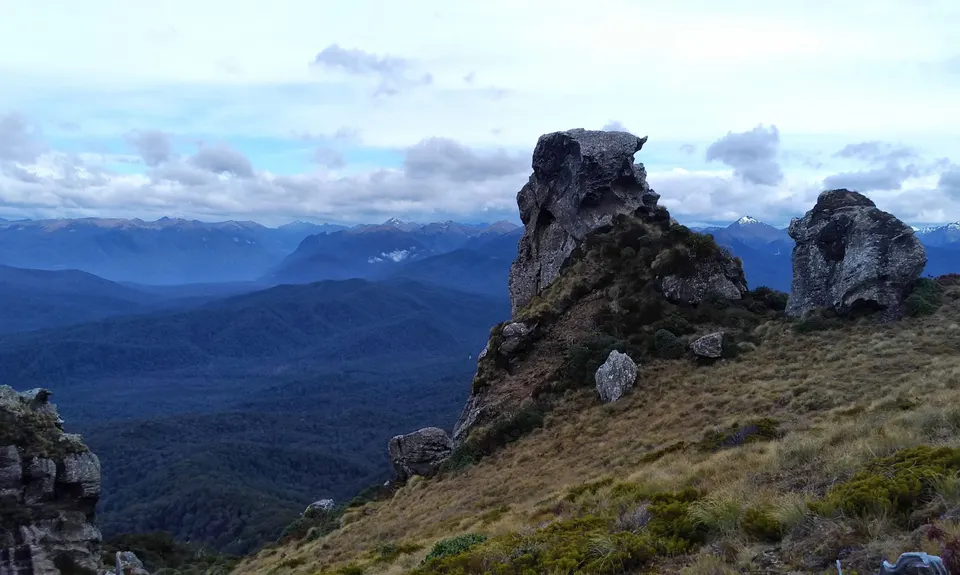
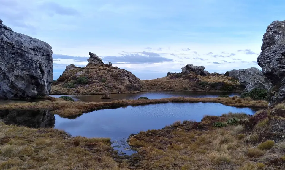
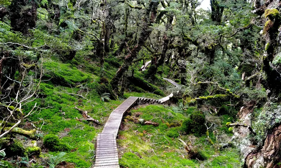
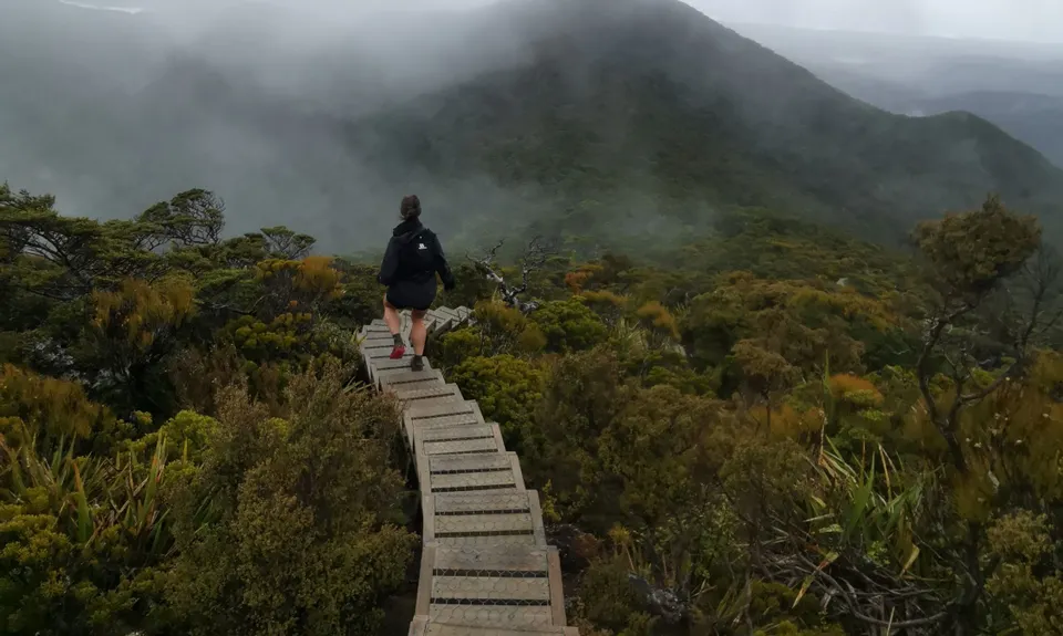
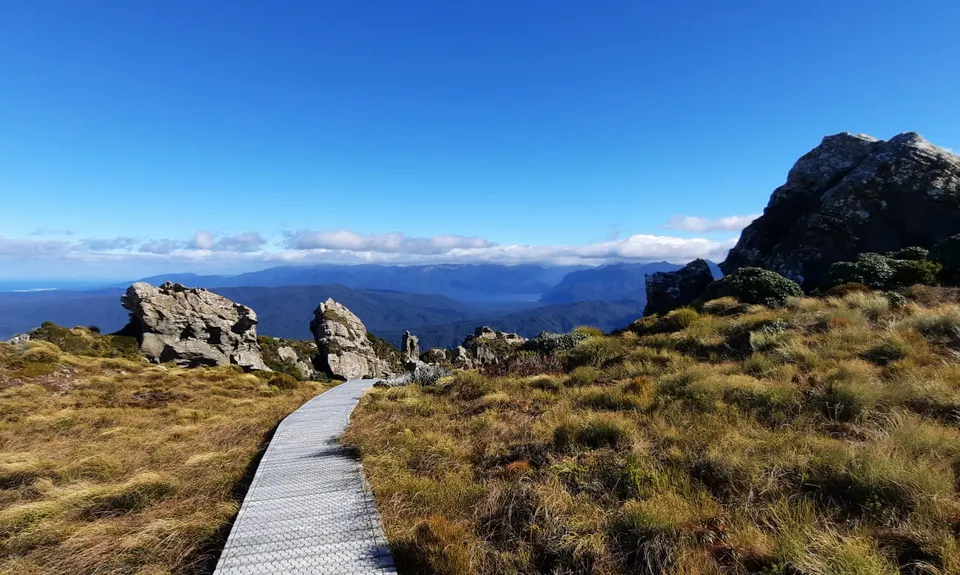
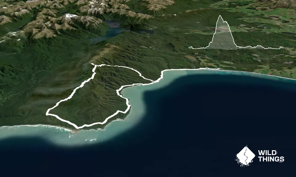
Hump Ridge Track
Last Updated: 6th Feb 2026
Open
Grunt Factor: 74 ?
Gnarl Factor: 38 ?
61.0km
1000m
1000m
978m

Trail Map
This Topo layer only covers NSW/ACT.
Switch to another map layer when viewing outside this area.
Switch to another map layer when viewing outside this area.


