Wild Things - New Zealand's trail running community
New Zealand's trail running community

Login


don't have an account?

Call me Herbert, Otago

Trail Directory proudly supported by Further Faster

Update Your Header Picture

Call me HerbertBeginner

Submitted by Mike Tennent

Info Info
Map Loading

Trail Information

6.90km

410m

410m


Otago

Oamaru

Front country - easily accessible

Combo

Undulating, small hills only

Native bush
Plantation/exotic forest
Riverside

Beginner

1:30 (Slow)
1:00 (Moderate)
0:45 (Fast)

-12.5%

+13.2%

Download PDF Guide

Fastest Known Times (FKTs)

Please set your gender to see your position on the FKT leaderboards.

Men

Women

Filter FKTs

The more , the harder the FKT will be to beat. Learn about Fastest Known Times.

Missing your time?

Register or login as a VIP and get yourself on the FKT leaderboard!

Register Now

Description

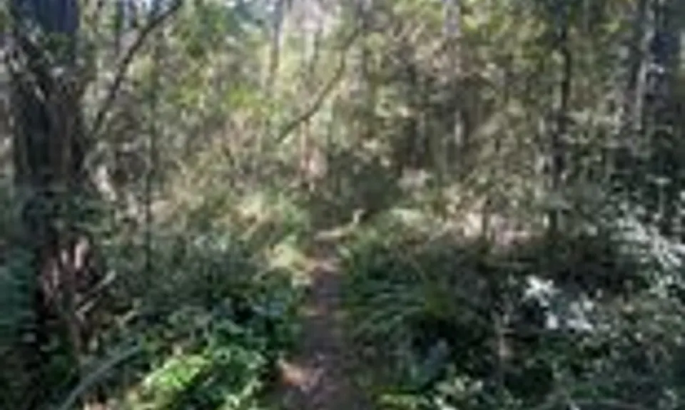
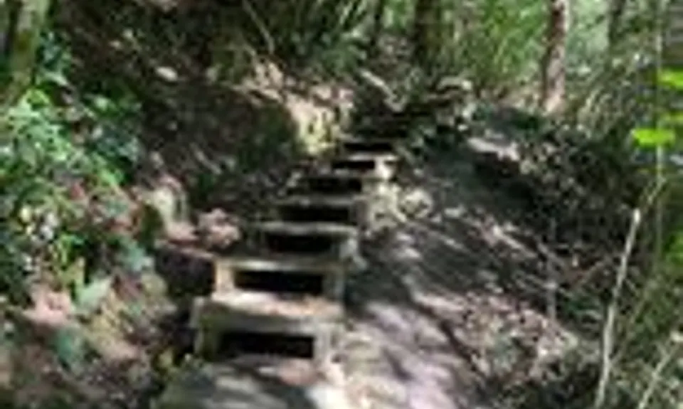
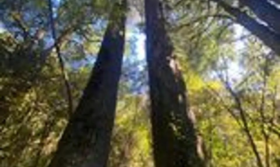
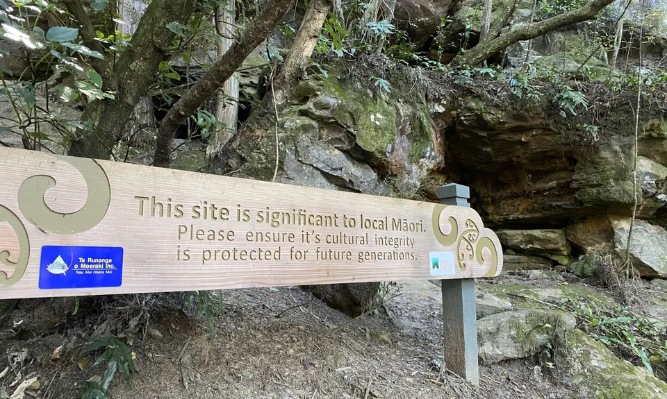
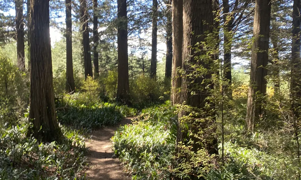
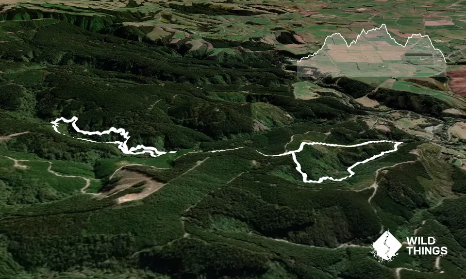
From the carpark there are two entrances to Swallow Track, take the left hand one and follow some lovely trail which gradually starts to climb a bit more steeply with more than a few steps thrown in. Take time to have a quick look at the wee cave that is clearly signposted, nothing special but worth a look.

After 1.5km you come to an intersection, right takes you back to the carpark and we are going down there later, but for now, turn left and follow the single trail to the forestry road, if you look straight ahead of you you will see the sign for the trails... take the time here to note where you come onto the road as it is not signposted on the way back. Head up the road for about 400m and you will see a large sign for Podocarp Track.... head in there and down... let loose and enjoy the down, as you will be coming back up later.

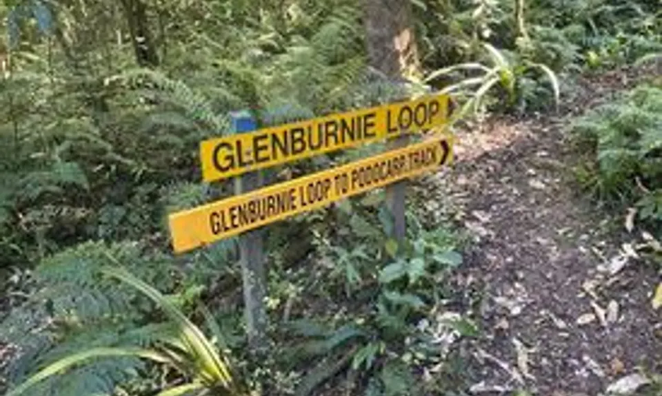
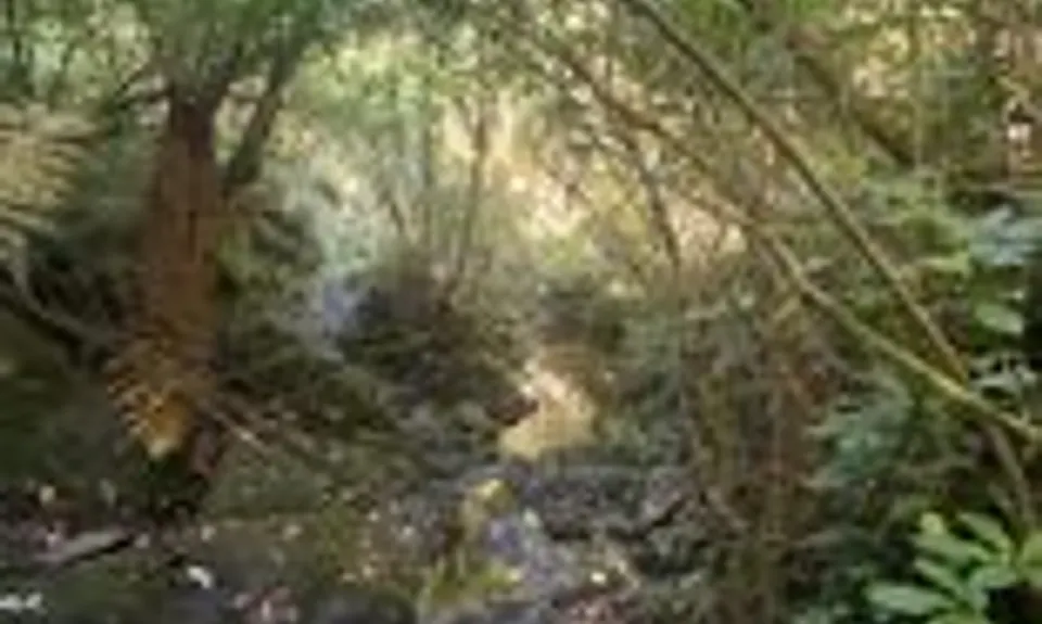
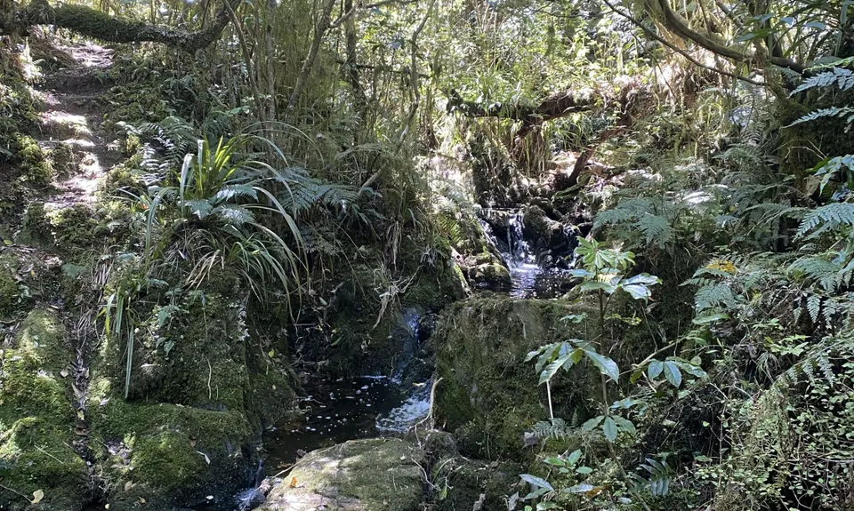
After about 300m you will come to another intersection, turn right onto Glenburnie Loop and follow this to the end, there are no side trails so all easy. At the end of Glenburnie are a series of signs, you are taking the "Podocarp to Swallows Track" direction (unless you feel like exploring). This trail will eventually go past the Glenburnie turn-off we took earlier and spit you back out on the forestry road... but not before a whole lot of stream crossings, all dry-feet ones though with a bit of care.

On the road turn left and re-trace your steps to the first sign we came to (at 1.5km) and take the left hand trail to complete the Swallow Track and take you back to the car - with a couple of helter-skelter downhills.


Trail Community

Find people who are interested in this run.

You must register or login to view this content.

Features of interest

Some amazing Podocarps, a cute wee 'semi-cave' and lots of birdlife.


Make Up of Run

Untracked / Route only: 0%

Technical Single Track: 20%

Moderate Single Track: 30%

Easy Single Track: 40%

Farm Road / 4WD Track: 0%

Gravel Road: 10%

Sealed Road: 0%


Route Data

Reviews:

You must register or login to view this content.


Overlapping Runs

The following trails overlap with this run to some degree. You may wish to combine them but please note that to qualify for FKTs on these runs you should record a separate Strava activity for each

Herbert Dabs

Herbert Dabs

Length: 11.60km


Photos:

You must register or login to view this content.

Your Trail Wishlist

All the runs that are on your To Do list (no limit).

Add to wishlist view wishlist

Your Trail Dreamlist

The runs you most want to do (limited to 10).

Add to dreamlist view dreamlist

Wild Explorers

I did it!
  • Access

    Just South of Herbert on State Highway 1 is Breakneck Road, turn onto that road and follow it to the end where you have the option to go left or right, you will see signs with directions to the various trails... you are heading for Swallow Track, which is left and then almost immediately right. About 200m up that gravel road is a dead end and carpark.

    Room for about 8 cars comfortably in the carpark

    27 km

    24 minutes

    No

    No

  • Staying Safe

    Easy.

    Very patchy.

    Long-sleeved thermal top, Seam-sealed waterproof jacket, Gloves, Beanie/thermal headwear, Personal Locator Beacon (PLB), Whistle, First aid kit, Extra food for emergencies, Survival bag, Cellphone, Map.

    Water at several place on the run

    The trail can become very slippery on a wet winter day, especially the final downhills.

    Several places with narrow tracks and fall-offs. Also stream crossings and green rocks should always get your respect.

  • Sponsor this trail

    If you are interested in learning about sponsorship opportunities, please get in touch below:

    Submit

Got a favourite trail? Tell us about it.

Share the love and add your favourite trail(s) to our growing trail directory.

Submit A Trail

Become a member today

Start enjoying the many benefits to becoming a member of our thriving community.

Become a member

Great brands at great prices with our VIP member's discount

Stay up to date

Sign up to our newsletter for latest offers and trail guides

Share this trail with a friend:

VIP Membership

Please register as a VIP or login to your VIP account to view this content.

Cancel Login Register

Membership Required

You can see up to three trail guides without being logged in but after that we require you to be logged in to your Free or VIP account. If you don’t yet have an account you can register here.

Login Register