Last Updated: 2nd May 2026
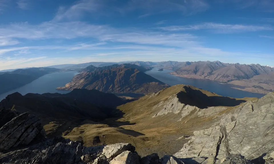
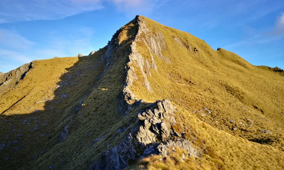
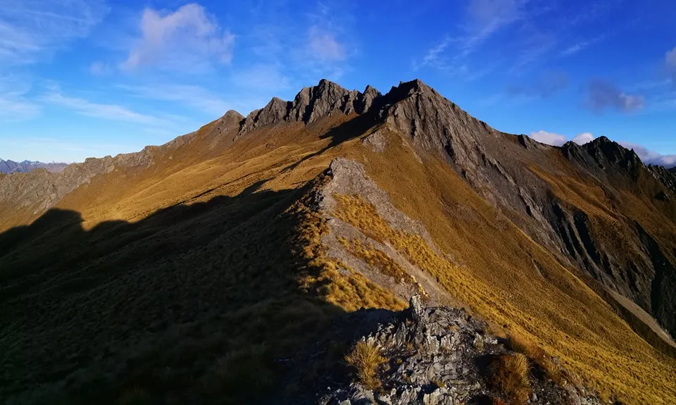
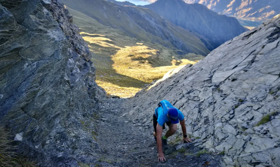
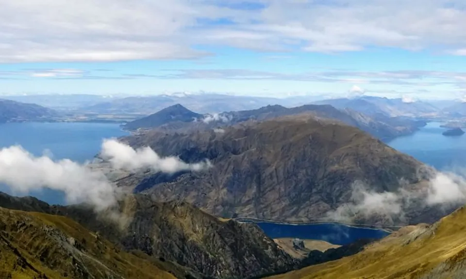
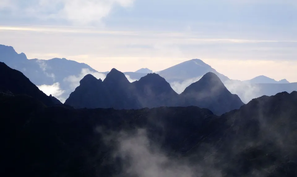
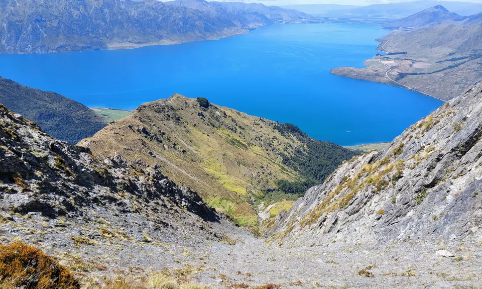
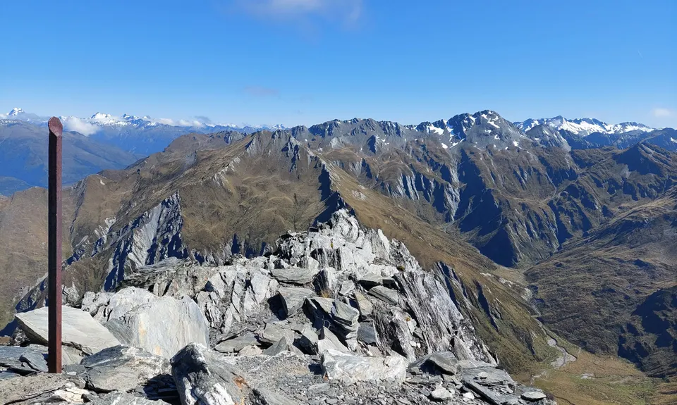
Sentinel Peak
Last Updated: 2nd May 2026
Open
Grunt Factor: 50 ?
Gnarl Factor: 84 ?
14.8km
1870m
1870m
1806m
.jpg)

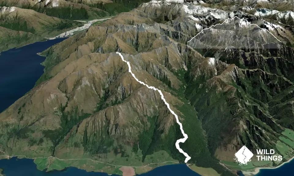
Trail Map
This Topo layer only covers NSW/ACT.
Switch to another map layer when viewing outside this area.
Switch to another map layer when viewing outside this area.