Last Updated: 17th Sep 2024
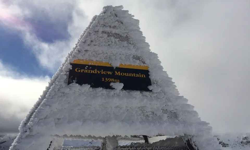
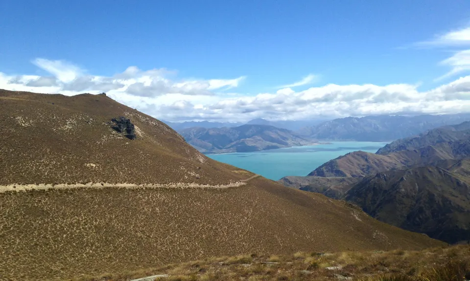
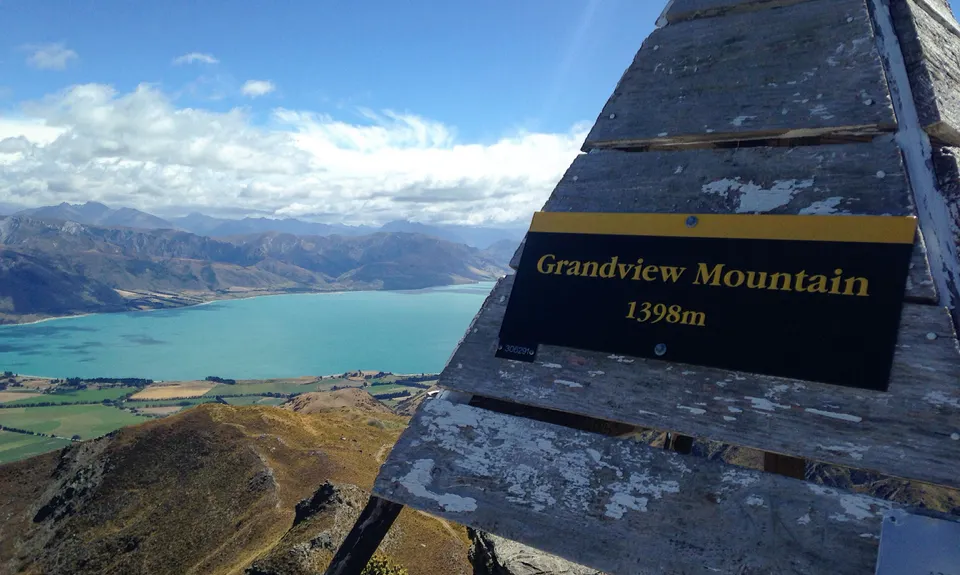
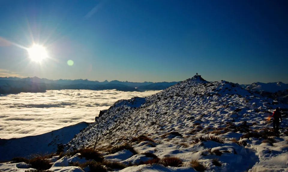
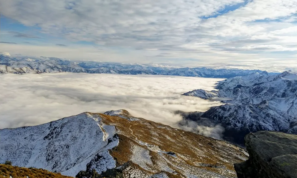
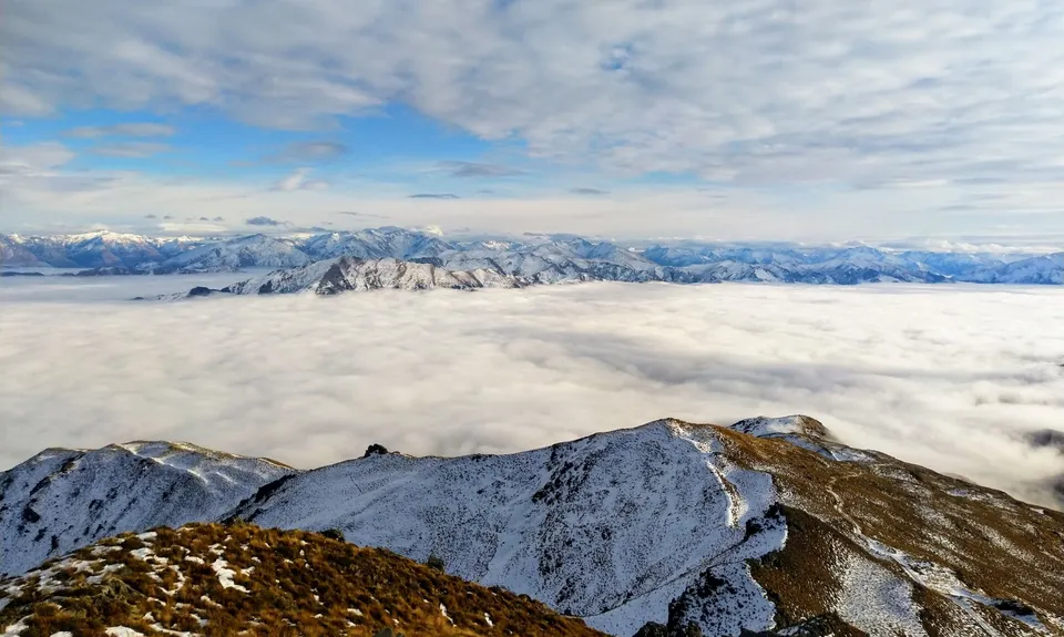
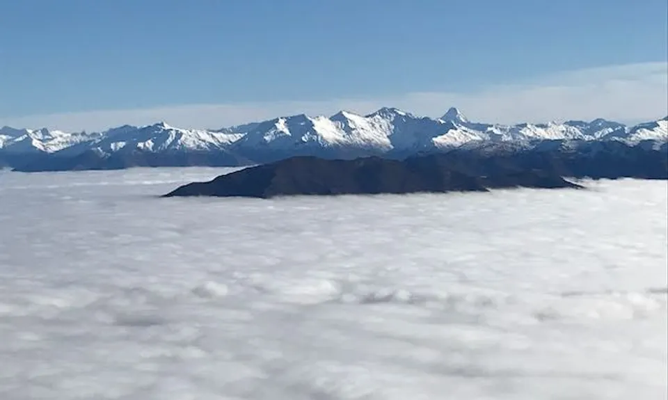
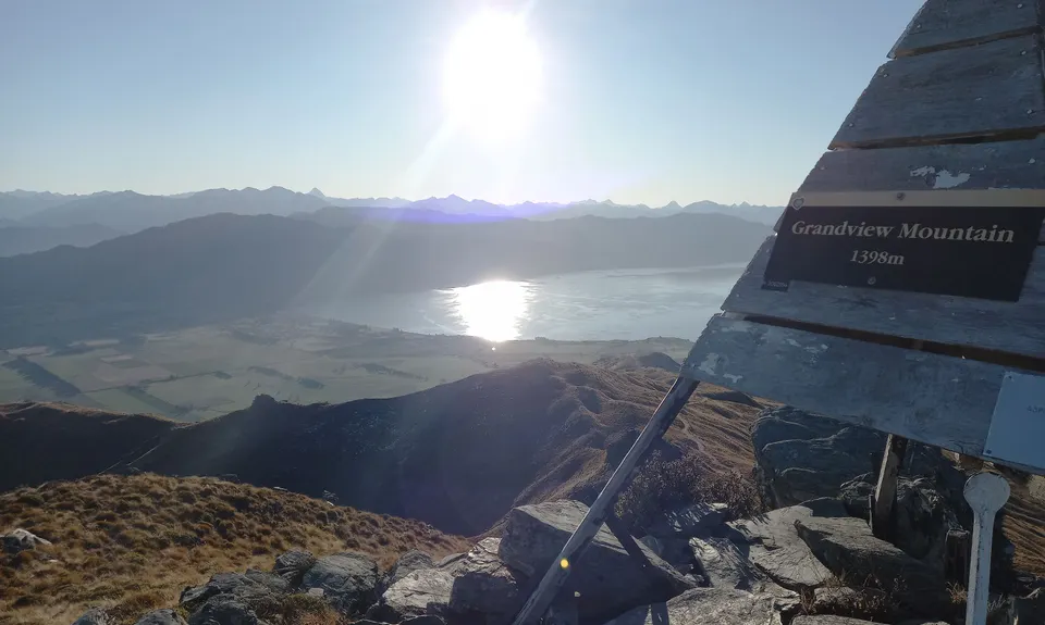
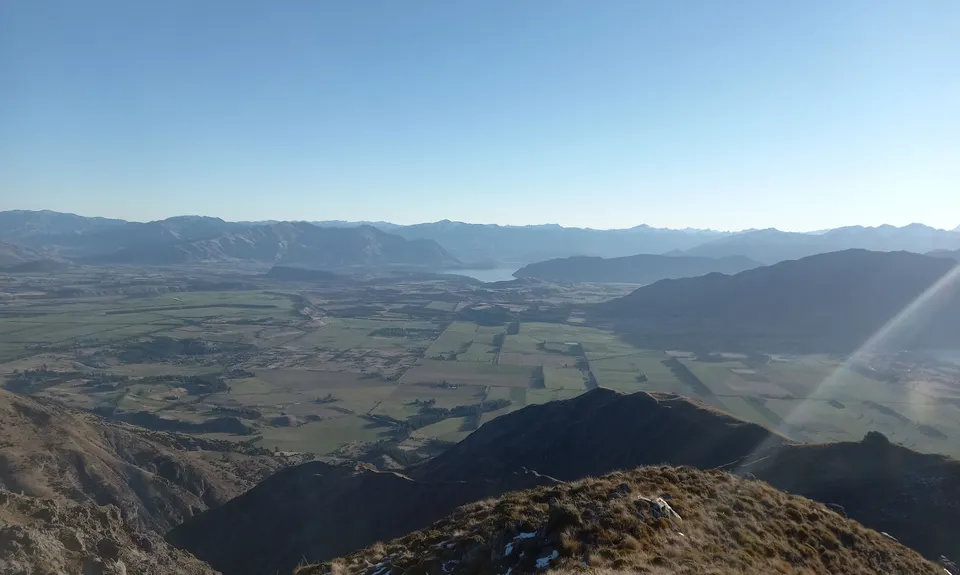
Grandview Mountain
Last Updated: 17th Sep 2024
Grunt Factor: 26 ?
Gnarl Factor: 23 ?
18.0km
950m
950m
1398m


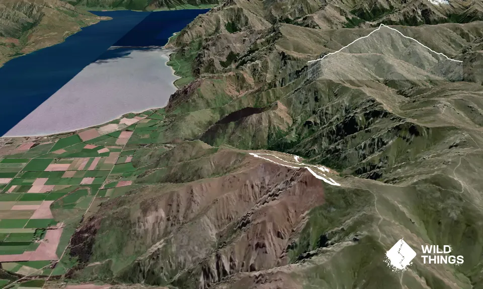
Trail Map
This Topo layer only covers NSW/ACT.
Switch to another map layer when viewing outside this area.
Switch to another map layer when viewing outside this area.


