Last Updated: 10th Sep 2025
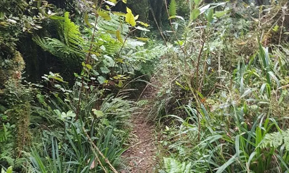
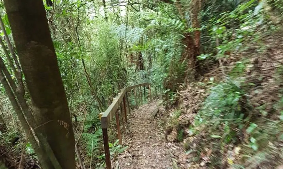
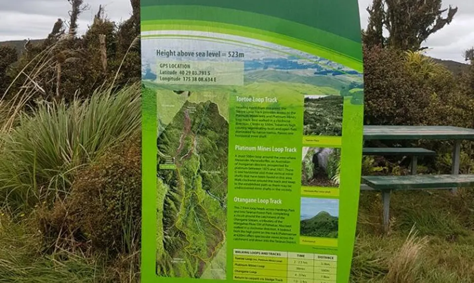
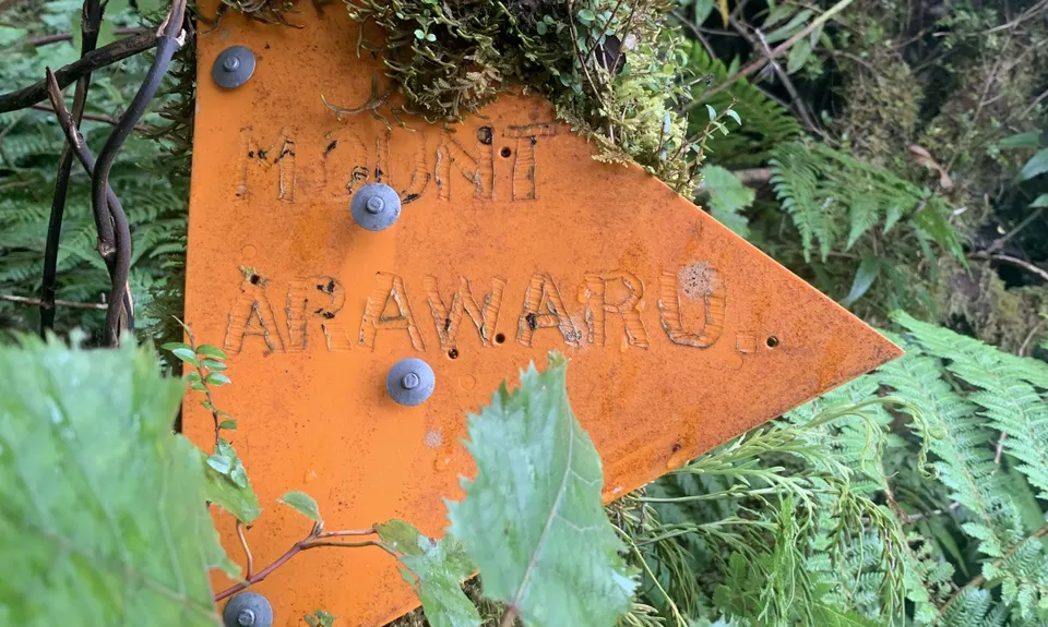
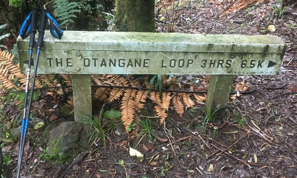
Sledge Track with Toetoe Loop & Otangane Loop
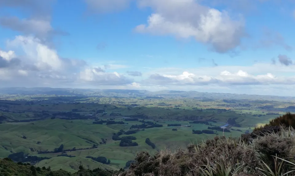
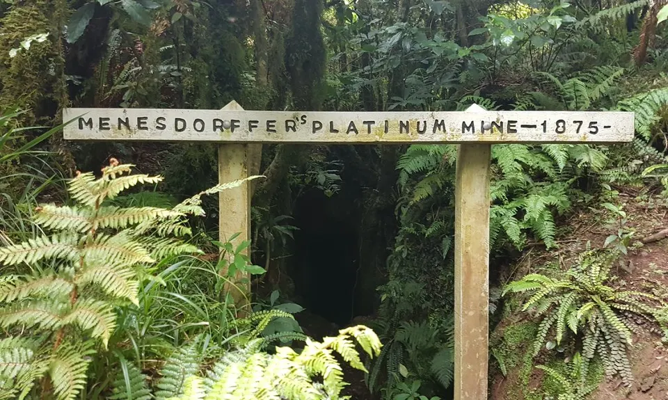
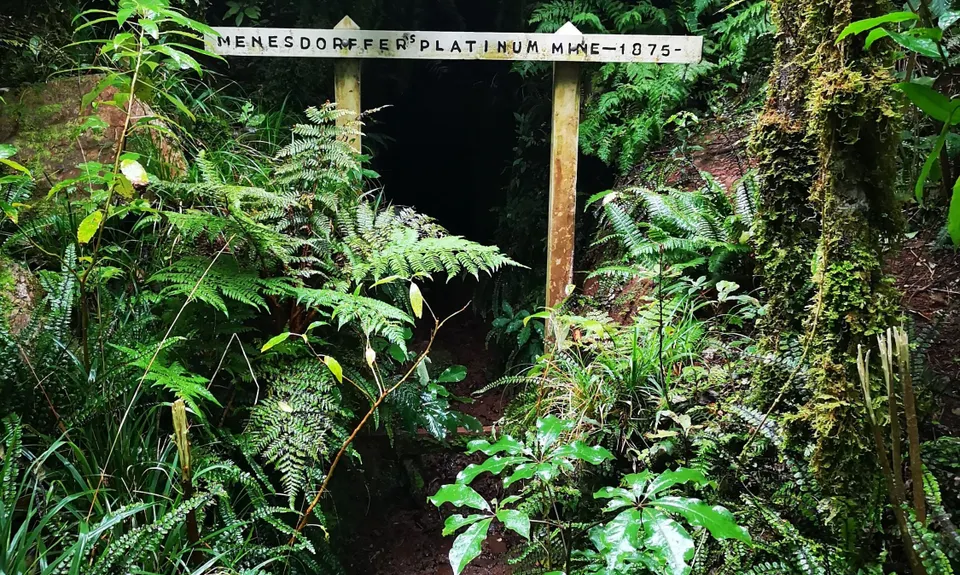
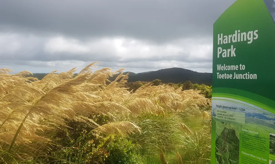
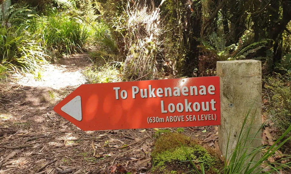
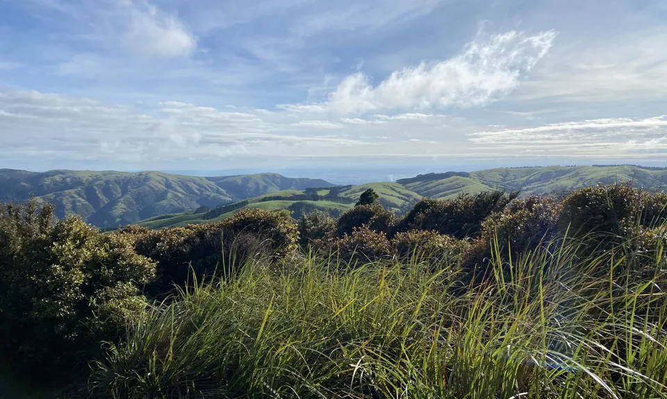
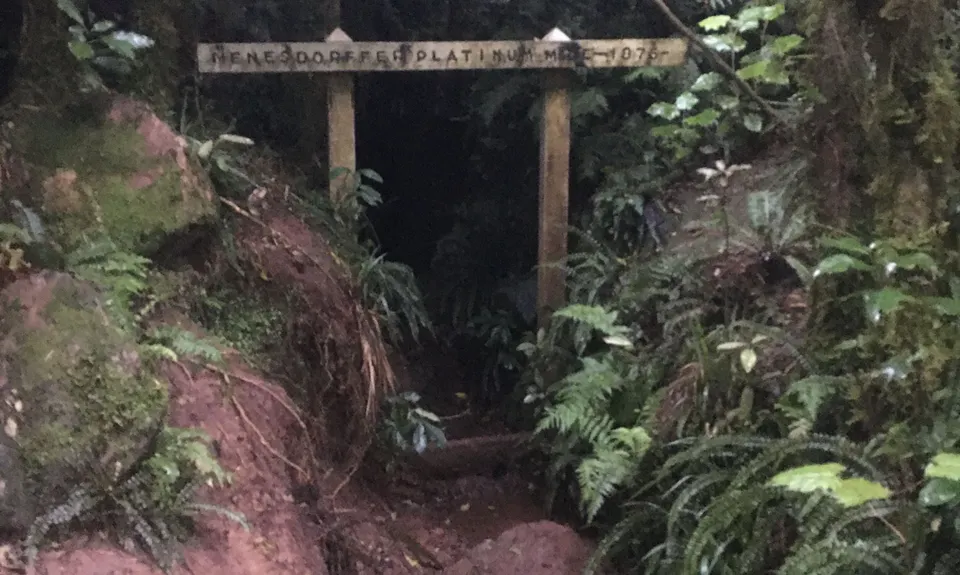
Fould's Falls, Pritchard's Point, Yeti's Lookout, Toe Toe Junction
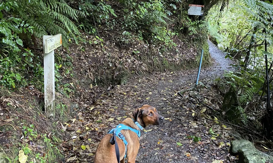
Sledge Track, Toe Toe Loop Track, Otange Loop Track
Last Updated: 10th Sep 2025
Open
Grunt Factor: 38 ?
Gnarl Factor: 56 ?
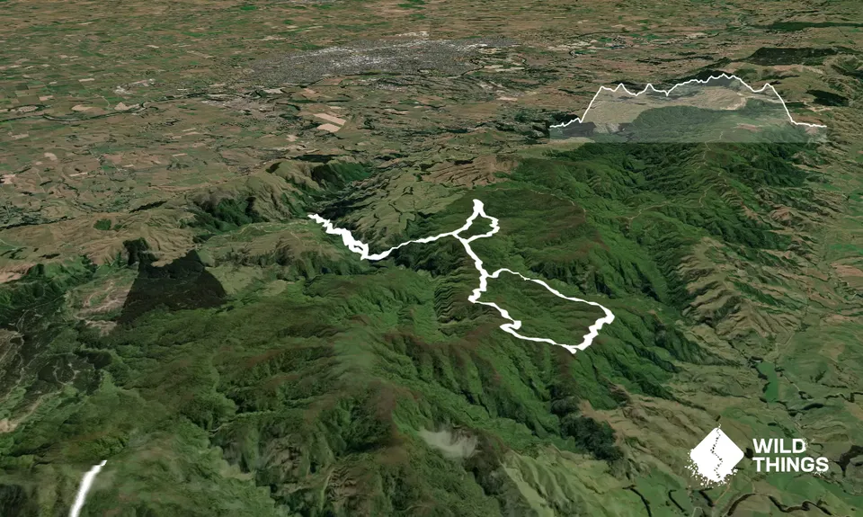
19.1km
1230m
1230m
634m
Trail Map
This Topo layer only covers NSW/ACT.
Switch to another map layer when viewing outside this area.
Switch to another map layer when viewing outside this area.


