Last Updated: 21st Sep 2023
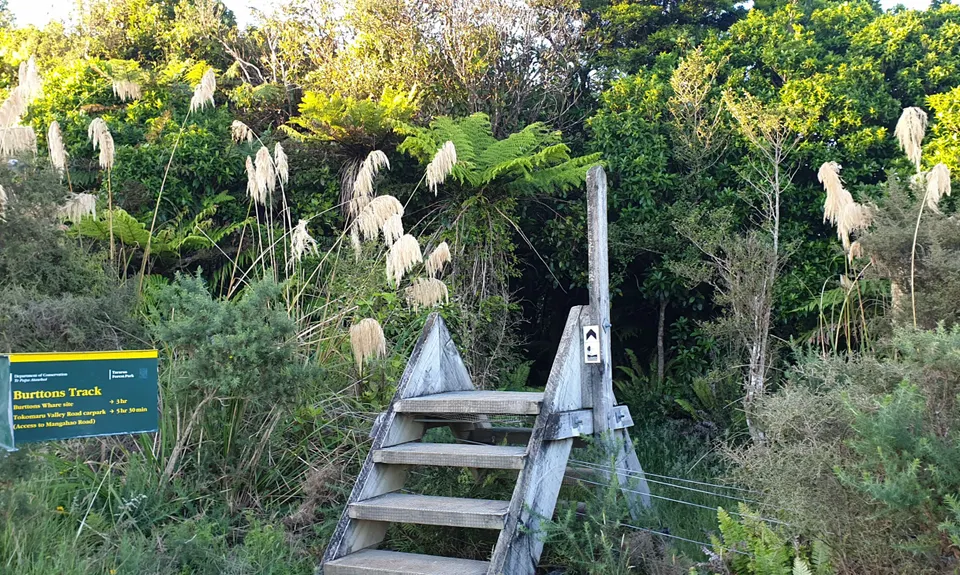
Burrton's Track Return
Last Updated: 21st Sep 2023
Open
Grunt Factor: 40 ?
Gnarl Factor: 22 ?
34.0km
1210m
1210m
500m
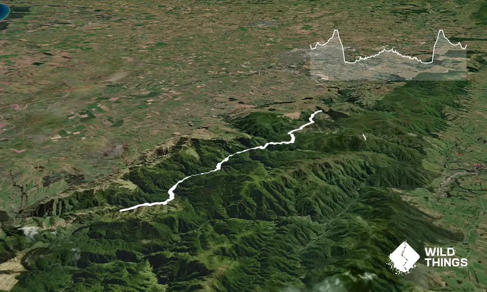
Trail Map
This Topo layer only covers NSW/ACT.
Switch to another map layer when viewing outside this area.
Switch to another map layer when viewing outside this area.


