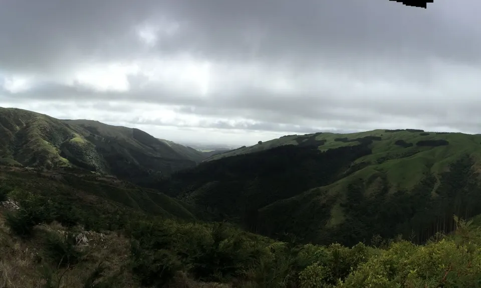
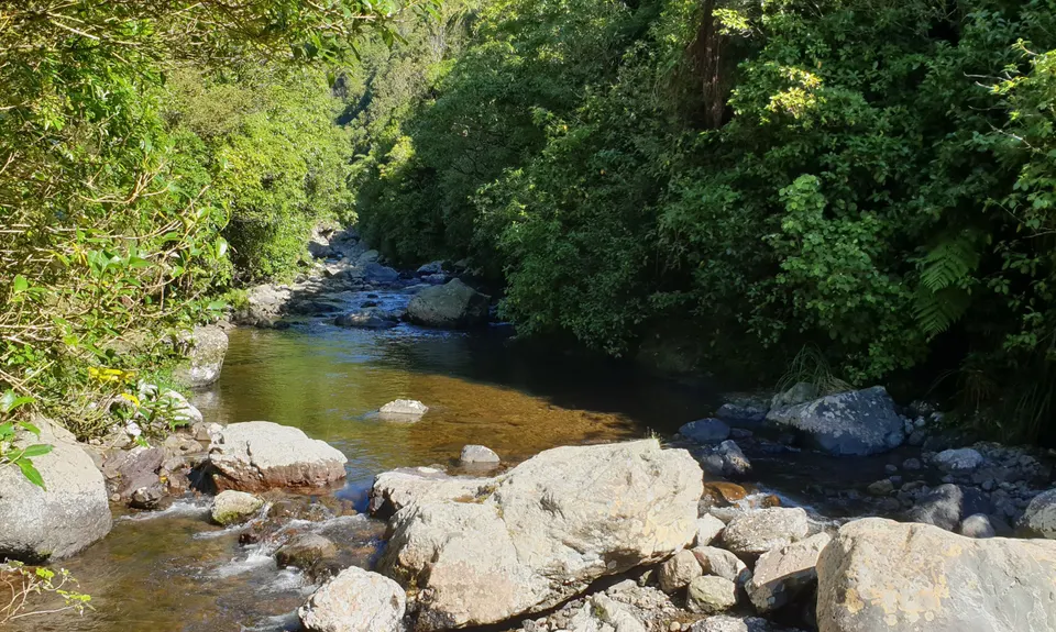
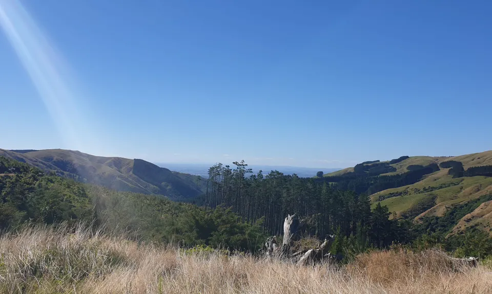
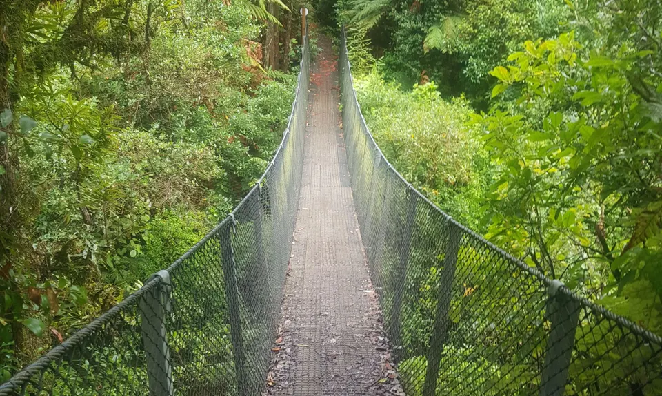
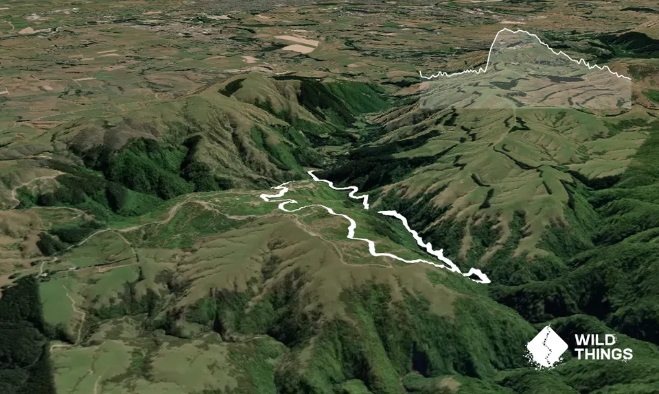
Sledge-Arapuke Swing Bridge ClimbBeginner - Intermediate
Submitted by Tim Carpenter
Front country - easily accessible
Loop
Undulating, some big hills
Native bushPlantation/exotic forest
Beginner - Intermediate
1:30 (Slow)
1:10 (Moderate)
0:45 (Fast)
-13.5%
+15.6%
Fastest Known Times (FKTs)
Men
Women
Filter FKTs
The more , the harder the FKT will be to beat. Learn about Fastest Known Times.
Description
From the carpark, head up the road and continue up the L) trail (don't cross bridge) along the Sledge track. The track is well formed and has a few little climbs up steps and slopes. This is running through the native forest.
Around 2.5km in, there will be the swing bridge on the R) side. Head across the bridge. If you are on Strava there is a FKT segment for the climb up this side. The climb is steep, with switchbacks and can be slippery, once you reach the top it will open into the deforested area. Once on the top, you are following the signs to the R) toward the Carpark (if confused generally just continue straight on), undulating along prior to dropping down to the main intersection with the Mountain Bike trails.
This is ZIg Zag Road, and there is a large concrete pipe and park map in front of you. Go through the pipe and then continue for 20 metres before turning onto Pupurahi (mountain bikes use this as an uphill), make sure you don't enter the trails marked with a No Walking sign. Follow Pupurahi down until you reach the native forest again and you will come out onto Back Track. Turn R) and this will take you back down to the beginning area, around 1km.
If you need to run further, then do another loop in reverse :-D
Trail Community
There are currently no members to show for this trail.
Features of interest
Arapuke Swing Bridge is new in 2017 to link Sledge Track and Arapuke Mountain Bike Park, spanning approx 20 metres across the stream below.
Make Up of Run
Moderate Single Track: 50%
Easy Single Track: 30%
Farm Road / 4WD Track: 20%
Route Data
Reviews:
Photos:
Your Trail Wishlist
All the runs that are on your To Do list (no limit).
Add to wishlist view wishlistWild Explorers
I did it!-
Access
From Old West Road, take Kahuterawa Road to the car park at the end. The last 3km of the road is narrow gravel road. Watch for mountain bikers.
Old West Road (SH57) links Summerhill Drive and Tennent Drive.Large carpark at the end with toilet. No public transport.
18 km
26 minutes
No
No
-
Staying Safe
Moderate.
Make navigation of this route super-easy by using the Capra app on your phone. View on Capra .
Track is generally well marked, there is some cell phone reception.
Once in the Arapuke Mountain bike park, the trails will eventually lead you down to the finish.Patchy.
Seam-sealed waterproof jacket, Whistle, Cellphone.
There is no readily available water, carry your own out there.
Can be exposed to the elements up on top of the hill
Once in Arapuke Mountain Bike Park, watch out for mountain bikes.
-
Sponsor this trail