Last Updated: 15th May 2024
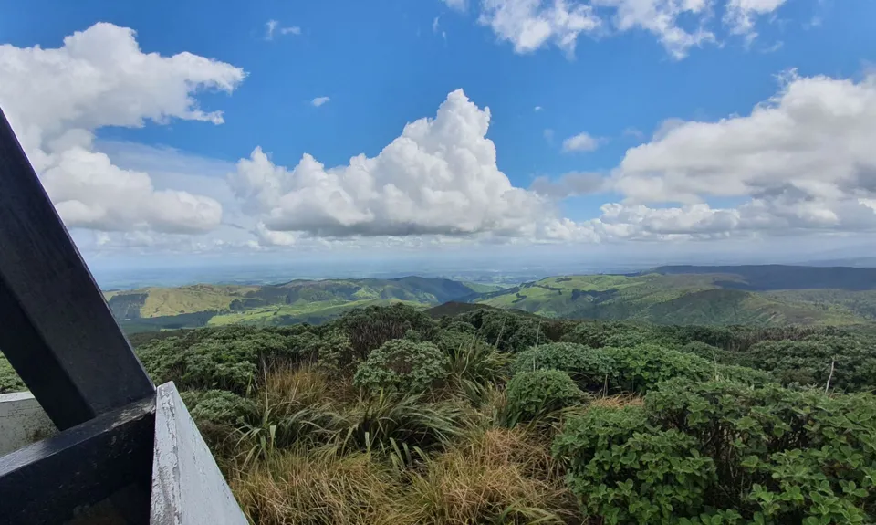
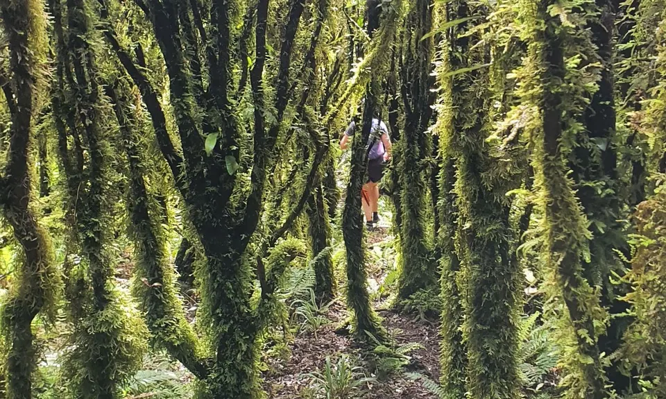
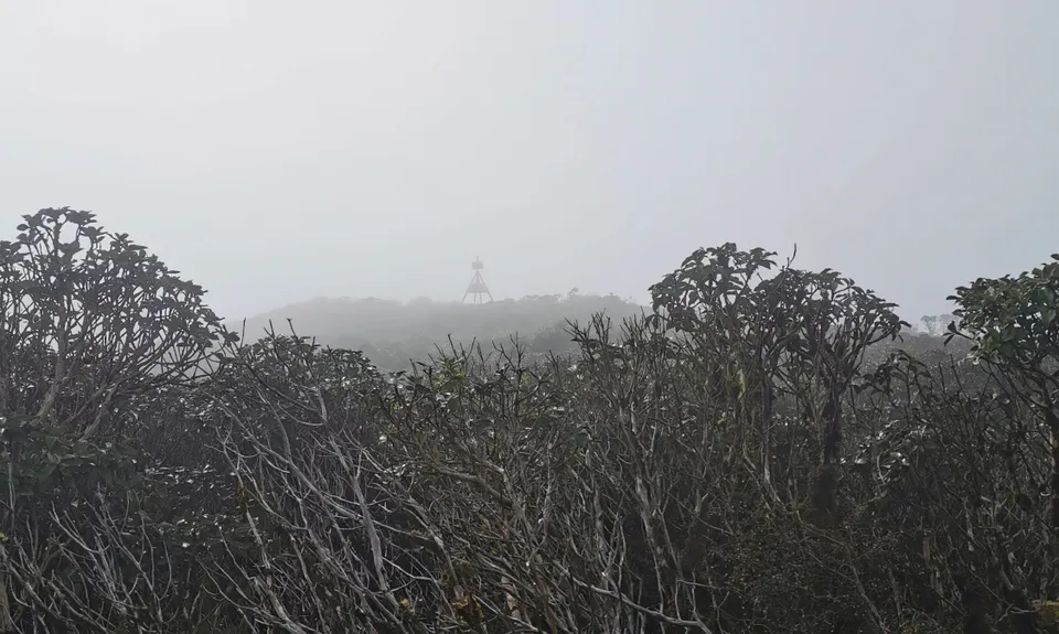
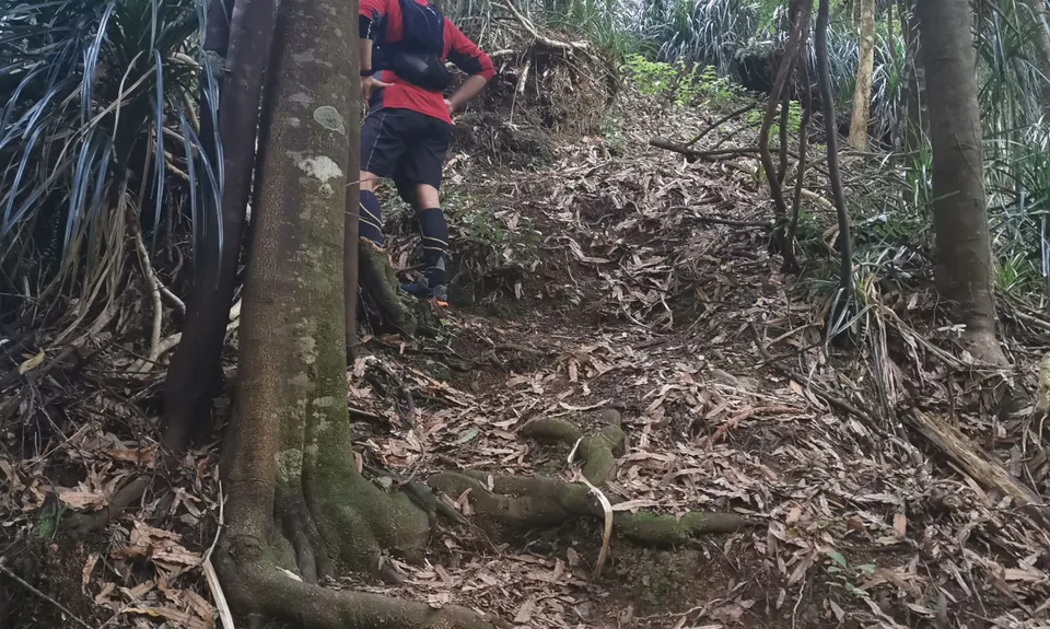
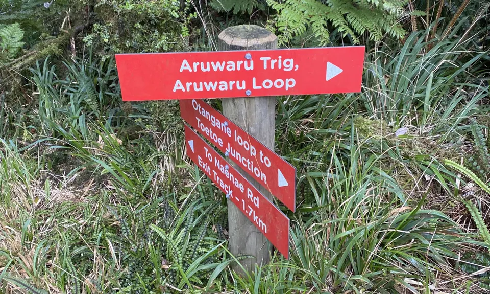
Arawaru Trig Loop
Last Updated: 15th May 2024
Grunt Factor: 29 ?
Gnarl Factor: 49 ?
15.0km
935m
935m
767m

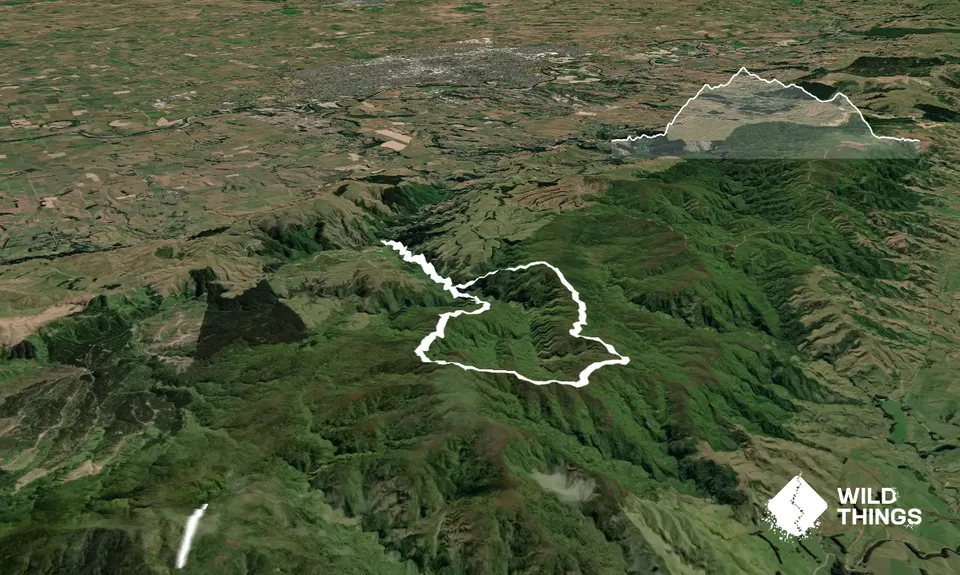
Trail Map
This Topo layer only covers NSW/ACT.
Switch to another map layer when viewing outside this area.
Switch to another map layer when viewing outside this area.


