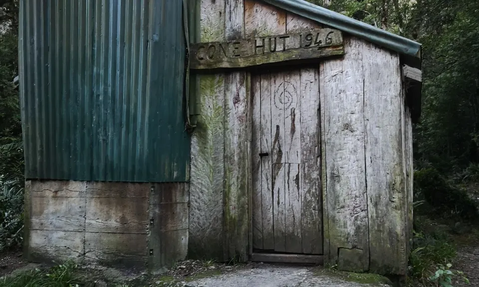
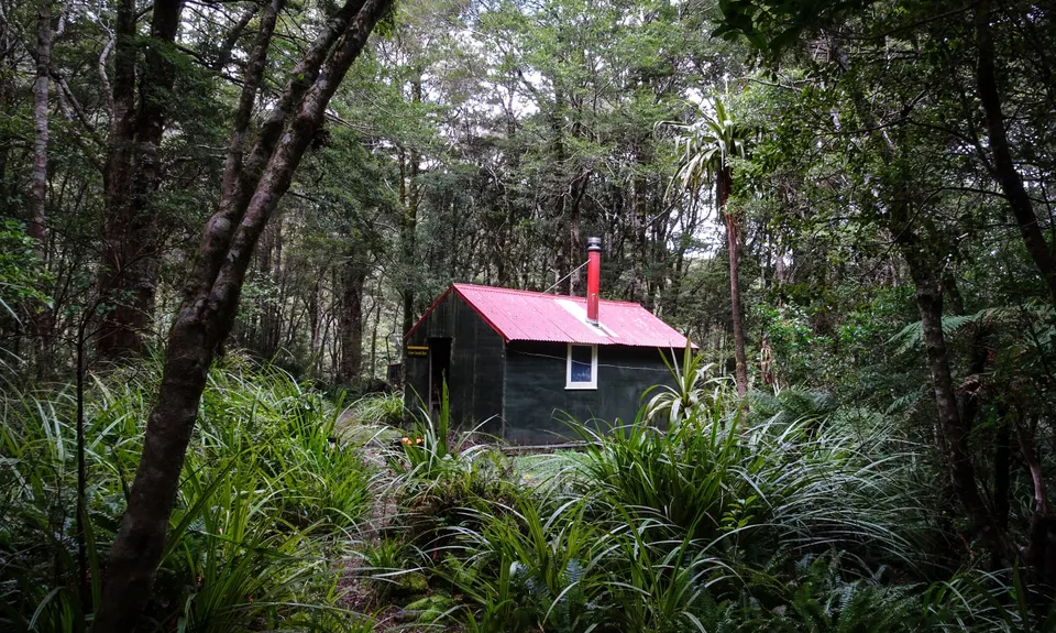
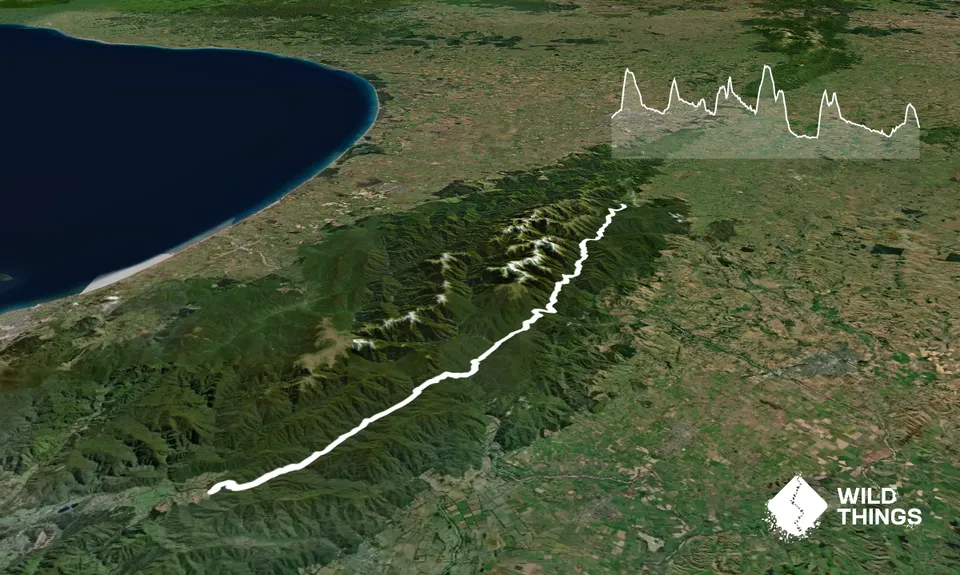
The route takes you over 5 saddles and through 6 different valleys whilst traversing the length of the Tararuas. There are several huts along the route which are used for time splits with plenty of good over nighting options. The route has varying degree of track levels from unmarked river travel, rough trails with markers and plenty of windfall, through to wide open, well trodden paths. Make sure you are comfortable and experienced with all sorts of trails and have the appropriate experience in navigation.
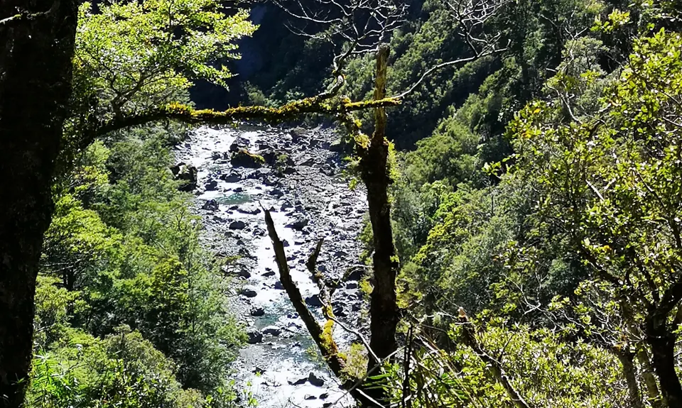
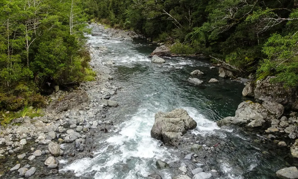
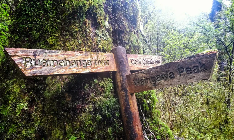
There is one area of note requiring description: After Roaring Stag Hut, cross the swing bridge and 50m down the track you'll find an easy access point to the Ruamahunga river. This is the only un-tracked section and is about 4km long and runs until Cleft Creek. If the river is low you can mostly stay next to the water with about 4 crossings required. It's faster to use the terraces in some locations. If the river is high, you'll have to sidle high on the true right, picking the best route whilst avoiding slips. This is slow so best pick a time when the river is low. At Cleft Creek, you can either climb straight up the bank on the true right of the fork to join the Cow Saddle Track, or head up Cleft Creek a bit where the track eventually comes into sight.
After this point, things are pretty much plain sailing. Keep an eye on your map and things can't go wrong.
For more information and hints, including splits etc, go to https://tararuafkt.wordpress.com/ and look up peoples Valley S-K reports.
Experience the changing landscape of the length of the Tararua Ranges from the valleys.
This is the valleys version of the Main Range S-K that takes the exposed tops (found here: https://www.wildthings.club/trails/manawatu-wanganui/eketahuna/tararura-traverse/). S-K stands for "Schormann to Kaitoke", as access used to be via the Schormann Track found near by before landownership changes, so really it's a P-K now but the historical name sticks.
The Valleys S-K is a lot easier and safer than the Main Range S-K with less altitude gain and loss. The trails are easier to move along too. A good option for someone wanting to test themselves out for a potential Main Range S-K attempt.
If you know of any public toilets near the trail start or on the route, please login and then let us know so we can update this section.
No public transport. Small side of the road car park in the grass. Generally plenty of space, but as this is a point to point run, get someone to drop you off nice and early in the morning.
19 km
44 minutes
Yes
No
Extreme.
It's a long way and there are plenty of opportunities to take a wrong turn, especially when tired. The main issue is the travel down the untracked Ruamahunga river where you need to be comfortable bush bashing over slips, etc if the river is high. In some spots tree fall will result in the track disappearing for a while. Knowing how to navigate in these conditions, especially when tired, is essential. If in the river whilst heading down the Ruamahunga, Cleft Creek is an obvious tight gorge entering off to your right.
Plenty of water along the route at huts and streams. Best to fill up from side streams to avoid giardia, but I've only heard of one case being picked up from right near the beginning.
Could do all year around, but a lot more pleasant in summer when the day's a warmer and longer. The rivers can be cold and dangerous so best to pick a dry period.
The Tararua Ranges are deadly with deaths occurring pretty much every year, not just on the tops. Rivers are a major cause of death in NZ so make sure you know how to cross them safely. The weather can and will change rapidly. A fine weather forecast can sometimes not mean much on this route as you'll be travelling between multiple valleys. If things get hairy, bail out to one of the many road ends.
Do you have a suggestion on where to go afterwards for the best coffee / cake / breakfast / brunch / beer?
These overlap with this trail to some degree. You may wish to combine them but please note that to qualify for FKTs on these runs you should record a separate activity for each.
We don't store or share your location; it's only used for these features. You can continue without it, just without distance sorting and live map features.
Send to your phone
Scan the below QR code to open this trail on your phone.
Tip: position the QR code in your phone camera screen.