Last Updated: 21st Sep 2023
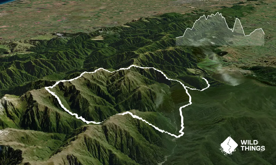
Herepai, Dundas, Cattle Ridge Loop
Last Updated: 21st Sep 2023
Open
Grunt Factor: 98 ?
Gnarl Factor: 94 ?
29.0km
3000m
3000m
1459m
Trail Map
This Topo layer only covers NSW/ACT.
Switch to another map layer when viewing outside this area.
Switch to another map layer when viewing outside this area.


