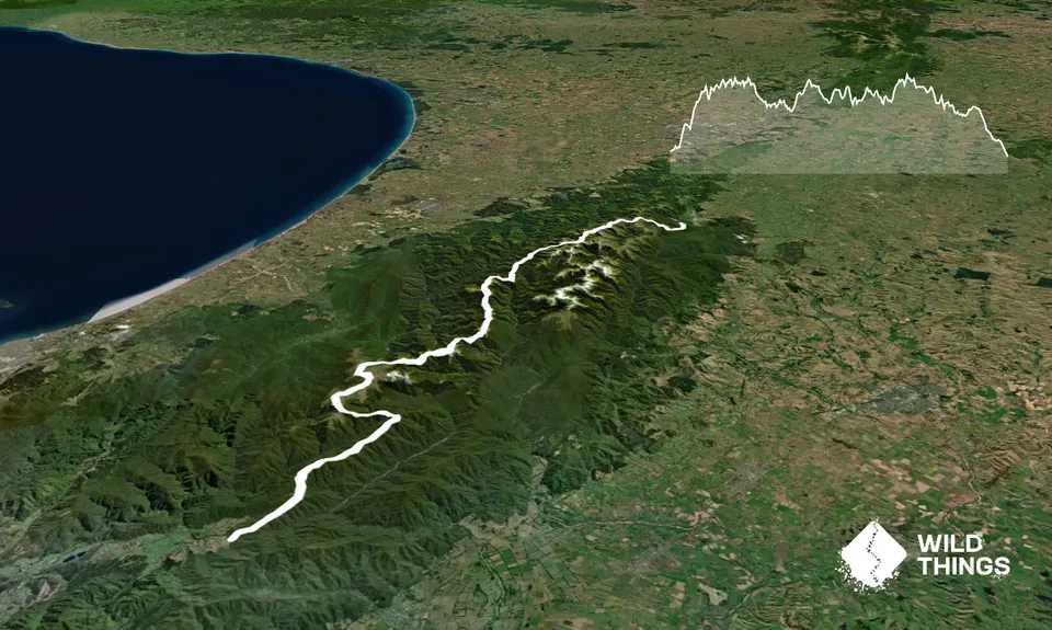
To complete the length of the Tararua Main Range in a weekend has long been a goal for members of Tramping Clubs in and around Wellington. Also known as a "Schormann to Kaitoke", the trip is wild rough, slow and not for the faint hearted, nor is it to be attempted in rough weather and the Tararua Range has a lot of rough weather.
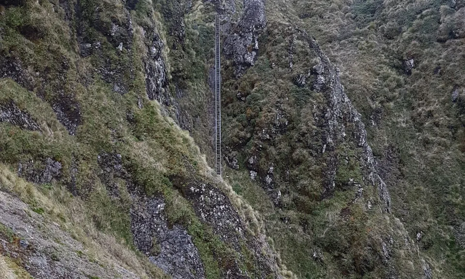
While parts of the track are now part of Te Araroa and have improved, other parts are difficult to follow and trip in a single push will mean significant amount of time in the dark. Map, compass and the ability to use them should be considered mandatory as you are likely to be out longer than your GPS watch will last. Many experienced locals have become lost while attempting the route.
This trip possibly has more history than any other run in New Zealand, it has it's own book and anyone considering the run should get a hold of a copy to read of the epic adventures.
Checking out times at https://tararuafkt.wordpress.com/routes/s-k/ will help with planning for food and shelter if required. Many of the sub-24 hour attempts have involved roping together a cluster of friends to take supplies into some of the huts. But I thoroughly endorse the simplicity of getting dropped off and running to the other end with a mate.
If you know of any public toilets near the trail start or on the route, please login and then let us know so we can update this section.
There is plenty of parking space at the start, an area to camp before your early start. Getting someone to drop you off is the best way to get there, but back in the early days of the trip it was done by train and then taxi.
19 km
43 minutes
Unknown
No
Hard.
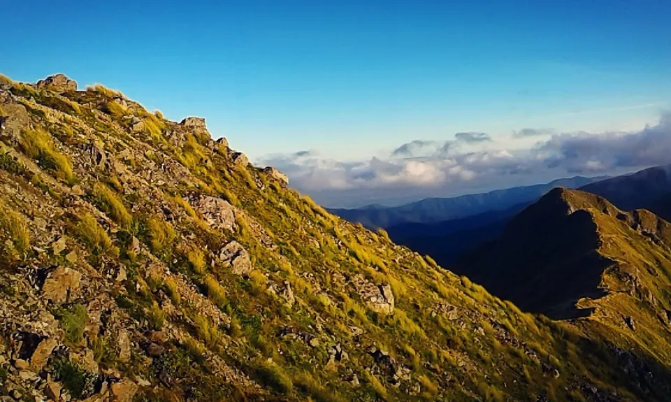
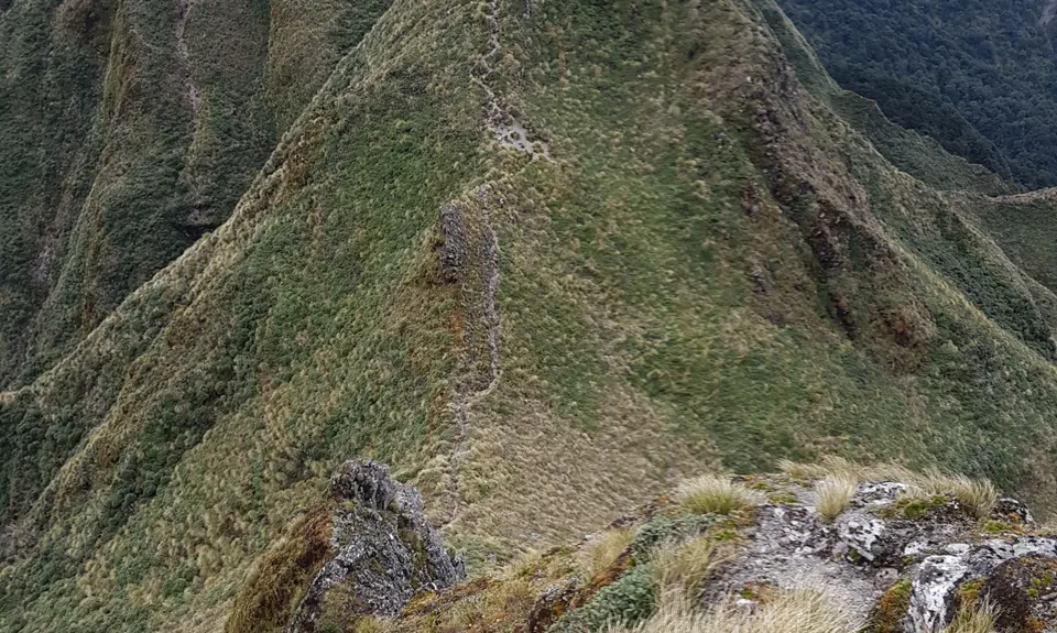
On a clear day the trip and track is relatively straight forward to follow. However if the clouds come down then visibility will be near zero and the potential for disaster is very, very high. The early parts around Dundas and Arete have caused problems for some and the Marchant ridge when tired and in the dark can be difficult to follow.
Water is available from the well spaced huts along the route but is more or less non-existent between them. To break 24 hours there are a couple of stretches up to 5 hours with no water.
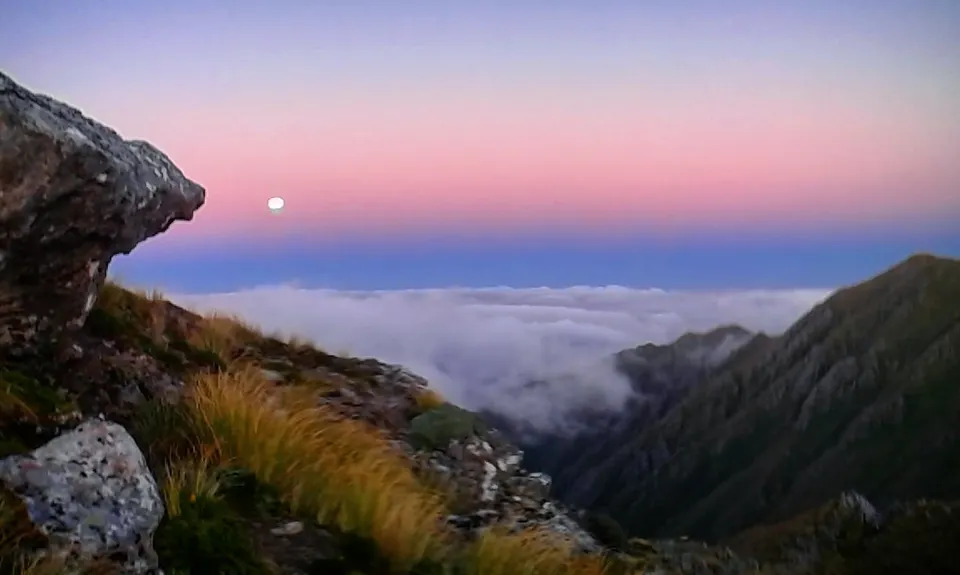
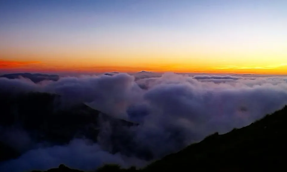
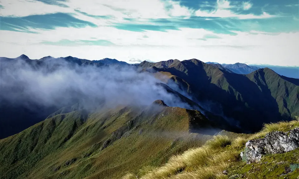
The Tararua Range has in the vicinity of 250 bad weather days per year. It can and does snow all year round. October to April are the best time to attempt this, the more daylight hours you have the better. Local advice suggests that the 48 hours after a southerly front has passed generally provide good conditions.
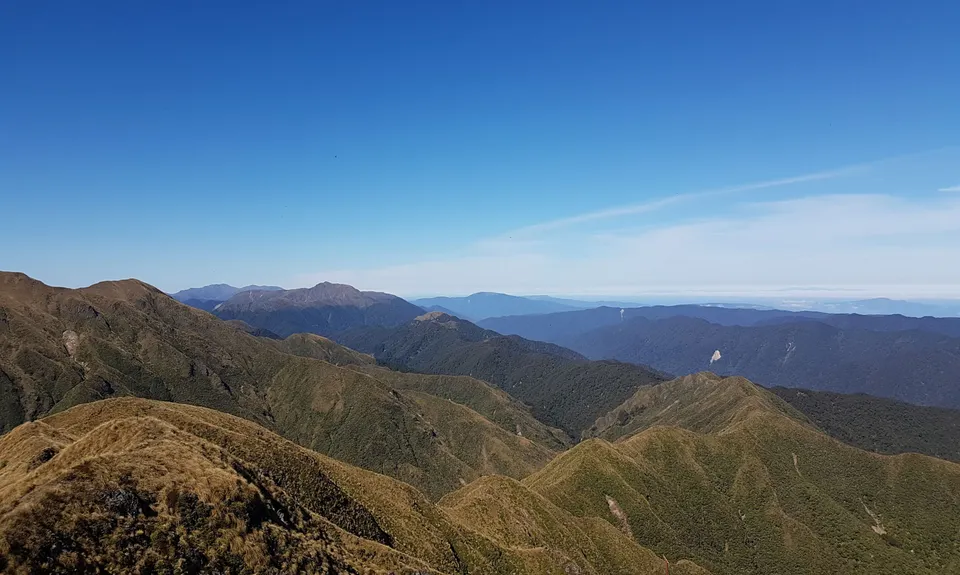
The popularity of the Tararua Range means that it is often taken for granted, however the Southern end has an unobstructed line to the Antarctic and is often hit with deadly southerlies. While there are plentiful huts for shelter, the potential to get lost and be caught out is quite high. This is a serious trip.
Sleep
It may come to you without asking
Garage Project - Beer
91 Aro St, Aro Valley, Wellington 6021 https://garageproject.co.nz/products/beer
If sleep doesn't attack you then celebrating the finest trip in NZ with the finest beer in Wellington is appropriate. I didn't get to drink mine, as recommendation #1 happened.
Do you have another suggestion on where to go afterwards for the best coffee / cake / breakfast / brunch / beer?
Great and challenging run - pretty epic mission. https://tararuafkt.wordpress.com/fkt-reports/main-range-sks/2020-sk-reports/ian-gilmour-main-range-sk-2020/
Incredible & tough traverse of the tararuas, highly recommendedhttps://tararuafkt.wordpress.com/fkt-reports/main-range-sks/2020-sk-reports/alastair-mcdowell-main-range-2020/
We don't store or share your location; it's only used for these features. You can continue without it, just without distance sorting and live map features.
Send to your phone
Scan the below QR code to open this trail on your phone.
Tip: position the QR code in your phone camera screen.