Bushy Breathtaking Branch RdBeginner - Intermediate
Submitted by Rosie Rochester
Front country - easily accessible
Out and Back
Undulating, small hills only
Native bushPlantation/exotic forestOpen farmlands
Beginner - Intermediate
1:50 (Slow)
1:30 (Moderate)
0:55 (Fast)
-8.6%
+8.6%
CLOSED September & October for lambing NO DOGS as it crosses private farmland Keep to the route at all times in order to retain future access
Fastest Known Times (FKTs)
Please set your gender to see your position on the FKT leaderboards.
The more , the harder the FKT will be to beat. Learn about Fastest Known Times.
Description
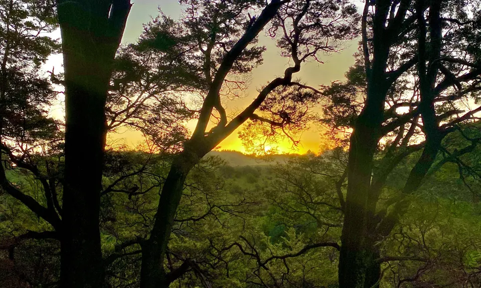
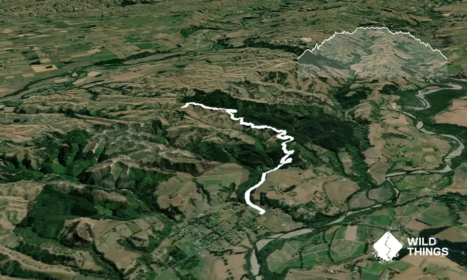
The scenic walkway follows the route of an abandoned country road route that links the Pohangina Village with Ridge Road.
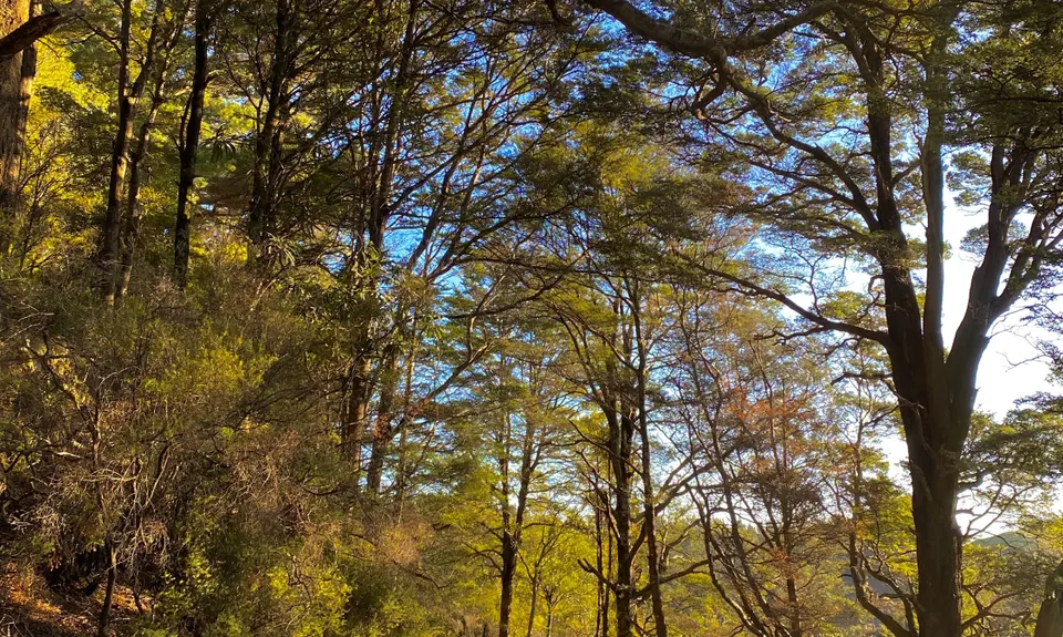
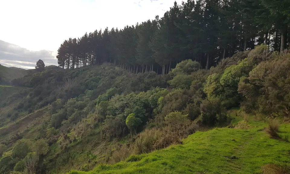
On Kuku Rd you start at the signpost for Branch Rd by climbing over the first of 14 stiles. Follow the Green wooden signs with yellow arrows. Throughout the trail you will just continue to follow these or white markers. You will be passing through pine plantations and some steep but short climbs. At times the trail is extremely skinny with roots underfoot. The track then crosses into lush green native bush with tree ferns, beech and regenerating shrubs.
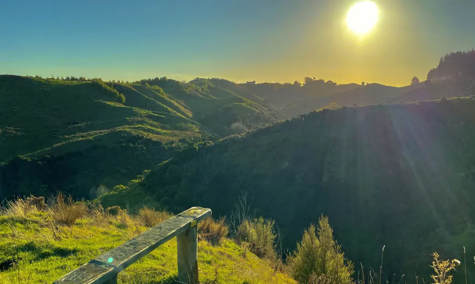
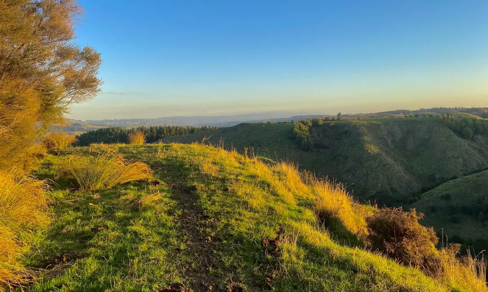
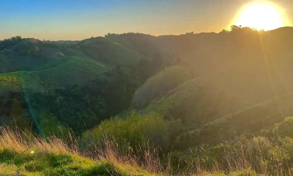
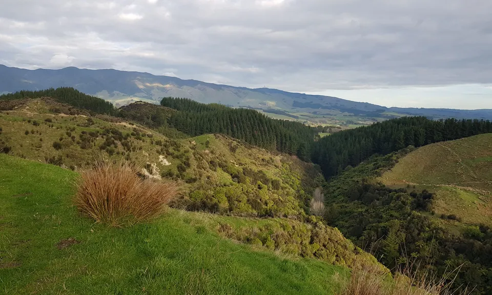
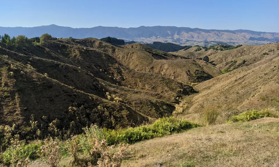
At 3km you climb a stile and you then start the next 3km farm section that continues on to Ridge Road. The track ascends gradually through open farmland and on a clear day you will enjoy extensive views of the valley below and out over to the Ruahine Ranges for as far as the eye can see. The views are breathtaking. Depending on if stock have been grazing recently there can be a fair amount of poop to avoid and a 1km section that has some large areas of mud year round. In winter it can be particularly slow going and if you're not careful you may well have a shoe swallowed by the mud monsters!
The final stile to climb welcomes you to Ridge Rd, your highest point & turnaround spot. There's a signpost and information board there, its a beautiful spot for a snack while enjoying the views. The run back is pretty much all downhill and is around 15 minutes quicker.
Trail Community
Features of interest
This trail follows the route of an abandoned County road linking Pohangina with Ridge road. In 1948 explorer William Colenso with two Maori guides followed this route on his trek from Hawkes Bay to Lake Taupo.
Make Up of Run
Moderate Single Track: 30%
Easy Single Track: 40%
Farm Road / 4WD Track: 30%
Route Data
Reviews:
Photos:
Your Trail Wishlist
All the runs that are on your To Do list (no limit).
Add to wishlist view wishlistWild Explorers
I did it!-
Access
Kuku Rd, Pohangina Valley. 30 minute drive from Palmerston North, 15 minutes from Ashhurst.
16 km
13 minutes
No
No
-
Staying Safe
Easy.
Generally good.
Long-sleeved thermal top, Windproof jacket, Beanie/thermal headwear, First aid kit, Extra food for emergencies, Cellphone.
None, bring your own
A 1km section from around 3-4km in is very muddy in winter.
A few sections have narrow trail and steep drop offs.
-
Sponsor this trail