Last Updated: 29th Dec 2024
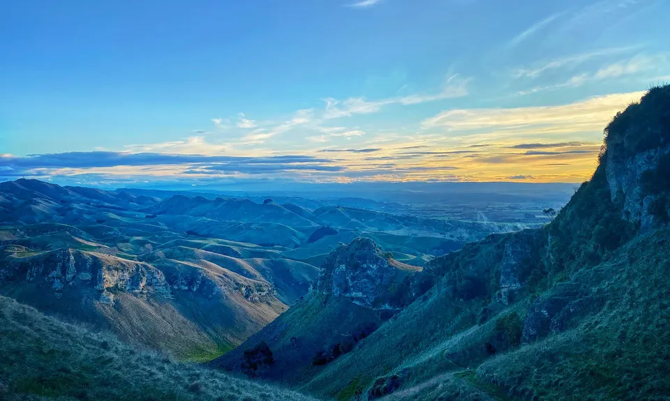
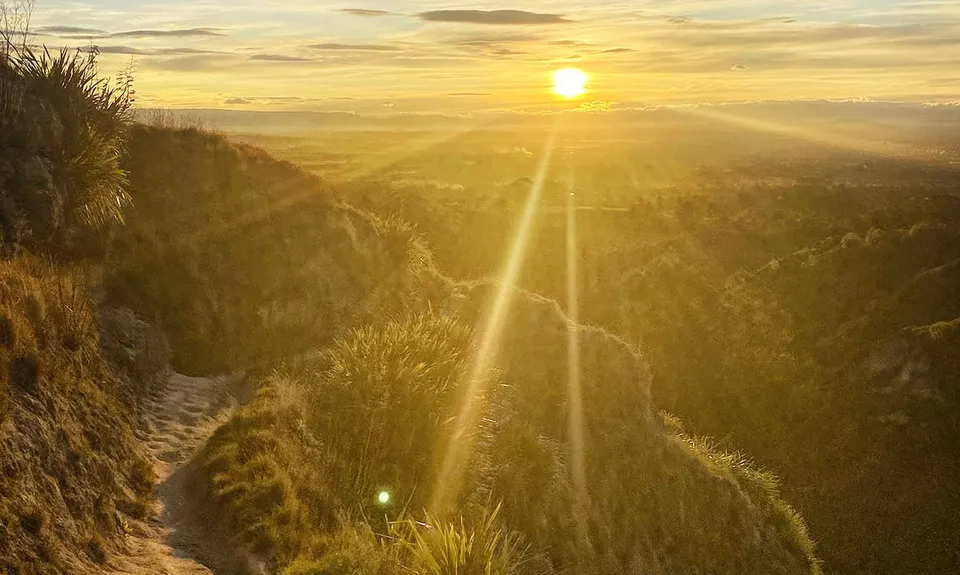
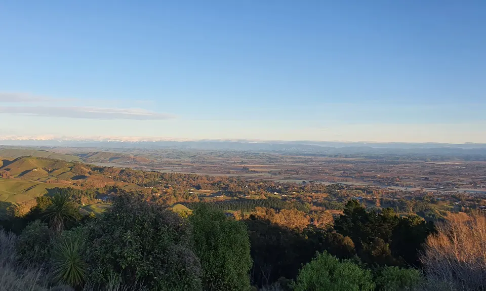
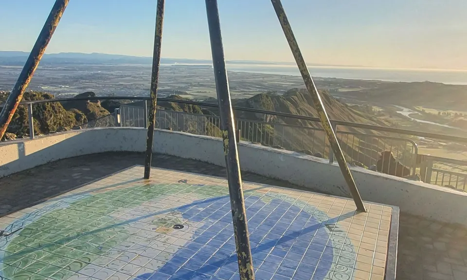
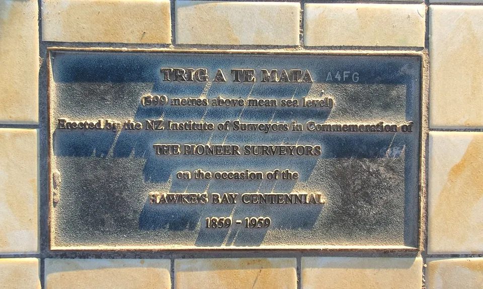
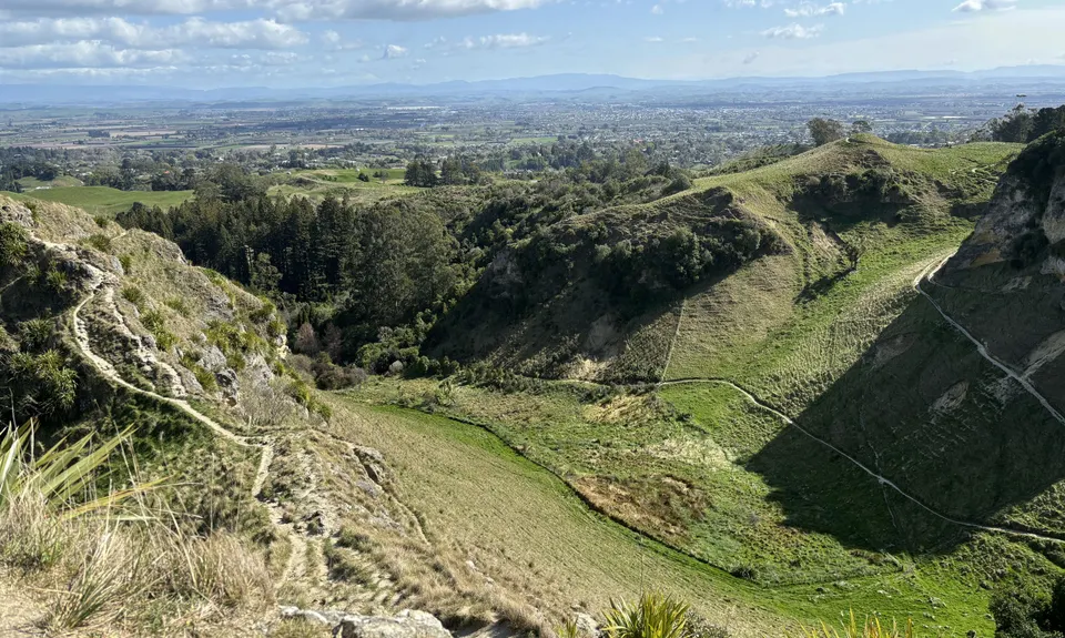
You say Tomato, I say Te Mata
Last Updated: 29th Dec 2024
Open
Grunt Factor: 15 ?
Gnarl Factor: 43 ?
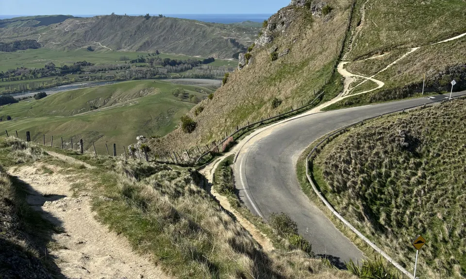
8.5km
500m
500m
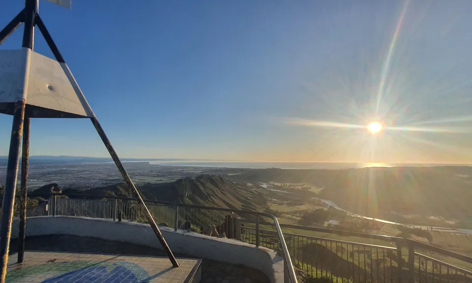
426m
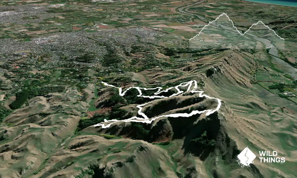
Trail Map
This Topo layer only covers NSW/ACT.
Switch to another map layer when viewing outside this area.
Switch to another map layer when viewing outside this area.


