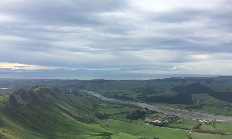
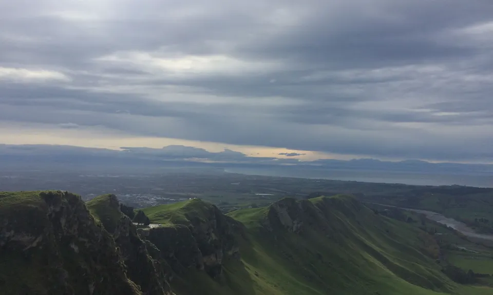
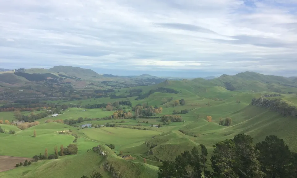
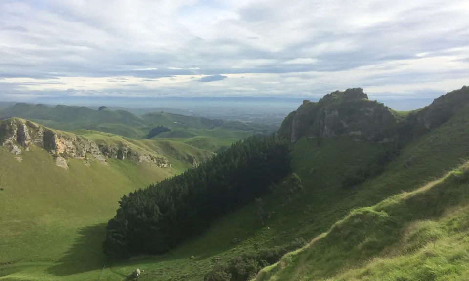
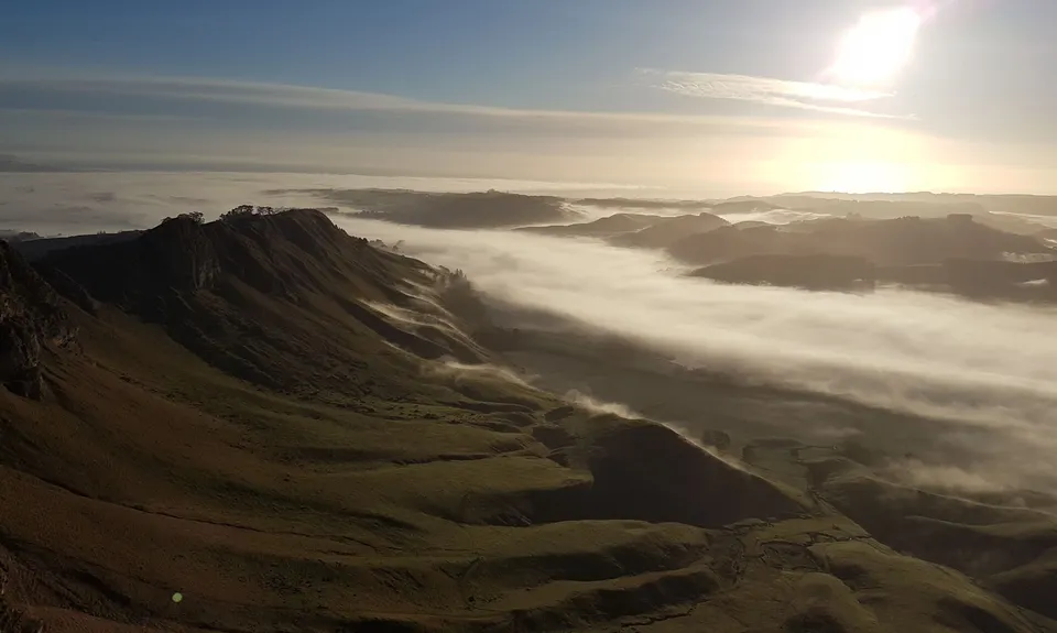
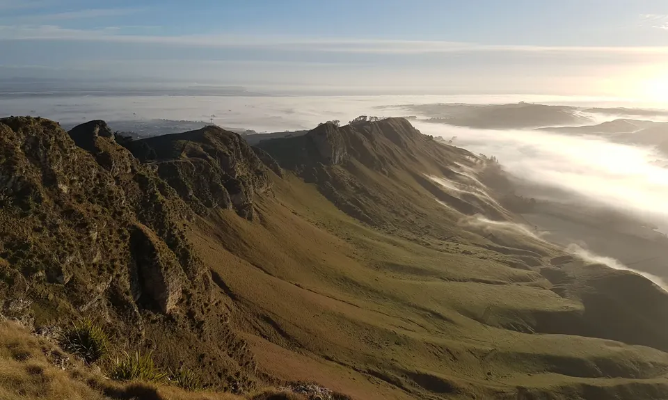
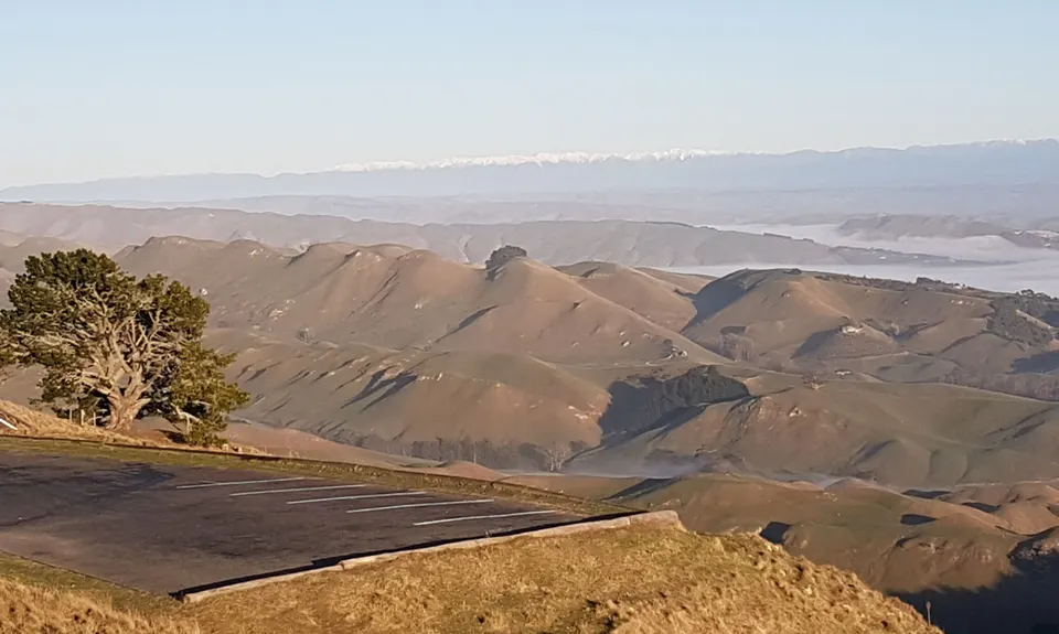
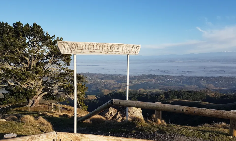
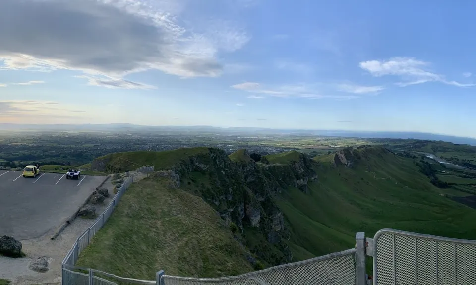
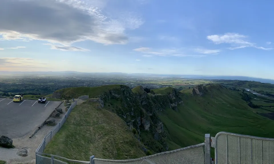
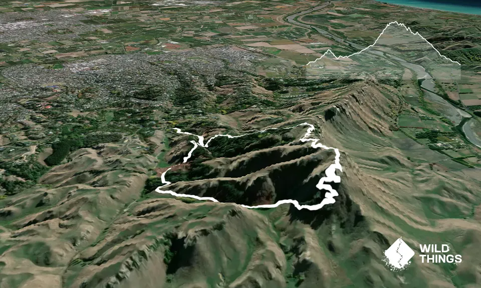
Te Mata Peak Giant TrackBeginner - Intermediate
Submitted by Melissa Franklin
Beginner - Intermediate
1:10 (Slow)
0:50 (Moderate)
0:40 (Fast)
-15.2%
+14.4%
Fastest Known Times (FKTs)
Please set your gender to see your position on the FKT leaderboards.
The more , the harder the FKT will be to beat. Learn about Fastest Known Times.
Description
Starting at the Chambers Walk carpark, head up the Chamber Walk for about 700m until you see a track going to the right. Take this track noting the red track markers as these will be the colour markers you will follow for this run. You will continue to follow these track markers as they take you up and over to the redwoods. Once in the redwoods you will need to go left and then right towards the fence line to climb the sty over the fence. This track with take you around the side of Te Mata peak to eventually you will start climbing up the zig zag track to the top. Once at the top take a moment to check out the views of pretty much the whole of the Hawke's Bay. The track will take you to the carpark at the top and you will need to cross the carpark to continue on the track which runs down the fenceline on the right. This track will continue down the peak with the road to its left. The track condition has deteriorated over the years and can be muddy after lots of rain so watch your feet, but remember to look up and enjoy those views (watch the wind gusts don't take your hat off too!) Continue to follow the track as you head down the peak. At about the 5.5km mark you will have to cross the road (watch for cars) to rejoin the track at the other side of the carpark to your right. This track will now take you back to Chambers Walk and then to where you started. You can extend this run by taking the blue track to the top of peak again (a different way) or the orange track which will take you up to the water tanks (not quite to the top) you past coming down the first time. Adding one of these will make your run 10-11kms long. Just beware of mountain bikers and other people using these tracks as it can be a very popular place everyday.
Trail Community
Features of interest
Beautiful redwood forest with some massive trees.
Make Up of Run
Technical Single Track: 20%
Moderate Single Track: 40%
Easy Single Track: 40%
Route Data
Reviews:
Overlapping Runs
The following trails overlap with this run to some degree. You may wish to combine them but please note that to qualify for FKTs on these runs you should record a separate Strava activity for each

You say Tomato, I say Te Mata
Length: 8.50km
Photos:
Your Trail Wishlist
All the runs that are on your To Do list (no limit).
Add to wishlist view wishlistWild Explorers
I did it!-
Access
From Havelock North Domain, drive up Duart Road, which eventually becomes Tauroa Road, to its end at a carpark (Chambers Walk carpark).
Plenty of parking at the carpark at end of Tauroa Road which can be quite a busy place.
4 km
6 minutes
Yes
No
-
Staying Safe
Easy.
Make navigation of this route super-easy by using the Capra app on your phone. View on Capra .
Just look for the red track markers and cross the carparks to find the tracks continue on the other side of them.
Perfect throughout.
Long-sleeved thermal top, Seam-sealed waterproof jacket, Gloves, Beanie/thermal headwear, Whistle, First aid kit, Extra food for emergencies, Cellphone, Map.
None.
Can get very muddy in winter and the winds can be cold at the top.
Watch for mountain bikers.
-
Sponsor this trail
See other runs nearby:
Tukituki River Trail
Tukituki Explore
Westshore Flattie
You say Tomato, I say Te Mata
Park to Pond
Blowhard Bush