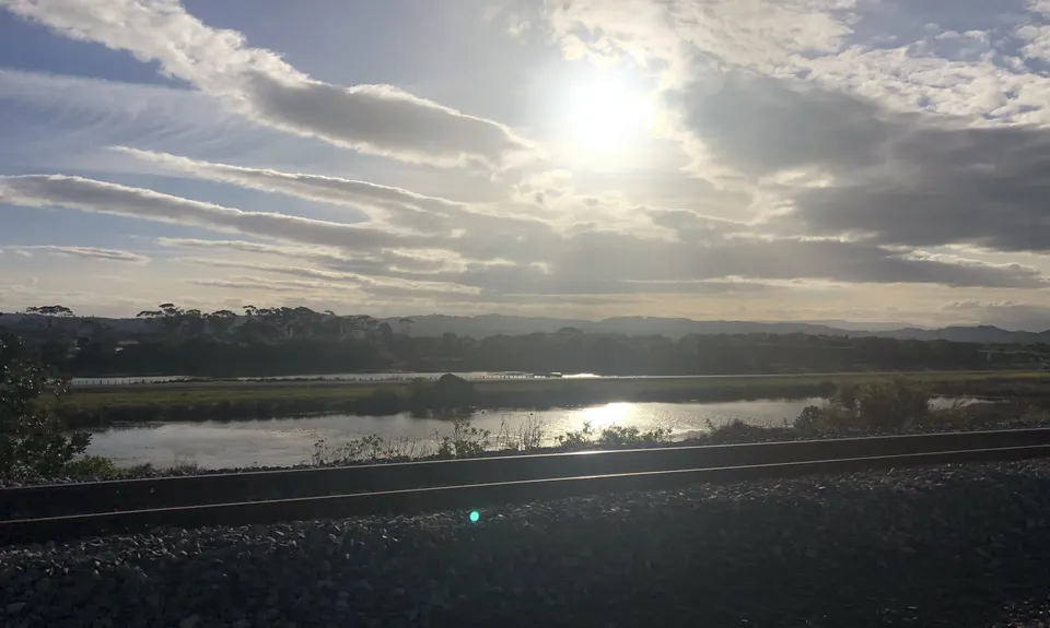
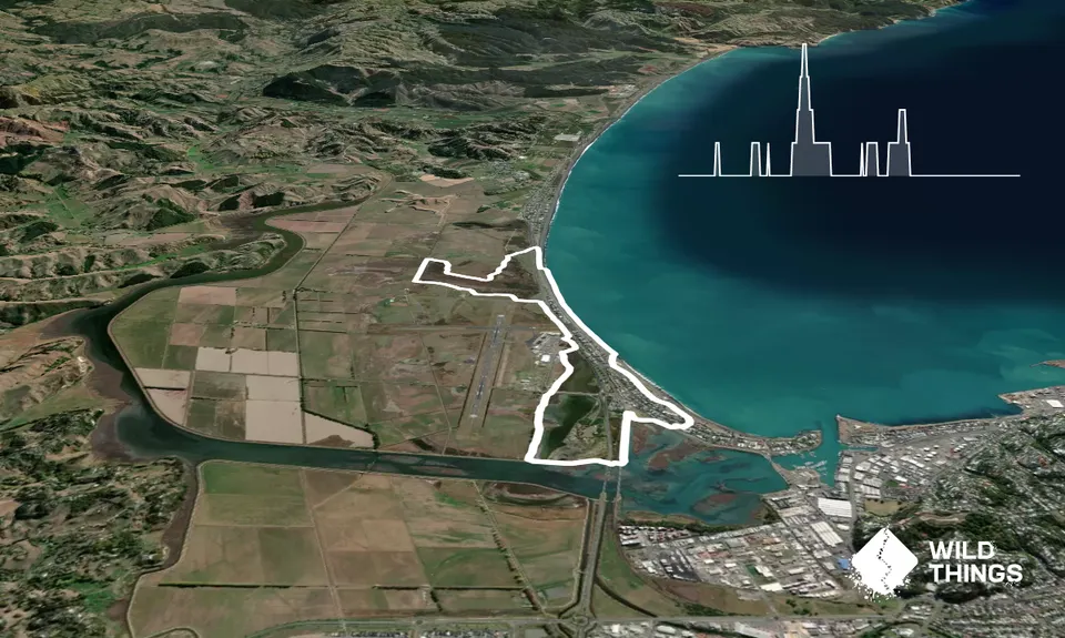
This run evolved into something different to my original plan, so here is what I did followed by my suggestion. I left the Albatross Motel and headed over the road onto the obvious trail heading North. After a few hundred metres this reaches a disused road with walkway signs, turn left here and follow the road until just before the combined rail and road bridge. There you will see a trail to the left and then down under the bridge. Head down this track and follow it as it heads under the SH2 bridge as well and onto the trail the other side.
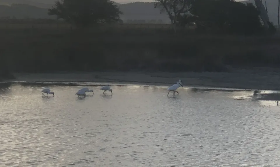
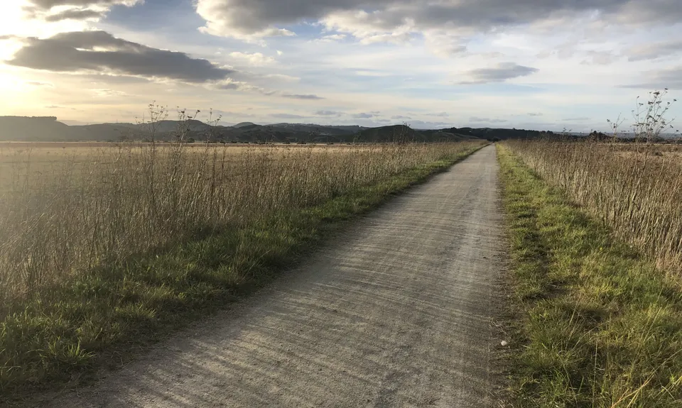
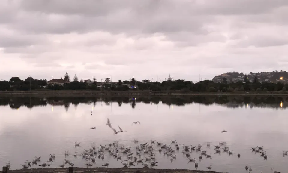
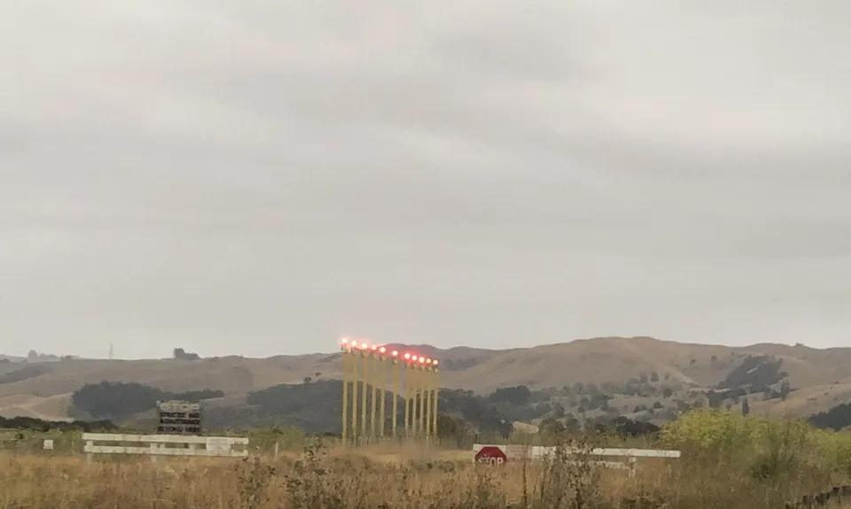
Follow this trail as it takes a right turn and all the way to the airport. At the airport follow the sign to BayView. Once you have skirted the airport you will be on the trail around the wetlands. Follow this trail around the large wetland area to just over 8km where you will see a small bridge and signs for the Water Trail, but also a gravel track to the right, head right on this and follow it to the road.
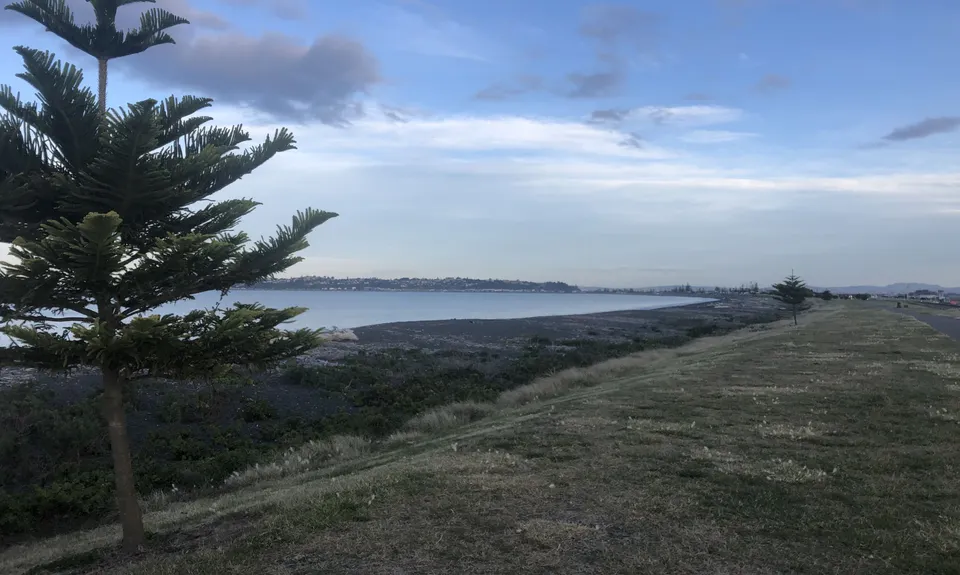
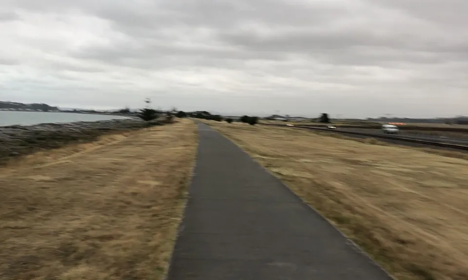
Carefully cross the road and the even more carefully cross the railway line. Here you will find the concrete cycleway. If the tide is out (even halfway) you then hop onto the beach and follow the beach right back into Westshore.
The tide was coming back in as I was running and I had to leave the beach about 1km from the end. You will find it tough running on this gravel beach... but it's not supposed to be easy and the trail is bloody flat. If the tide is in, then follow the cycleway, although you may prefer the grass next to it as concrete is very unforgiving. Once back on the road look for Naomi Street which will take you back to where I started.
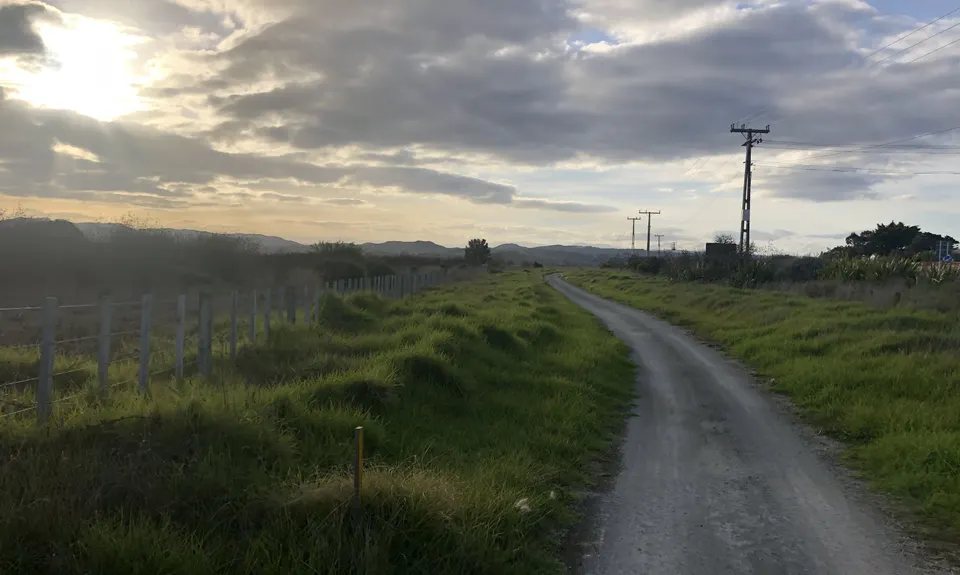
The optional start (which I wish I had done) is to head on the trail towards Napier at the start (instead of north), a few hundred metres down the road you will see the very obvious entry to the wetland walkway, follow this and it will take you to the same unused road near the road/rail bridge... after that the trail is the same. As this is the best route you can still tick this trail as done if you go that way.